Report of the APRSAF/SAFE-ESCAP Meeting in UNESCAP, Thailand, May 2017
< Last Update: Jun. 14, 2017 >
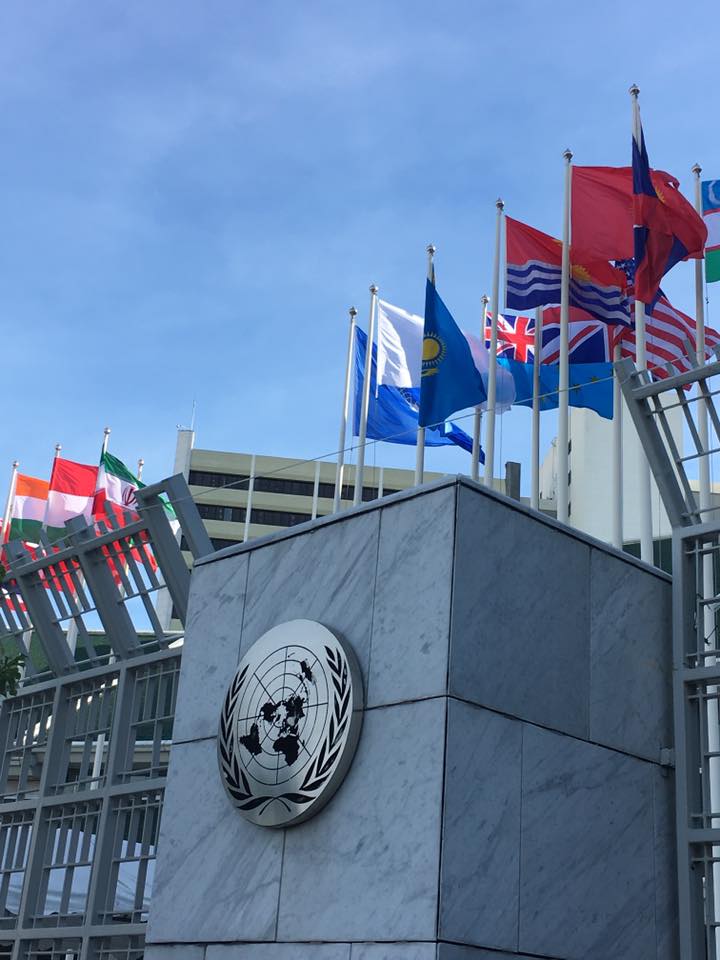
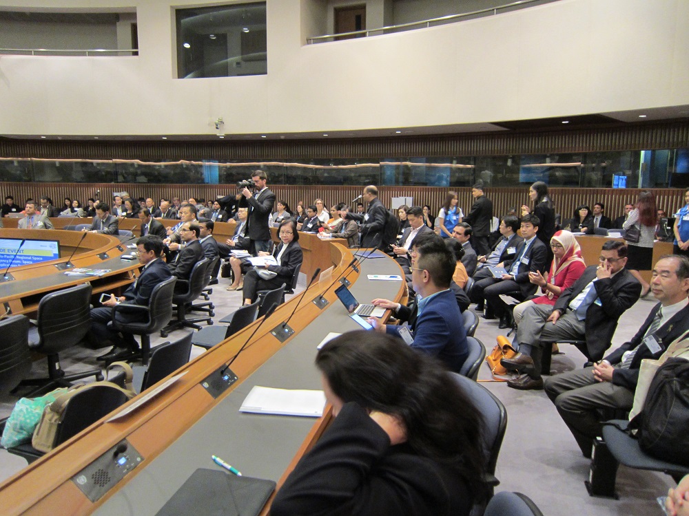
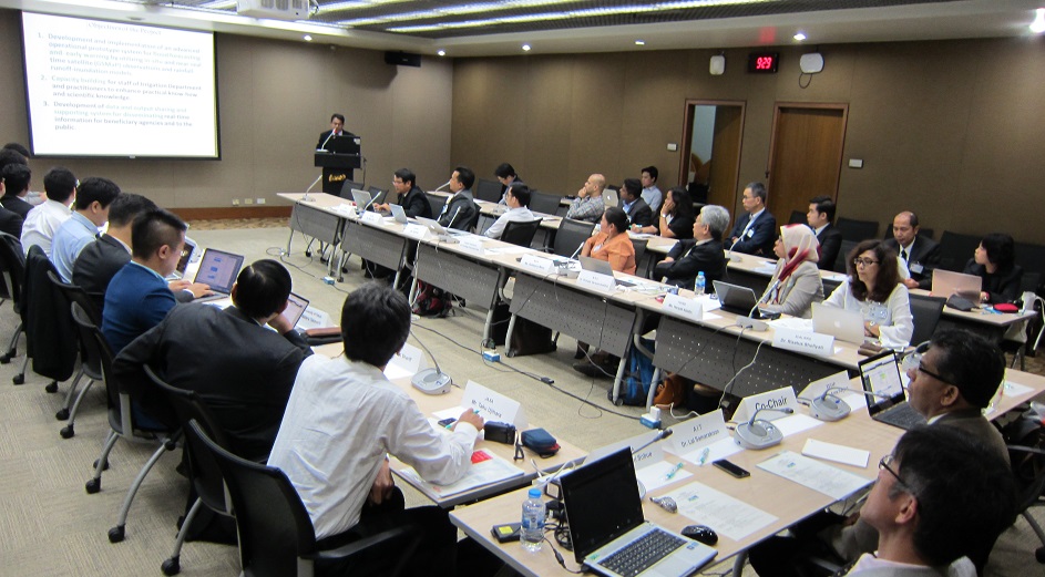
The APRSAF/SAFE-ESCAP meeting was held at the United Nations Economic and Social Commission for Asia and the Pacific (UNESCAP) in Bangkok, Thailand on May 15, 2017. It was co-organized by ESCAP and the Japan Aerospace Exploration Agency (JAXA) at the occasion of the seventy-third session of the Commission of ESCAP. The status of five on-going prototypes and one follow-up activity was reported, along with two final results of prototypes. Around 45 people from 7 countries (Indonesia, Japan, Cambodia, Malaysia, Myanmar, Sri Lanka, and Thailand) and international organizations, including the Mekong River Commission, participated in this meeting.

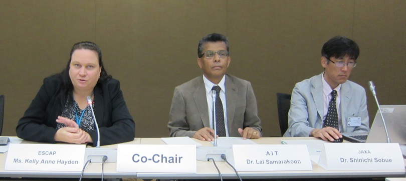
The SAFE meeting was led by co-chairs, Ms. Kelly Anne Hayden, Economic Affairs Officer of the Space Application Section, ESCAP and Dr. Lal Samarakoon, Executive Director of Geoinformatics Center (GIC), Asian Institute of Technology (AIT). Ms. Hayden opened the floor and expressed an expectation of fruitful discussion among space technology experts, high level officials and potential end users, in having the opportunity of collaboration with the seventy-third session of the Commission of ESCAP. Following Ms. Hayden's remarks, Dr. Lal Samarakoon expressed his appreciation to ESCAP's support for the workshop.
At the beginning of the workshop, Mr. Ko Hamamoto, Earth Observation Research Center (EORC), JAXA (SAFE Secretariat) reported the results of the SAFE Workshop held as part of the APRSAF-23 in Manila, the Philippines. In the workshop, 5 progress reports of on-going prototyping (water resource management, agriculture: oil palm, agriculture: rice crop, and forestry) and one follow-up report were presented and suggestions/comments were provided by participants. The participants confirmed progress of these on-going prototypes. The suggestions and comments are given below.
Also, two prototypes were reported as final reports. As for the prototyping of 'Efficient Oil Palm Management Prototyping Using 3D GIS' (FVGRD, Malaysia), the participants confirmed the usefulness of the SAFE method developed for replanting and 3D GIS to update the blueprint and necessity of further verification to extend to the operational use. Regarding the prototyping of 'Deploying GSMaP for Decision Support in Transboundary Catchments in the Lower Mekong Basin' (MRC), the participants confirmed to verify SAFE prototyping results and support MRC's decision to move forward.
As already mentioned, this SAFE meeting was held at the occasion of the seventy-third session of the Commission of ESCAP. This collaboration led to a joint Luncheon session on 'Space Applications for Environment and Sustainable Development Goals (SDGs)'. ESCAP presented space applications which have the potential to support SDGS, and mentioned New Asia-Pacific Plan of Action for Space Applications (2018-2030). GISTDA introduced the various activities, including regional capacity development, to promote the applications of space technology for supporting disaster risk reduction and inclusive and sustainable development in ASEAN region. ICHARM and ICALRD, Indonesia, also presented water resource management and agriculture applications which have linkages with the SDGS. As both the Asia-Pacific Regional Space Agency Forum (APRSAF) and ESCAP have a common interest in maximizing the innovative contributions of space technology applications to the attainment of the SDGs in the Asia-Pacific region, ESCAP's Commission session provided an excellent opportunity to showcase the benefits of space applications to policymakers and end users not necessarily familiar with their potential.
In the general discussion of this APRSAF/SAFE-ESCAP Meeting, Dr. Shinichi Sobue, Co-chair of Space Applications Working Group (SAWG), APRSAF-23, showed SAFE initiative's possible contribution to SDGs and suggested to discuss the linkage between SAFE and SDGs with international stakeholders, including ESCAP, in the next APRSAF-24 which will be held in India, November 2017.
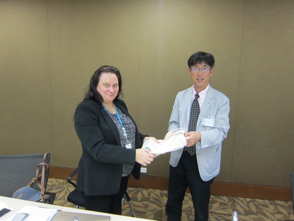
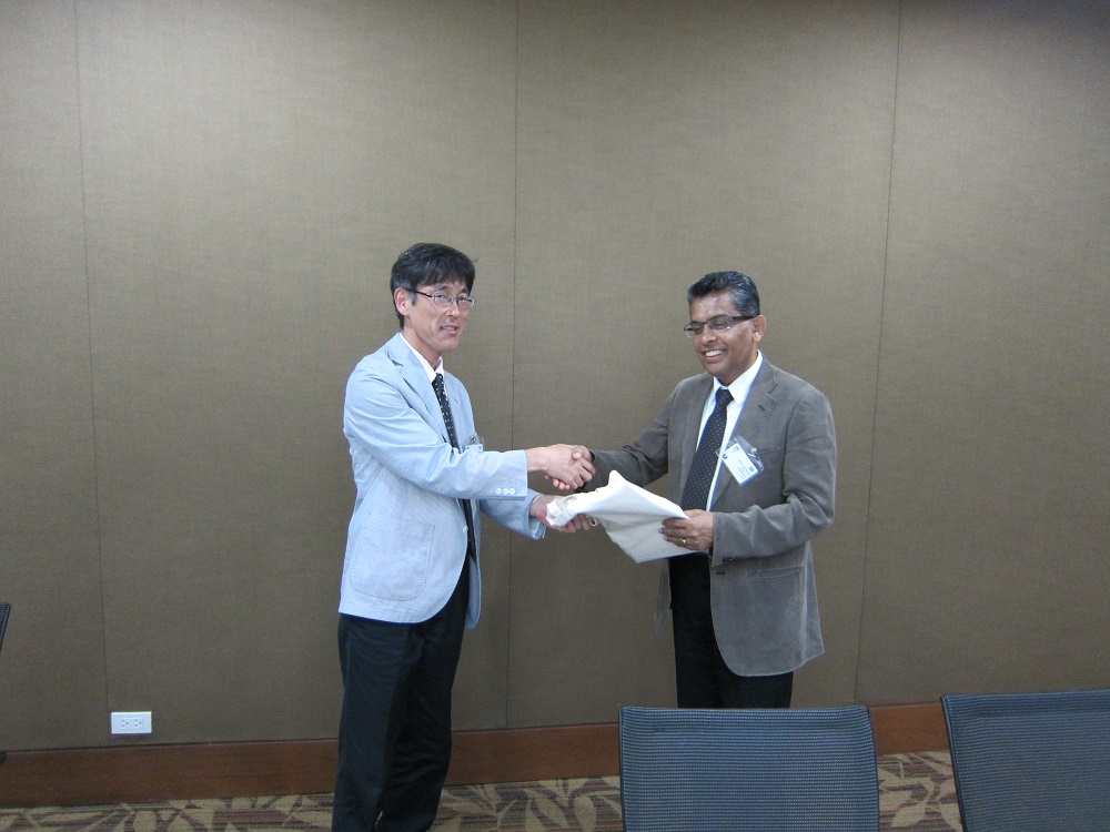
At the end of the workshop, tokens were given to co-chairs.
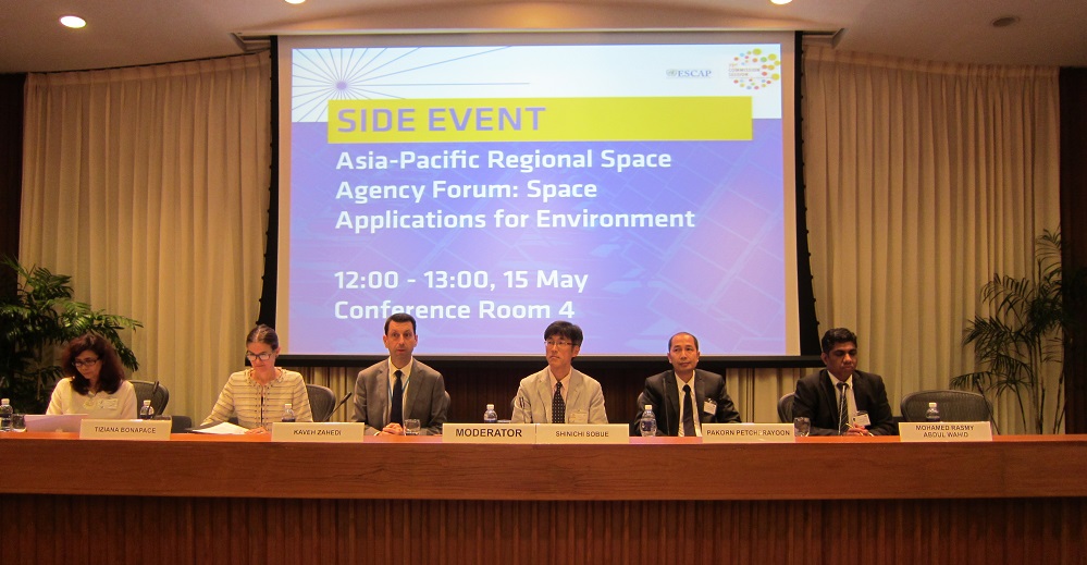
Luncheon session was held in collaboration between ESCAP and APRSAF/SAFE.
Result of the APRSAF/SAFE-ESCAP Meeting
1.Comments for on-going reports
General Comments and Suggestions
(For the prototyping activities related with water)
- Recommend to collaborate with GSMaP research group to improve GSMaP correction
- Recommend to collaborate with regional activities for drought monitoring issue
(For the prototyping activities related with agriculture)
- Recommend to collaborate with AFSIS to standardize the method for validation
- Better to clarify the source of validation (agriculture statistics which have different method in each country)
- Need to consider the improvement of crop mask
a. Cambodia (Rice Production Estimation)
- Confirmed the good progress and expected to have a good discussion with technical supporters
b. Indonesia (Oil Palm Monitoring)
- Recommend to share the information with IPB which conducts similar collaboration with private sectors
- Need to discuss the Min of Finance to check their expectation about accuracy
- Better to distinguish between plantations and small holders which have different tree densities
c. Sri Lanka (Advanced Flood Forecasting)
- Confirmed the good progress
d. Myanmar (Agricultural Land Management)
- Confirmed the good progress
e. Indonesia (Haze Monitoring)
- Requested to shape up the contents of the presentation based on the kick-off meeting on March
2.Comments for follow-up activities
a. Indonesia (Paddy Crop Monitoring)
- Congratulate successful achievements with good outputs
- Recommend to collaborate with LAPAN, JAXA and AFSIS for operational use
3.Comments for final reports
a. Mekong River Commission (GSMaP for decision support)
- Confirmed the maximum effort in limited time and resource
- Request to revise the PDM as the final output to trace the activities
- Make a best effort to use the outcome in MRC activities, for example, re-calibrate SWAT model with GSMaP
b. Malaysia (Efficient Oil Palm Management)
- Congratulate its successful completion
- Recommend to demarcate between the activities for following up and the activities to be considered as a new proposal