Report of the SAFE Mini-Workshop in Jakarta,
Indonesia
< Last Update: June 17, 2016 >
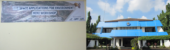
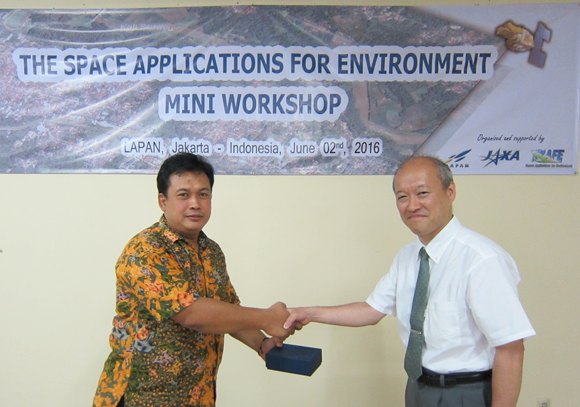
The SAFE Mini-Workshop was held at the National Institute of Aeronautics and Space (LAPAN) of Indonesia on June 2, 2016. It was co-organized by LAPAN and Japan Aerospace Exploration Agency (JAXA). Status of six on-going prototyping and two follow-up activities were reported. Around 50 persons from 8 countries (Indonesia, Japan, Cambodia, Malaysia, Myanmar, Singapore, Sri Lanka, and Vietnam) and some international organizations, including SERVIR-Mekong, participated in this workshop.
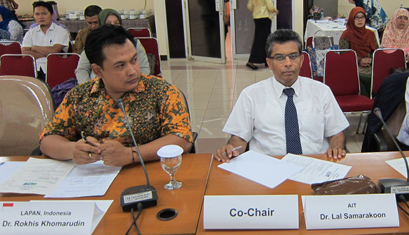
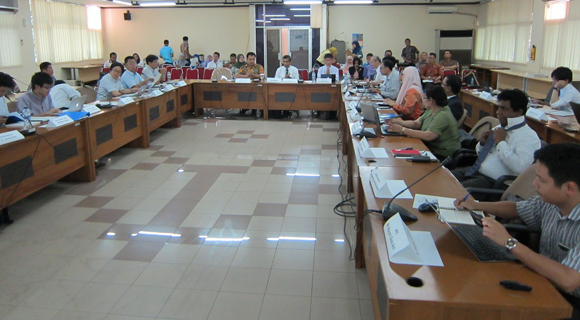
The SAFE workshop was led by co-chairs, Dr. Lal Samarakoon, Director of AIT/GIC and Dr. Muhammad Rokhis Khomarudin, Director of Remote Sensing Application Center, LAPAN. Dr. Rokhis opened the floor and expressed expectation to fruitful results of the workshop. Following Dr. Rokhis's remark, Dr. Lal Samarakoon and Mr. Hiroshi Miyoshi, Deputy Director of Earth Observation Research Center (EORC), JAXA made opening remarks with expectation to the fruitful discussion of the workshop and JAXA's intention of contributing to practical use of SAFE initiative achievements.
At the beginning of the workshop, Dr. Shinichi Sobue announced his re-assignment to Space Application working group (SAWG) co-chair from Japan. Then, Mr. Ko Hamamoto, JAXA/EORC (SAFE Secretariat) reported the results of SAFE Workshop in APRSAF-22 held in Bali, Indonesia. Following the report, SAFE Secretariat proposed amendment of the Terms of Reference (ToR) to initiate new follow-up activity called follow-up challenge under specific condition, and the amendment was agreed by all participants of this workshop. SAFE Secretariat will formally propose the amendment to the next SAWG of APRSAF-23 meeting in Manila, this November.
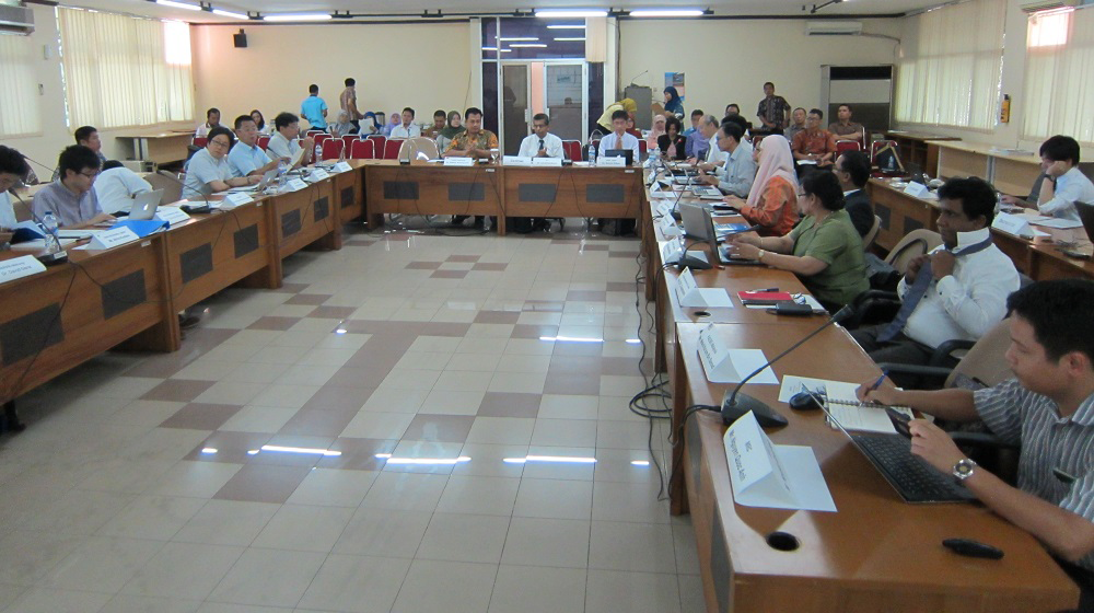
In the mini-workshop, 6 progress reports of on-going prototyping (integrated water resource management, oil palm management, rice crop management) were presented and suggestions/comments were provided by participants. We confirmed current status of six on-going prototyping. The suggestions and comments of on-going prototyping are given below.
After progress reports, two follow-up activities for multi province (regional) rice crop monitoring by using SARs such as ALOS-2 were reported. The executors of VNSC/VAST in Vietnam and ICALRD in Indonesia reported their current results of their activities and expected future works. The participants discussed possible expanded utilization of multiple sensors, standardization of observation/processing/validation method, way of dissemination of mass data, and so on.
During the mini-workshop, contributions to response to volcanic eruption of mountain Sinabung were reported. JAXA showed the analysis result of coherence of SAR interferometry using ALOS-2 under Sentinel-Asia. LAPAN also reported analysis results of satellite data over the volcano supported by International Disaster Charter framework.
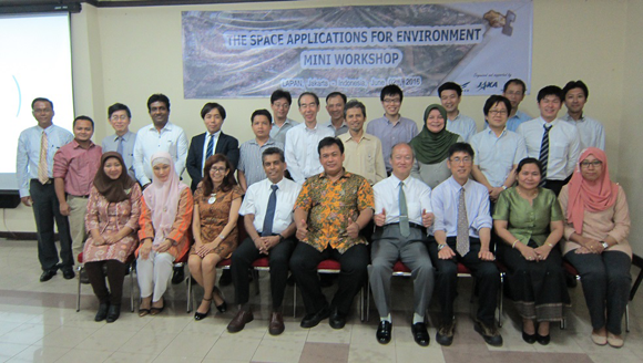
At the end of the mini-workshop, tokens were exchanged between organizers.
Result of the SAFE Mini-Workshop
1. Comments for on-going reports
a. Mekong River Commission (GSMaP for decision support)
- Recommend to share the work progress and future plans within MRC to avoid communication gaps after the new structure planned for July 2016
- Request to do continue collaborating with ICHARM for ground based data and resource sharing for GSMaP calibration
- Should focus to develop a GSMaP calibration method, validate and use for supplement ground based rainfall data in this prototyping
- Suggest to share the calibrated GSMaP data for MRC application areas such as flood forecasting, drought assessment etc. in MRC effectively
b. Malaysia (Efficient Oil Palm Management)
- Request to quantify the benefit of output (GPS techniques for planting) compared to conventional method.
- Yield estimation using PALSAR-2 data may need slope correction
c. Cambodia (Rice Production Estimation)
- The training and flied survey schedule to be prepared by technical supporter with the coordination of DPS
- To check the ALOS-2 observation schedule considering the crop calendar of the Battambang Province
d. Indonesia (Oil Palm Monitoring)
- Need to clarify the expected end user and accommodate their requirements in the expected outcome including the Tax office who showed interest
- Share information with Malaysia Oil Palm prototype executor
- Create standard procedure of mapping and age estimation in the 4 site
e. Sri Lanka (Advanced Flood Forecasting)
- Request to share the accomplishments of ICHARM projects using GSMaP for flood forecasting with RRI and compare GSMaP calibration methods with this prototyping
- Quantify the benefit of GSMaP in flood forecasting and related application such as improvement on lead time to evacuate people, livestock, etc. to minimize flood damage.
- Request to share Sri Lanka flood study results with GSMaP
f. Myanmar (Agricultural Land Management)
- To check the ALOS-2 observation schedule considering the crop calendar
- To discuss with DALMS for coordination to form a team to conduct field work and data analysis, etc.
2. Comments for follow-up activities
a. Vietnam (Mekong Rice Crop)
- Good result of the follow up prototype to expand other areas
- Request to share a method for standardization of the ground observation
- To consider the utilization of cloud computing for future promotion such as SERVIR-Mekong after the SDMS
b. Indonesia (Paddy Crop Monitoring)
- Good result of the follow up prototype to expand other areas
- Request to share a method for standardization of the ground observation
- To consider the utilization of cloud computing for future promotion such as SERVIR-Mekong after the SDMS
- Request ALOS-2 from JAXA
As a result of the workshop, prototyping line-up was updated: