Report of the 7th SAFE Workshop in Ho Chi Minh City, Vietnam
< Last Update: 30 June 2015 >
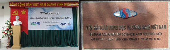
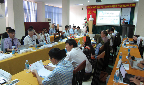
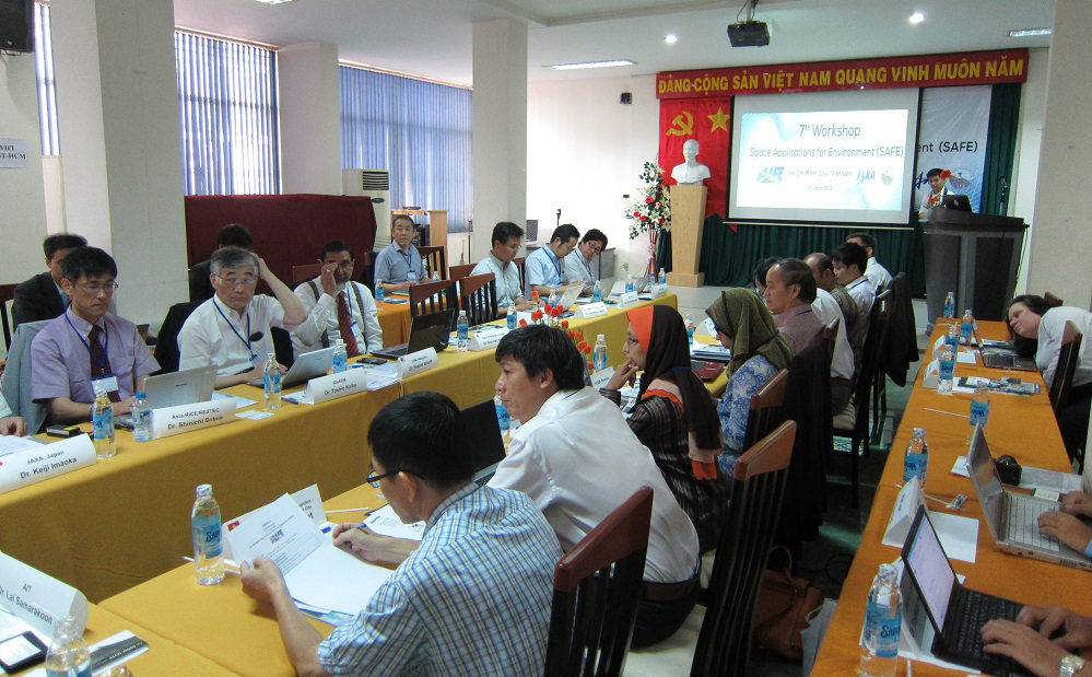
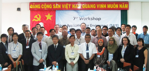
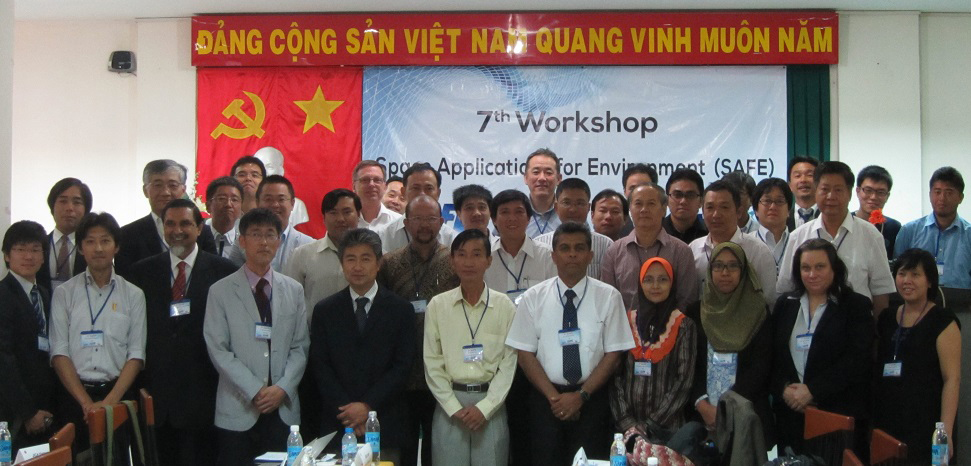
The 7th SAFE Workshop was held at Ho Chi Minh City Institute of Resources Geography (HCMIRG) in Ho Chi Minh City, Vietnam on June 17, 2015. The number of participant was 57 from 31 organizations including international participants from Indonesia, Malaysia, and Japan. The workshop co-hosted by HCMIRG and JAXA was successfully and fruitfully conducted.
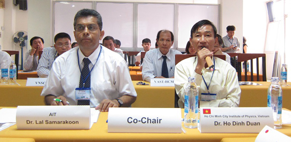
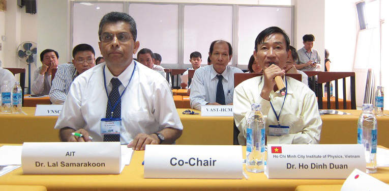
The SAFE workshop was led by co-chairs, Dr. Lal Salamakoon, Director of AIT/GIC and Dr. Ho Dinh Duan, Ho Chi Minh City Institute of Physics, Vietnam. Dr. Duan opened the floor and expressed expectation to fruitful results of the workshop.
At the beginning of the workshop, Dr. Michihiro Koide, JAXA/EORC (SAFE Secretariat) reported the SAFE Workshop in APRSAF-21 outcomes.
In the meeting, 5 progress reports of on-going prototyping were presented and suggestions/comments were provided by participants. We confirmed current status for five on-going prototyping.
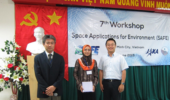
Following the progress reports, Ms. Haryati Abidin, FASSB, Malaysia presented details of their new prototyping proposal titled "Efficient Oil Palm Management Prototyping Using 3D GIS". Review board members fairly reviewed the proposal and the board members decided to approve with revising proposal. SAFE community welcomes the start-up of a new prototype by FASSB.
We had five special reports from local and international stakeholders. Two special reports from local stakeholders were related to climate change. Assoc.Prof. Nguyen Kim Loi, Nong Lam University reported the assessment research of land use change and water discharge in Vietnam using SWAT Model and GIS. Mr. Pham Bach Viet, University Social Science and Humanities - Vietnam National University reported the monitoring changes of natural resources and environment in South Vietnam using EO data. Also, two special reports from international stakeholders were presented. Dr. Hirotada Matsuki, JICA Vietnam office introduced their activities of river basin management using ALOS and stated their expectation for future satellite application. Ms. Kelly Hayden, ESCAP reported their activities of drought monitoring and early warning in Asia and the Pacific. At the end of the session, Dr. Vu Anh Tuan, Vice Director of VNSC introduced current status of their projects: space centers, LOTUSat, and application & research activities. Through this special session, all the participants shared their projects and research activities using remote sensing technology.
During the workshop, SAFE Secretariat proposed future SAFE plan and the participants discussed on the plan. We realized the necessity to consider broad strategy for SAFE target, to increase visibility of SAFE prototyping accomplishments (outreach) and to promote capacity building, etc., and agreed to set up SAFE steering committee based on SAFE review board members and circulate questionnaire about SAFE future plan to SAFE Workshop participants for their reviews to refine the plan. The plan will be submitted to APRSAF Space Applications Working Group (SAWG) through the discussion of SAFE steering committee with SAFE WS participants’ suggestion/comments.
We had one final report from Malaysia. Attendees could confirm their accomplishment and their executers were congratulated on their successful completions. The completed prototyping was expected to move forward to be operational usage.

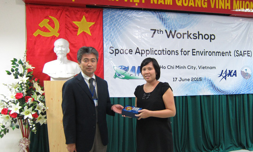
At the end of the workshop, tokens were exchanged among organizers and executers who made final reports.
Result of the SAFE Workshop
1. Review result for new SAFE proposal
a. Malaysia (Oil Palm Management)
Decision:
Approved with revising proposal
Comments / Suggestions:
- Role of RS is not clear. Clearly define RS requirements with GNSS. One option for that to use ALOS2/PALSAR2 to monitor growth up stage of oil palm and identify the missing on unhealthy trees. Agro-meteorological field management can be done with field server system to link with satellite-based product. Consider the cost of very-high resolution imageries.
- Concern about the 3D data. Specifying the DEM which is going to be the most important. Evaluate the accuracy of PRISM data in the plan work for operational plan. Highlight the effectiveness of 3D GIS vs 2D.
- Post Project evaluation of proposed method would be worthwhile for the future similar projects. Please consider how much contribution to oil palm productivity not only how much effective for replanting.
- With long term perspective, to break down two years progress plan to evaluate the improvement of whole re-planting process.
2. Comments for on-going reports
a. Vietnam (Mekong Rice Crop)
- Confirm good progress
- Proceed the research to finish X/C/L comparison using Radarsat-2, CSK and ALOS-2, Sentinel-1 proposed at last APRSAF
- Engage end user involvement
- Promote prototype results sharing among SAFE community, GEOGLAM Asia-RiCE team and other stakeholders including international donors, international organizations, etc.
b. Indonesia (Paddy Crop Monitoring)
- Confirm good progress
- Proceed the research with Java, south Kalimantan to finish X/C/L comparison using Radarsat-2, TSX and ALOS-2, Sentinel-1 proposed at last APRSAF
- Promote prototype results sharing among SAFE community, GEOGLAM Asia-RiCE team and other stakeholders including international donors, international organizations, etc.
c. Vietnam (Coastal erosion)
- Confirm good progress
- To have a stakeholder meeting before APRSAF
- To hold a training before conclusion
d. Vietnam (Flood forecasting)
- Confirm good progress
- Need to tune up IFAS parameters with in-situ data
- JAXA plans to improve GSMaP_NRT with data latency from 4 hours to 1.5 hours elapsed within 1.5 hours delay
e. Mekong River Commission (GSMaP for decision support)
- To have approval by MRC member states to mobilize SAFE prototyping with supporting SAFE secretariat.
As a result of the workshop, prototyping line-up was updated: