| 9:30 Registration Open (Welcome coffee) |
| 9:30-10:00 |
Pre-Review Board Meeting(Closed)
- Self introduction
- Explaining situation of applications (SAFE secretariat, 5min)
- Sharing review point for each new proposals, etc.
|
| 10:00-18:00 SAFE Workshop |
| 10:00-10:30 |
Opening session
- Opening Remark (Mr. Toru Fukuda Director EORC/JAXA) (5M)
- Introductions by all participants (10M)
- Agenda adoption (5M)
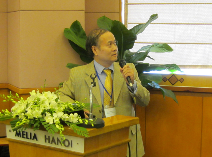
Mr. Toru Fukuda, Director EORC/JAXA
|
| 10:20-10:30 |
Document download (PDF)
- Report of the 5th SAFE Workshop outcomes (SAFE secretariat)
Mr. Toru Fukuda, Director EORC/JAXA
|
| 10:30-12:00 |
Proposal of new prototyping 1
(30mins each, including 10mins Q&A/Discussion) |
| 10:30-11:00 |
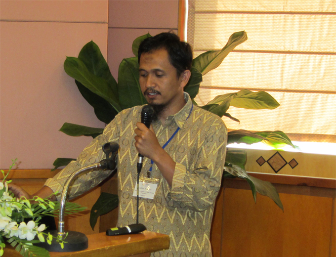
- ASSESSMENT AND EVALUATION OF EROSION AND SEDIMENTATION ON THE COAST FROM HAI PHONG TO THANH HOA PROVINCE, IN Vietnam (Dr. Nguyen Tanh Hung, Deputy Director, KLORCE, VAWR)
Document download (PDF)
Dr. Nguyen Tanh Hung, Deputy Director
KLORCE, VAWR
|
| 11:00-11:30 |
- Utilizing satellite data, numerical rainfall forecasts, combining with ground observations in flood forecasting for the Thai Binh river system (Dr. Dang Ngoc Tinh, Division Chief, NHMS/MONRE, NCHMF)
Document download (PDF)
Dr. Dang Ngoc Tinh, Division Chief
NHMS/MONRE, NCHMF
|
| 11:30-12:00 |
- Development of methodology for glacier and lake monitoring system to evaluate environmental changes on the base of Remote Sensing and GIS- technologies (Dr. Eleonora Semakova, Ulugh Beg Astronomical Institute of the Uzbek Academy of Sciences (AI), the Department of Applied Space Technologies)
Document download (PDF)
Dr. Eleonora Semakova
Ulugh Beg Astronomical Institute of the Uzbek Academy of Sciences (AI), the Department of Applied Space Technologies)
|
| 12:00-13:30 Lunch Break |
| 13:30-14:00 |
Proposal of new prototyping 2
(30mins each, including 10mins Q&A/Discussion)
|
| 13:30-14:00 |
- Spatial and Temporal Changes of "Trees Outside Forest" sources in Upper Mahaweli Catchment in Sri Lanka: Determinants and Vulnerability assessment, (Mrs. H.M.B.S Hearath, Senior Lecturer/ Department of Geography, University of Sri Jayawardhenapura)
Document download (PDF)
Mrs. H.M.B.S Hearath, Senior Lecturer
Department of Geography, University of Sri Jayawardhenapura
|
| 14:00-15:00 |
Progress Report of On-going prototyping 1
(30mins each, including 10mins Q&A/Discussion) |
| 14:00-14:20 |
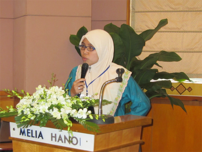
- Assessment of drought impact on rice production in Indonesia by satellite remote sensing and dissemination with web-GIS (Dr. Rizatus Shofiyati, ICALRD, Indonesia)
Document download (PDF)
Dr. Rizatus Shofiyati
ICALRD, Indonesia
|
| 14:20-14:40 |
- Water and Food Security under the Climate Change (Dr. So Im Monichoth, MOWRAM, Cambodia)
Document download (PDF)
Dr. So Im Monichoth
MOWRAM, Cambodia
|
| 14:40-15:00 |
- Investigation of sedimentation process and stability of the area around the cross-dams in Meghna estuary (Mr. Rokibul Hasan, LGED, Bangladesh)
Document download (PDF)
Mr. Rokibul Hasan
LGED, Bangladesh
|
| 15:00-15:40 Review Board Meeting (Closed) / Coffee Break |
| 15:40-17:00 |
Progress Report of On-going prototyping 2
(20mins each, including 5mins Q&A/Discussion) |
| 15:40-16:00 |
- The assessment of Mangrove Forest Carbon Stock Monitoring of Indonesia using Remote Sensing Approach (Dr. Gathot Winarso, LAPAN, Indonesia)
Document download (PDF)
Dr. Gathot Winarso
LAPAN, Indonesia
|
| 16:00-16:20 |
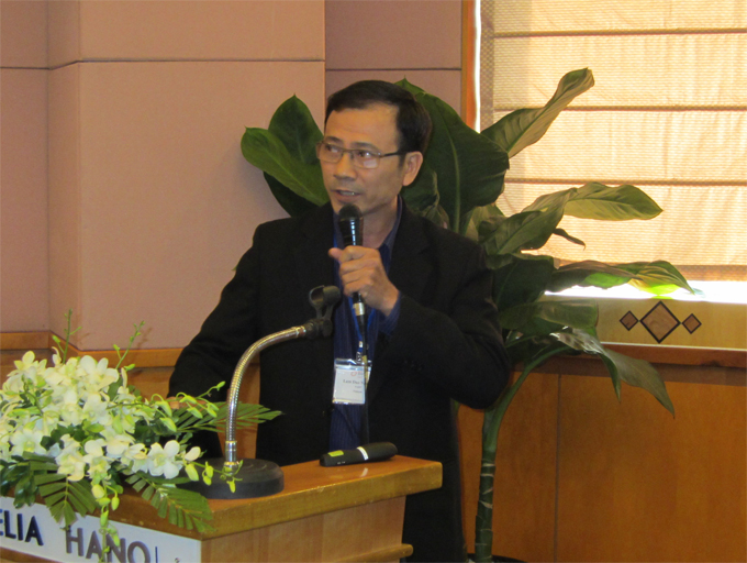
- Rice Crop Monitoring in the Mekong Delta, Vietnam (Lam Dao Nguyen, HCMIRG, Vietnam)
Document download (PDF)
Dr. Lam Dao Nguyen
HCMIRG, Vietnam
|
| 16:20-16:40 |
- SAR Technology Application for Paddy Crop Monitoring in Central Area of Paddy Production, in Indonesia (Dr. Wahyunto, ICALRD, Indonesia)
Document download (PDF)
Dr. Wahyunto
ICALRD, Indonesia
|
| 16:40-17:00 |
- Monitoring of Agricultural Land Abandonment Using Remote Sensing (Dr. Farrah Melissa Muharam, UPM, Malaysia)
Document download (PDF)
Dr. Farrah Melissa Muharam
UPM, Malaysia
|
| 15:40-17:00 |
Final report of Prototypes expect completion
(30mins each, including 10mins Q&A/Discussion) |
| nbsp; |
- Mapping and Detecting Wetlands in River Basin (Mr. Ajith Gunawardena, CEA, Sri Lanka)
Document download (PDF)
Mr. Ajith Gunawardena
EA, Sri Lanka
|
| 17:30-18:00 |
Wrap-up
- Summarizing comments and discussion for prototyping
- On-going prototyping
- Completing prototyping
Document download (PDF)
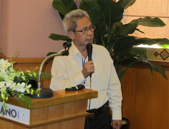
Dr. Lal Samarakoon
AIT
Report of Review board meeting and decision taken for approval of new proposal
Group photo
Document download (PDF)
|
18:00 Adjourn |


