Report of SAFE Executive Board Meeting, June 2023
< Last Update: Jul. 25, 2023 >
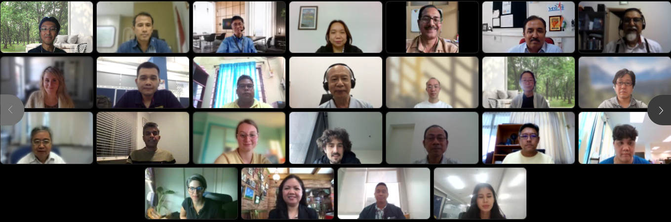
The APRSAF/SAFE Executive Board Meeting was held online on June 21, 2023. It was co-chaired by Dr. Rajeev Jaiswal (Indian Space Research Organisation (ISRO)) and Dr. Shinichi Sobue (the Japan Aerospace Exploration Agency (JAXA)). The main topic of meeting was discussing on progress and future plan of three SAFE projects, SAFE Agromet Project, SAFE Rice Monitoring Project, and SAFE CH4Rice (Assessment of Methane Emission from Rice Paddies and Water Management) Project. Also, overview of the next APRSAF-29 Jakarta meeting to be held in September was announced in the meeting. 35 executive officials from Asia-Pacific region joined the meeting.
Result of the APRSAF/SAFE Executive Board Meeting
1. Agromet Project
- Summary
- Confirmed the continuous use of agromet data provided by ISRO and JAXA in the AFSIS RGO reports. Further, recent addition of precipitation data of ISRO’ and LST from JAXA’s have been started to use in RGO reports.
- Successfully conducted number of capacity building training programs targeting sustainability within AFSIS agencies to effective use of Agromet data.
- Declared the integration of JAXA’s JASMIN in JASMAI (JAPAN’s Satellite Monitoring system of Agrometeorological Information) operated by Ministry of Agriculture of Japan; RGO reporting started to utilize JASMAI’s agromet data.
- Confirmed the expansion of AFSIS RGO reporting coverage to 9 countries from October 2023 by adding Brunei and Malaysia. Also, late next year, “maize” will be added as a new target crop.
- Discussion and Future Plan
- Confirmed the satisfactory use of project results in the AFSIS monthly RGO report through the successful cooperation with AFSIS.
- Agreed to conclude the Agromet project (at SAFE EBM next year TBD) with the confirmation of AFSIS about the sustainable use of project results.
- Continue searching agencies/frameworks for extending the use of agromet information, particularly in South Asia. A possibility is the use of Agromet data in BIMSTEC Data Cube as follow up of ISRO’s CEOS 2020 chair initiative.
- Maize generally doesn’t grow in large areas across Asia; evapotranspiration data would be useful because irrigation is important for maize. This will continue to discuss at APRSAF-29.
2. Rice Monitoring Project
- Summary
- Confirmed the good progress of the project conducted under multilateral cooperation led by GISTDA with ISRO and JAXA etc.
- Confirmed the cooperation with AFSIS to generate training datasets for rice mapping using machine learning, and the extension of these activities to ASEAN region under AFSIS’s new project to improve agricultural statistics using EO data.
- Confirmed the preparation of a proposal to JAIF (Japan-ASEAN Integration Fund) entitled ”Improvement of Paddy Rice Area Statistics and Damage Assessment using Earth Observation Satellite for ASEAN” led by GISTDA, the Proponent Agency (Planned to submit to ASEAN secretariat before August 2023).
- Continue to provide latest ALOS-2 data on regular basis to the VEDAS.
- Confirmed that the RF-AutoML (ISRO) provided higher accuracy over test sites in southern India using ALOS-2 ScanSAR data.
- Sharing the progress of scripting environment on VEDAS.
- Discussion and Future Plan
- In collaboration with AFSIS’s new project, it is expected to expand training program on rice monitoring using ALOS-2 with INAHOR, and promote project results with data analysis platforms (GEE, VEDAS etc.), so that they can be utilized in ASEAN and other regions.
- Prepare and submit the JAIF proposal on “Improvement of Paddy Rice Area Statistics and Damage Assessment using Earth Observation Satellite for ASEAN (Proponent agency; GISTDA)” to ASEAN secretariat.
- Continue to implement cross-comparison related studies and facilitate data/tool sharing on data platforms such as GEE and VEDAS; agreed to conduct cross-comparison of rice maps developed by ISRO, JAXA and GISTDA over Thailand.
- Continue to discuss and collaborate with Bangladesh to use field data to compare and validate rice maps.
- ISRO will compare C-band SAR from RISAT-1A, Sentinel-1 and ALOS-2 SAR and also Dual-frequency SAR combination over 1 or 2 test sites in India, and develop a standardized methodology to extend other Asian countries, if ground truth polygons are available.
3. CH4Rice Project
- Summary
- Confirmed the work plan of the project conducted under multilateral cooperation led by VNSC.
- Confirmed the preparation of study sites by participating agencies.
- Discussion and Future Plan
- Prepare and coordinate in-situ water-level measurements at each study site, possibly observing and recording water level changes throughout the growing season.
- Prepare data sharing for ALOS-2 PALSAR-2 (full-pol) mode observation for Study Sites.
- Explore the possibility of installing automatic water-level measurement equipment (Bangladesh, BRIN, GISTDA, PhilSA, VNSC etc.). Note, that each country has different protocol to use radio wave.
- Confirmed the importance of temperature and phenology to estimate methane emission from paddy fields.
4. AOB
-
- Sharing the plan to have a joint session with Space Industry Workshop to enhance space technology to promote social implementation in cooperation with private sector at SAWG, APRSAF-29.
- APRSAF-29 will be held in Central Jakarta. BRIN Headquarters (BJ Habibie Building)
- ESCAP ICC Regional SDGs: Twenty-seventh session of the Intergovernmental Consultative Committee (ICC-27) on the Regional Space Applications Programme for Sustainable Development (RESAP), 25-27 July 2023; By Invitation only.