About AMSR
AMSR-E
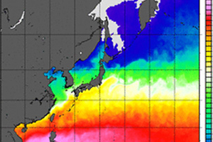
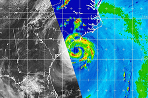
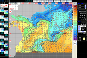
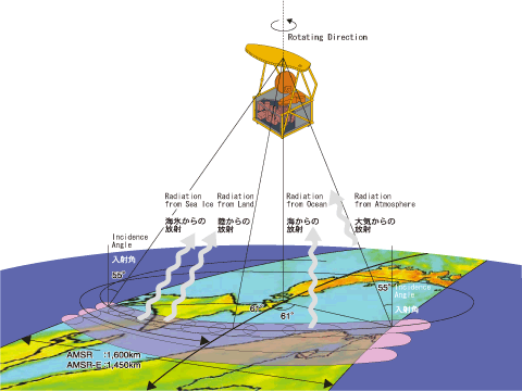
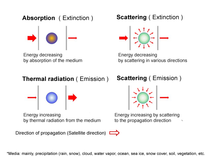
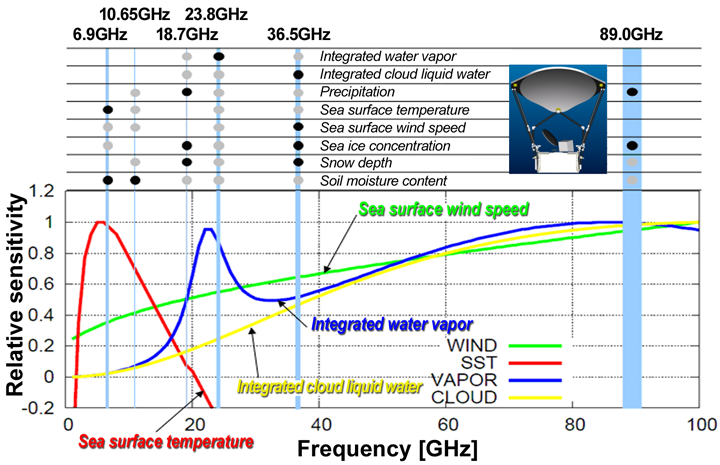
The Advanced Microwave Scanning Radiometer (AMSR) measures weak microwaves emitted from natural sources such as the earth's surface and atmosphere.
The development of microwave radiometers in Japan began in the 1970s. The first microwave radiometer was the Microwave Scanning Radiometer (MSR). It was launched in February 1987 aboard the ocean observing satellite MOS-1. Momo-1 ceased operations in November 1995 after observing data near Japan to confirm the sensor's functionality. In February 1990, its successor, MOS-1b, which had the same performance as MOS-1, was also launched.
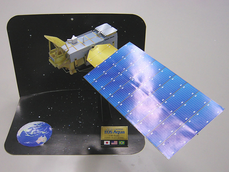
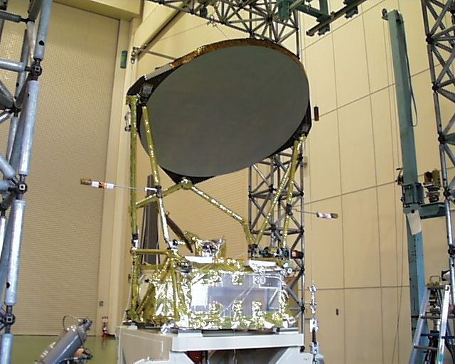
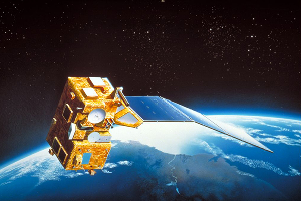
Later, in 2002, two high-performance microwave radiometers were developed. One is AMSR-E on NASA's Aqua satellite (launched in May 2002), and the other is AMSR on JAXA's ADEOS-II satellite (launched in December 2002). The photo shows the exterior of AMSR-E at the test site.
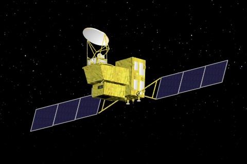
The Advanced Microwave Scanning Radiometer 2 (AMSR2) onboard GCOM-W and the Advanced Microwave Scanning Radiometer 3 (AMSR3) onboard GOSAT-GW are currently in operation.
Satellites in operation or under development
-
 The Global Observing SATellite for Greenhouse gases and Water cycle
GOSAT-GW / AMSR3
The Advanced Microwave Scanning Radiometer 3 (AMSR3) is the JAXA satellite/sensor currently under development.
see more -
 About Global Change Observation Mission - Water
"SHIZUKU" (GCOM-W)
Observing All Environmental Changes on Earth for Present and Future Generations
see more
Satellites that have completed operations
-
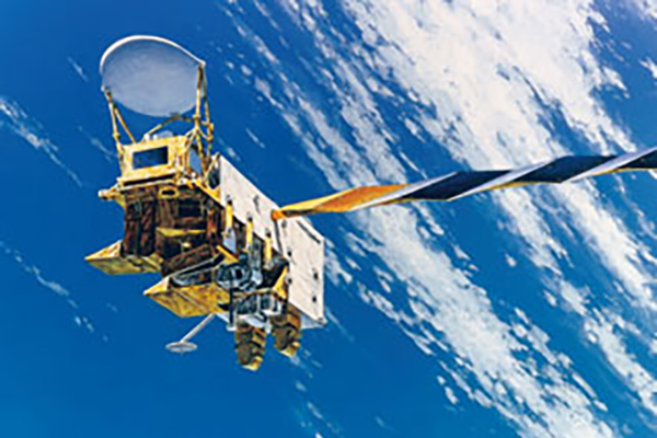 "Aqua" Earth Observation Satellite
AMSR-E
An Earth-observation satellite to contribute to the understanding of the Earth's water cycle
see more -
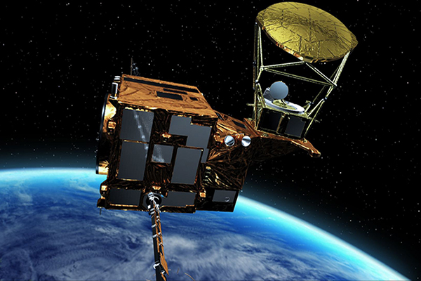
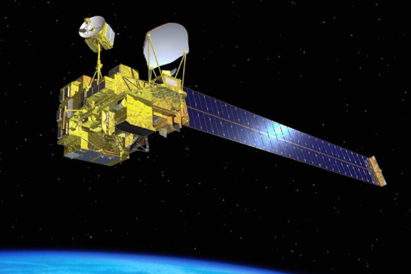 Advanced Earth Observation Satellite-II "Midori II"
ADEOS-II
The successor of the Advanced Earth Observing Satellite "Midori"(ADEOS) launched in 1996, is also known as Midori II.
see more -
 Marine Observation Satellite-1 "Momo-1" (MOS-1)
MOS-1/MSR, MOS-1b/MSR
It was developed as the first Earth observation satellite using Japan's own technology, in response to the need for effective use of Earth resources and environmental conservation.
see more