- Top
- Materials
-
Principle
-
August 1-14, 2022
Heavy rain -
August 1-14, 2022
Heavy rain -
August 1-7, 2022
Heavy rain -
August 1-7, 2022
Heavy rain -
August 28 - September 7, 2022
Typhoon -
August 28 - September 7, 2022
Typhoon -
July 12, 2022
Heavy rain in Saitama observed by GPM/DPR (Jul 12, 2022)
Heavy rain -
Principle
-
Principle
-
December 13, 2021 - December 20, 2021
Typhoon -
December 13, 2021 - December 20, 2021
Typhoon -
December 15, 2021
Typhoon -
July 14, 2021
Heavy rain -
July 2, 2021
Heavy rain -
October 6, 2020 - November 6, 2020
Typhoon -
July 23, 2020
Heavy rain -
July 2-9, 2020
Heavy rain -
July 2-9, 2020
Heavy rain -
August 28, 2019
Heavy rain -
July 4, 2019
Heavy rain -
July 9, 2018
Heavy rain -
January, 2018 - August, 2018
Typhoon -
July 1 to 8, 2018
Typhoon -
November 20, 2017 - December 20, 2017
Heavy rain -
November 20, 2017 - December 20, 2017
Heavy rain -
September 17, 2017
Typhoon -
September 12, 2017 - September 15, 2017
Typhoon -
September 12, 2017 - September 15, 2017
Heavy rain -
July 1, 2017 - July 10, 2017
Heavy rain -
July 1, 2017 - July 10, 2017
Heavy rain -
December 5, 2016
Heavy rain -
October 12, 2016 - October 21, 2016
Typhoon -
October 12, 2016 - October 21, 2016
Typhoon -
June 12, 2017 - June 15, 2017
Heavy rain -
At 13Z on June 20, 2016
Heavy rain -
At 9Z on June 20, 2016
Heavy rain -
At 18Z on January 8,2017
Heavy rain -
At 6Z on February 11, 2017
Snow -
At 0Z on September 19, 2016
Heavy rain -
At 0Z on September 19, 2016
Typhoon -
September 19, 2016
Typhoon -
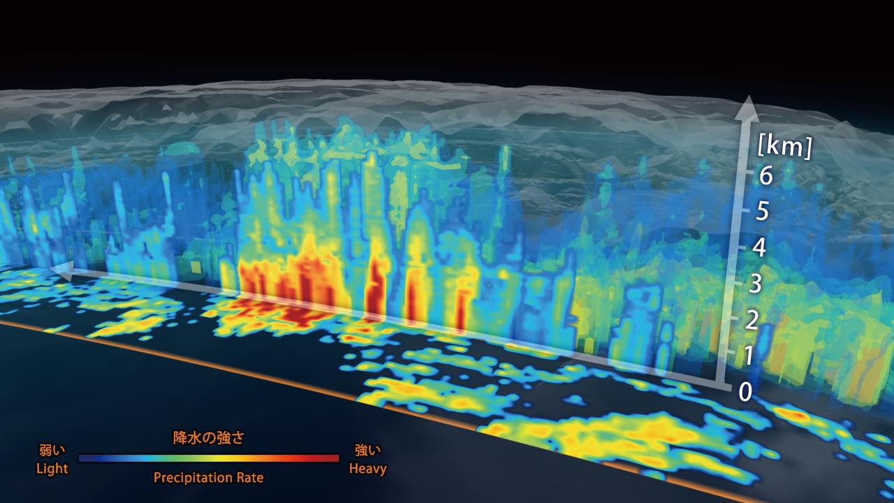
25th March, 2014
3D view inside an extra-tropical cyclone obserbed by GPM's Dual-frequency Precipitation Radar
First Images -
25th March, 2014
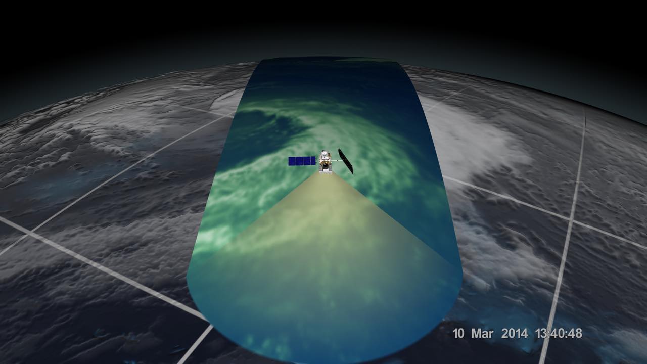
NASA and the Japan Aerospace Exploration Agency (JAXA) have released the first images captured by their newest Earth-observing satellite, the Global Precipitation Measurement (GPM) Core Observatory, which launched into space Feb. 27.
NASAFirst Images -
25th March, 2014
On March 10, the Core Observatory passed over an extra-tropical cyclone about 1,055 miles (1,700 kilometers) due east of Japan's Honshu Island. Satellite data shows the full range of precipitation in the storm.
NASAFirst Images -
9th April, 2014
Cyclone "ITA" approaching the Northeastern Australia. Three dimensional observation of the cyclone by the DPR at 19 (UTC) on April 10, 2014, and animation by the GPM Global Rainfall
Typhoon -
June, 2014
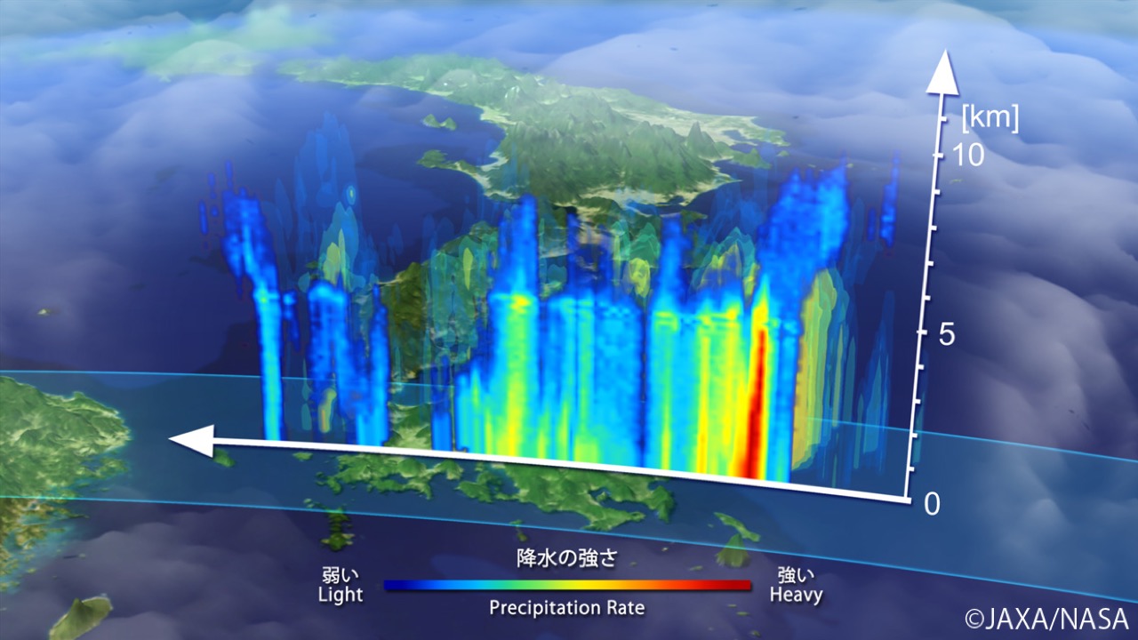
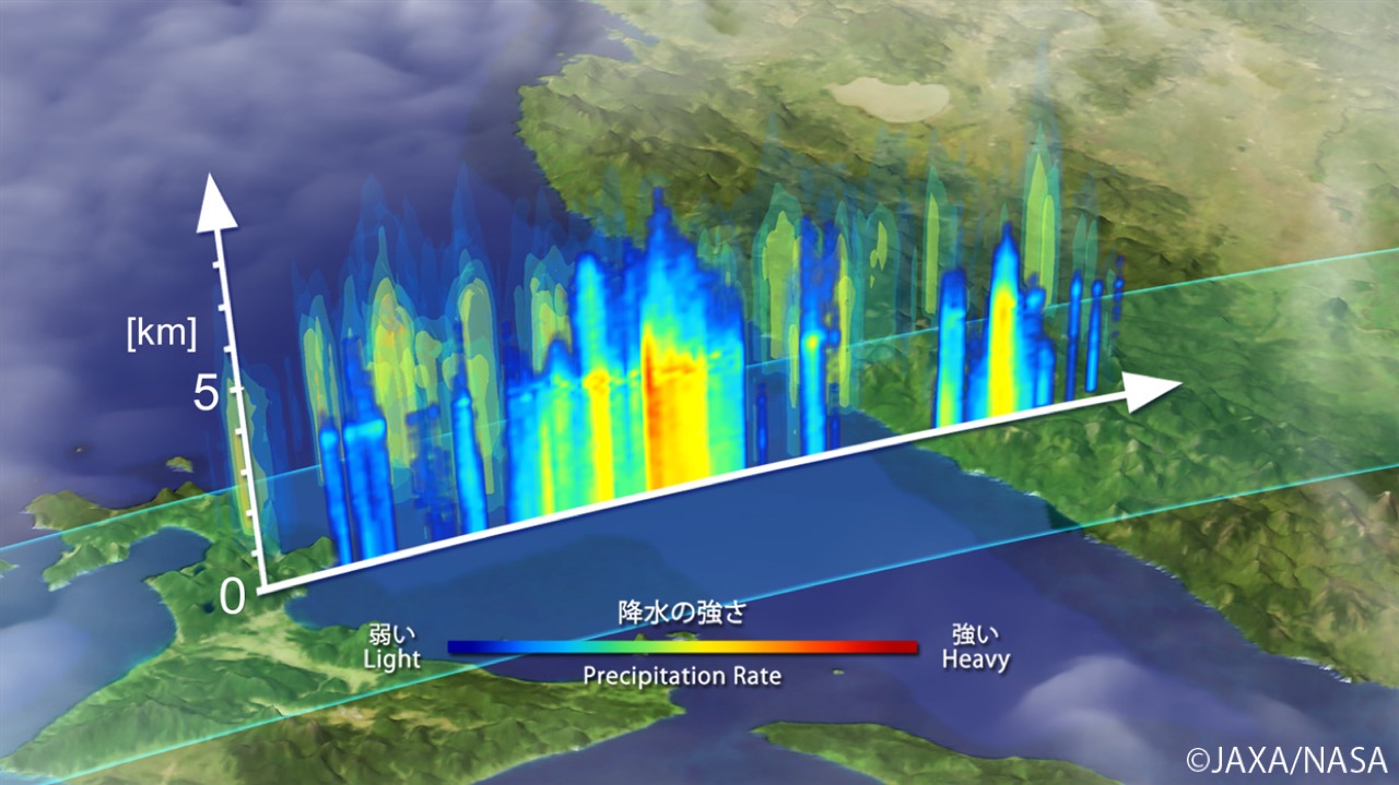
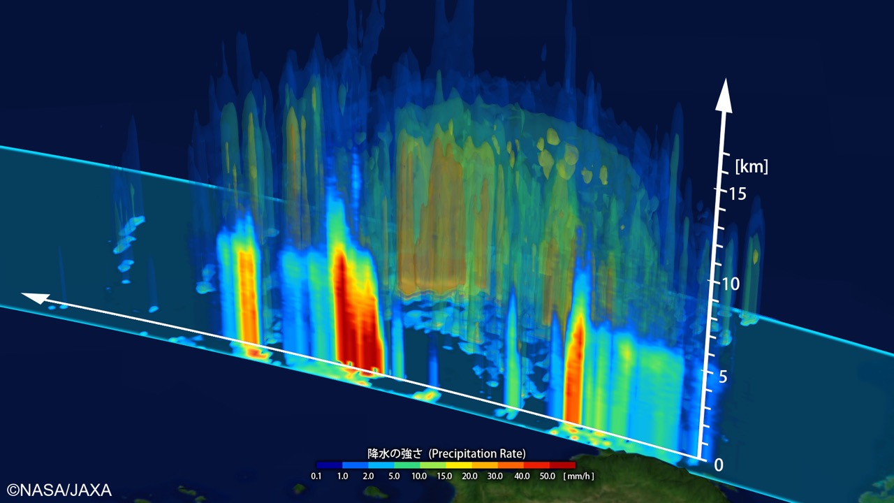
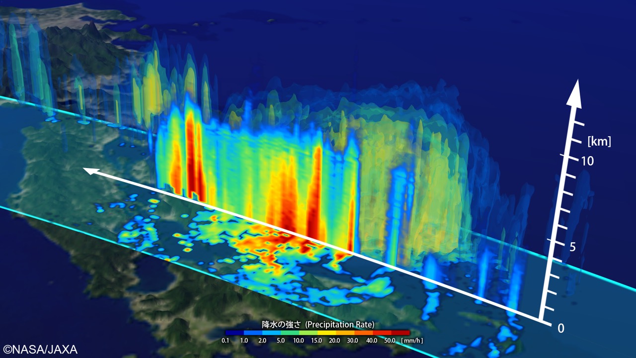
Vertical cross section of three dimensional DPR rain rate along the white arrow inside the upper left image, viewing from the southwest side of Kyushu Island
Heavy rain -
June, 2014
Vertical cross section of three dimensional DPR rain rate along the white arrow inside the upper left image, viewing from the southeast side of Okinawa Island
Heavy rain -
June, 2014
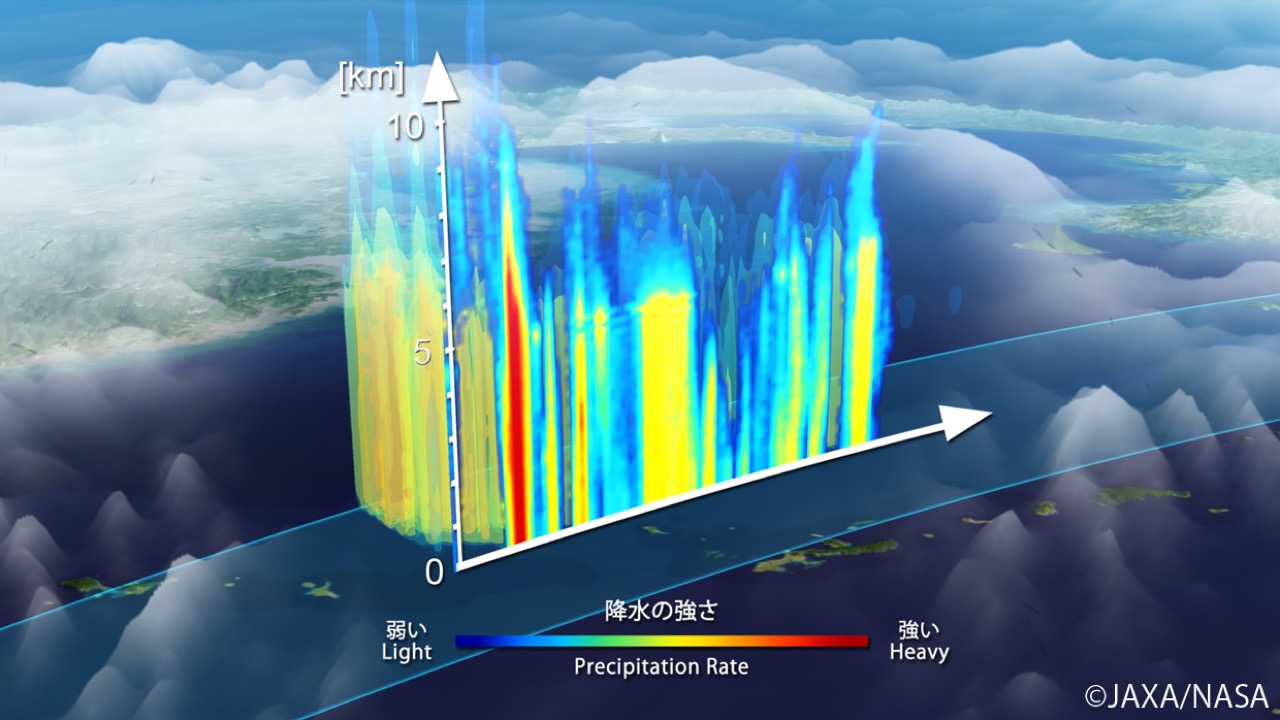
Vertical cross section of three dimensional DPR rain rate along the white arrow inside the upper left image, viewing from the northeast side of Hokkaido Island
Heavy rain -
June, 2014
Heavy rain -
9th August, 2014
Heavy rain -
September, 2014
Near surface precipitation and storm track of Typhoon No.10 captured by DPR at 15Z on July 21, 2014. (Lower) Same as upper panel, but three dimensional precipitation structure.
Heavy rain -
September, 2014
Three dimensional precipitation structures of Typhoon No.11 "HALONG" captured by DPR at 10Z on August 9, 2014.
Heavy rain -
2th December, 2014
Snow -
16th December, 2014
Snow -
18th January 2016
By an extratropical cyclone, widely spread snowfall was observed over the Kanto-Koshinetsu area of the Japan on 17th-18th January 2016. Around the overpass of the GPM Core Observatory (0:30Z 18th Jan.), the snowfall changed to the rainfall.
Snow -
18th January 2016
By an extratropical cyclone, widely spread snowfall was observed over the Kanto-Koshinetsu area of the Japan on 17th-18th January 2016. Around the overpass of the GPM Core Observatory (0:30Z 18th Jan.), the snowfall changed to the rainfall.
Snow -
18th January 2016
By an extratropical cyclone, widely spread snowfall was observed over the Kanto-Koshinetsu area of the Japan on 17th-18th January 2016. Around the overpass of the GPM Core Observatory (0:30Z 18th Jan.), the snowfall changed to the rainfall.
Snow -
18th January 2016
By an extratropical cyclone, widely spread snowfall was observed over the Kanto-Koshinetsu area of the Japan on 17th-18th January 2016. Around the overpass of the GPM Core Observatory (0:30Z 18th Jan.), the snowfall changed to the rainfall.
Snow -
Principle
-
Principle
-
Principle
-
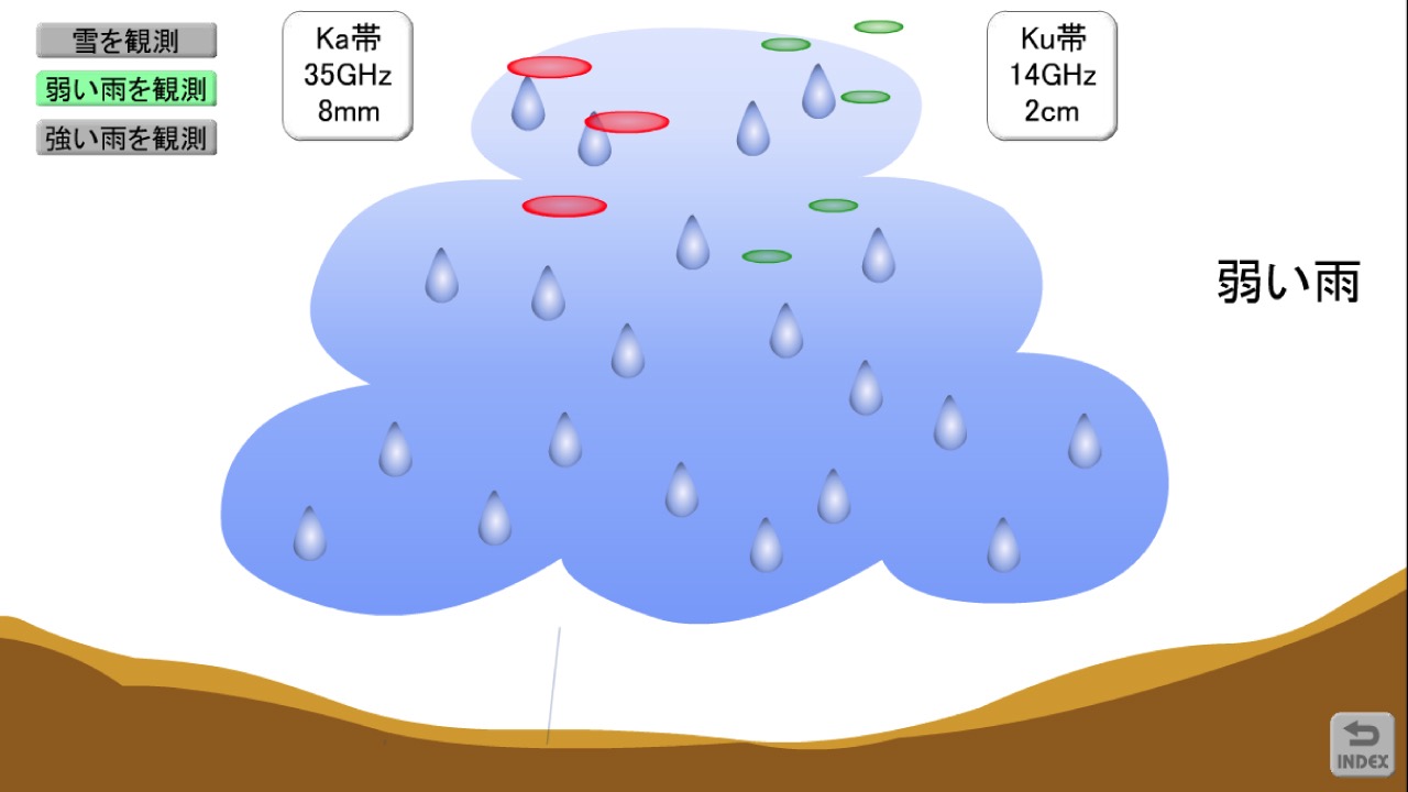
Classification of rain, snow, and ice by Dual-frequency Precipitation Radar
Principle -
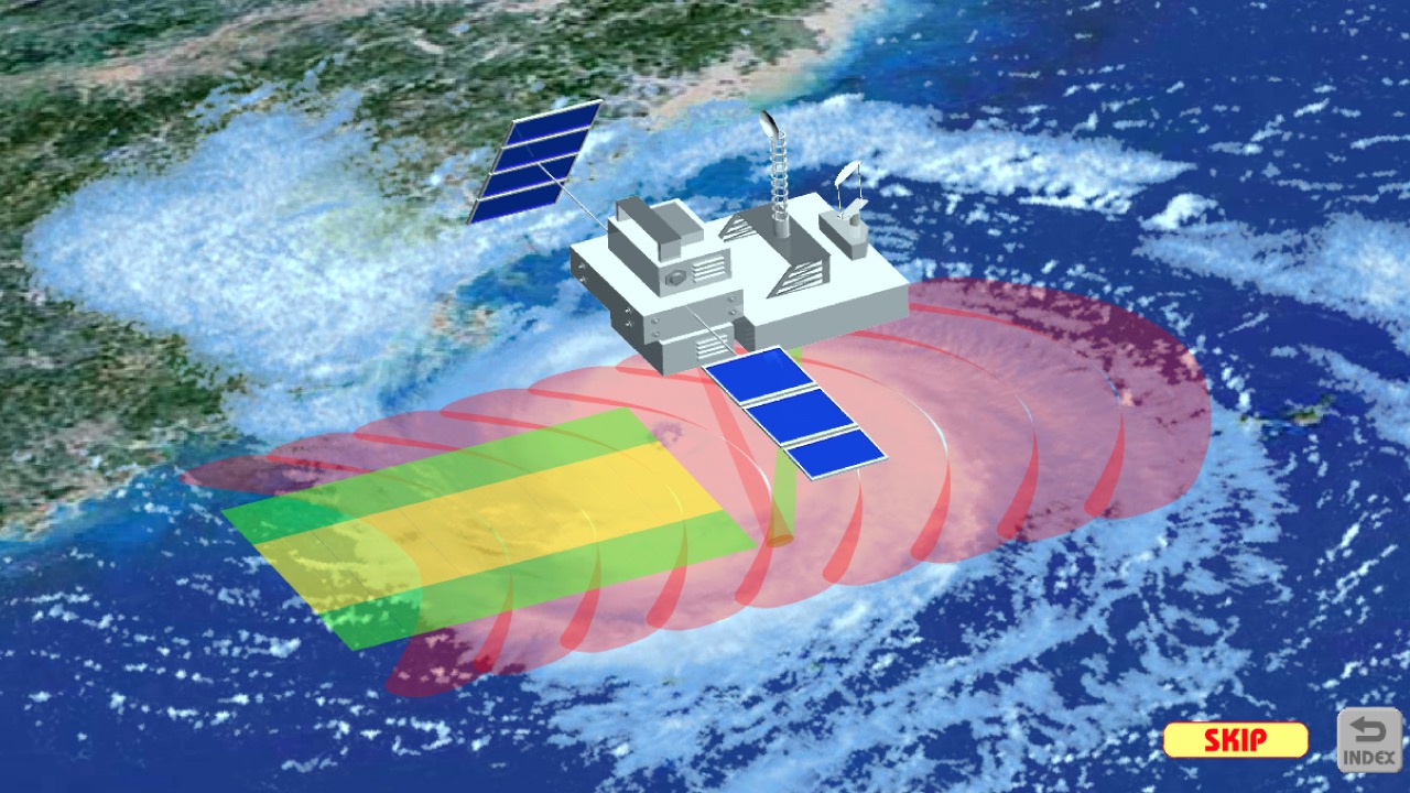
Rainfall observation of typhoon
Principle -
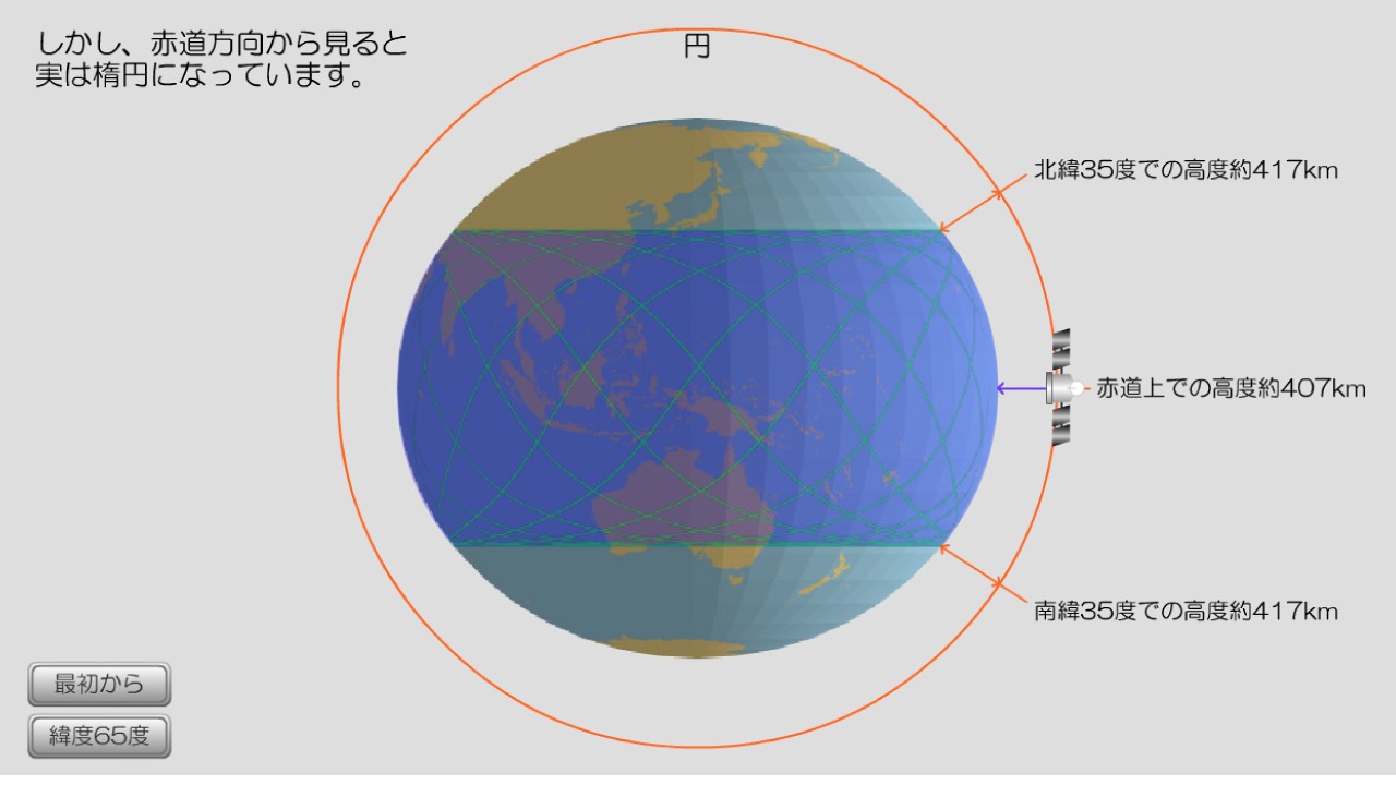
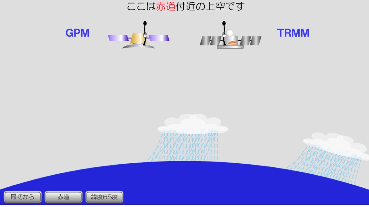
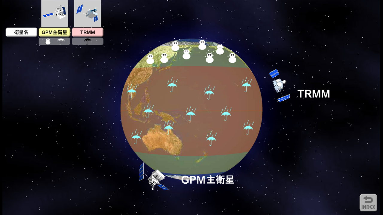
Distance from the earth of a TRMM satellite and the GPM satellite
Principle -
Differences in precipitation observation by the TRMM satellite and GPM core satellite
Principle -
Principle
-
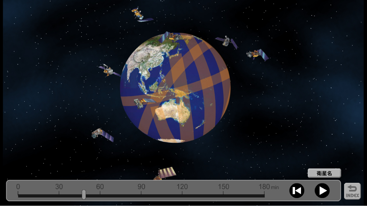
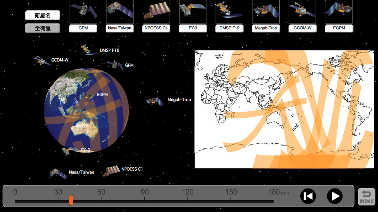
Space satellites who participate in GPM main satellite
Principle -
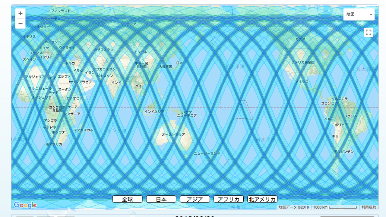
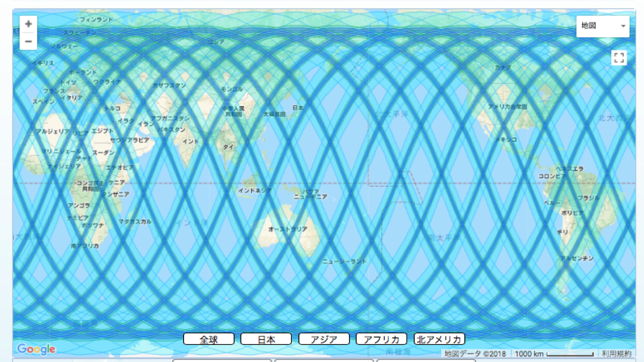
All over precipitation observation of the entire earth
Principle -
Development from TRMM satellite to GPM main satellite
Principle -

Save The Frog Gentlemen
JAXA official app has been released! This is a simple tap game for everybody. Let's save the frog gentlemen from sudden rain. DPR instrument installed on GPM core satellite informs you of the rain strength. GPM is the joint mission between NASA and JAXA.
-
Orbit Search
Monitoring -
Orbit Prediction
Monitoring -
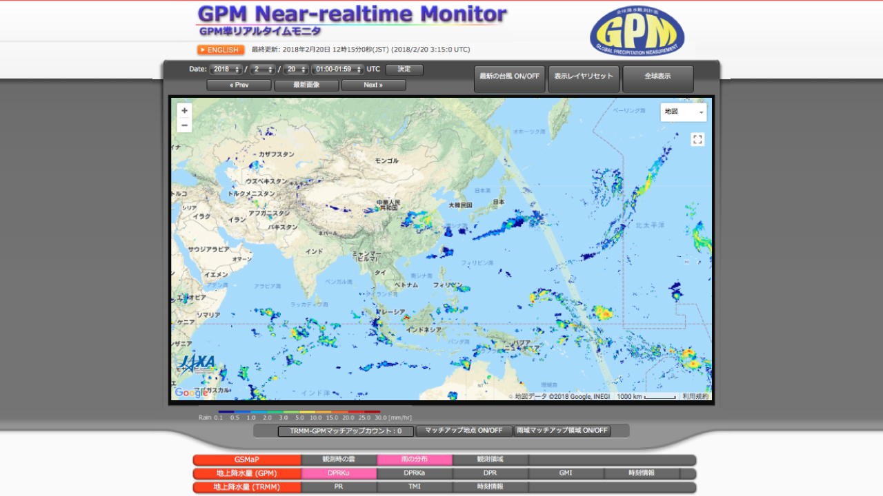
Near-Real
Monitoring -
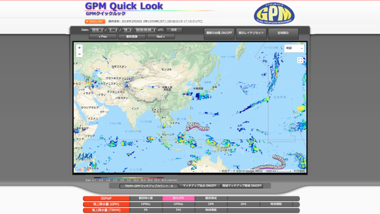
Standard
Monitoring -
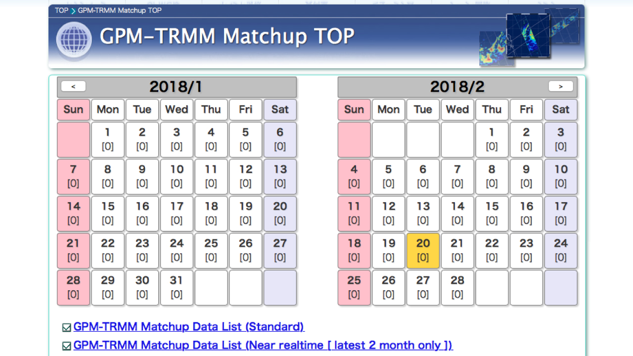
GPM-TRMM Matchup
Monitoring -
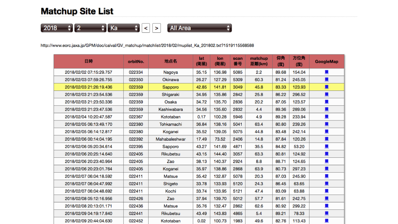
GPM-GV matchup
The GPM-TRMM Matchup Data List aims to list points where observation time of the GPM Core Observatory and TRMM satellite matches, and to compare detected precipitations in match-up areas.
Monitoring


