| |
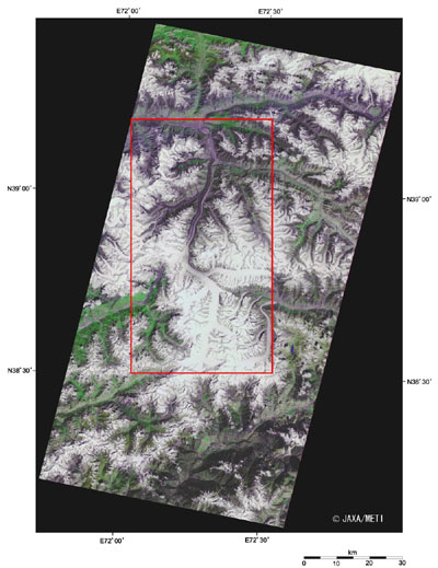 |
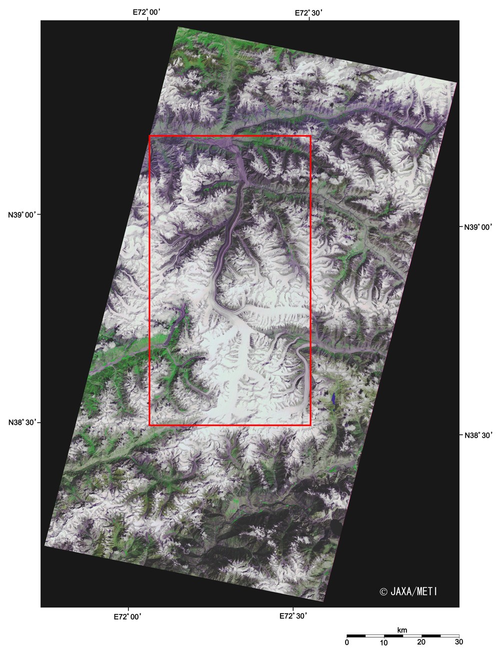
| Fig. 1 Fedchenko Glacier |
The Pamir Mountains in eastern Tajikistan are called the roof of the world and have many glaciers. Fedchenko Glacier, the greatest one of the world outside the polar regions, is 77 km long and 1,700 m to 3,100 m wide, with a surface area of 992 km2 and more ice than 500 m thick.
This glacier originates from the northwestern slope of the Revolutsiya Peak (Revolution Peak, 6,974 m above sea level) 6,200 m above sea level, flows north at 67 cm per day, merges with branch glaciers on its way, and ends at 2,900 m above sea level near the border with Kyrgyzstan. The melted water flows into the Balandkiik River, which joins the large Amu-Dar'ya River in Central Asia, and finally pours into the Aral Sea.
The glacier is named after the Russian explorer Alexei Pavlovich Fedchenko (1844 to 1873), although it was found in 1878 after his death.
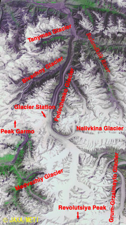 |
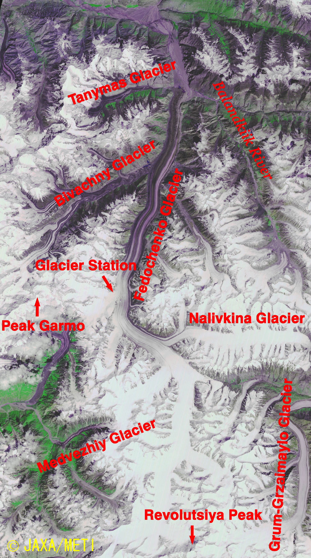
Fig. 2 Expanded Image
Fedchenko Glacier(kmz, 8.76MB, Low Resolution) as seen on Google Earth. |
The Fedchenko Glacier, which extends north and south in the center of the figure, appears white on the southern side (upstream side) and dark-purple on the northern side (downstream side). Since the upstream glacier covered with snow and ice reflects sunlight quite strongly, it looks pure white, whereas the surface of the downstream glacier is covered with rock debris, so it looks dark-purple as it reflects sun light rather weakly.
The Fedchenko Glacier Observatory (38.83°N, 72.22°E, 4,156 m above sea level) is located in the western Pamir, and Murgab Meteorological Station (38.17°N, 73.97°E, 3,576 m above sea level) is in the eastern Pamir (outside the figure). The stations provide important data about the climate change and for the environmental analysis in Central Asia. Many glaciers in the Pamir Mountains as well as the Fedchenko Glacier are melting in recent years, and the influence on water resources of that area may become a serious concern.
Explanation of the Images:
Figs. 1 and 2
| Satellite: |
Japanese Earth Resources Satellite-1 (JERS-1) (Fuyo-1) |
| Sensor: |
Visible and Near Infrared Radiometer (VNIR) |
| Date: |
August 20, 1993 |
| Ground resolution |
18.3 m x 24.2 m |
| Map Projection: |
Universal Transversal Mercator (UTM) |
|
The composite figures were produced by assigning red to the visible channel (630 to 690 nm), green to the near-infrared channel (760 to 860 nm), and blue to the visible channel (520 to 600 nm). The resulting figures have natural coloring with a slightly emphasized green for vegetation and light purple for snow and ice appearing as if seen by the naked eye. In these images, snow and ice are white or light purple, forests are dark green, grasslands are green-yellow, and glacier lakes are dark purple. Areas with no data are black.
|
|
 |
Related Sites:
 Nanga Parbat, Himalaya: Eight-Thousand-Meter Peaks and Glaciers (Part 5) Nanga Parbat, Himalaya: Eight-Thousand-Meter Peaks and Glaciers (Part 5)
K2, Broad Peak, Gasherbrum I and Gasherbrum II: Eight-Thousand-Meter Peaks and Glaciers (Part 4)
Dhaulagiri, Himalayas: Eight-Thousand-Meter Peak and Glaciers (Part 3)
Cho Oyu, Himalayas: Eight-Thousand-Meter Peak and Glaciers
Eight-Thousand-Meter Peak and Glaciers: Shishapangma, Himalayas
Land, Seen from Space
Appendix:
Since the Pamir Mountains were the territory of the former Soviet Union, the mountain peaks are named in connection with the former Soviet Union, such as Communism Peak (7,495 m above sea level), the highest peak in the former Soviet Union; Lenin Peak (7,134 m above sea level), the second highest in the former Soviet Union; and the Academy of Sciences Range. Communism Peak was called Stalin Peak from 1932 to 1962. After the collapse of the former Soviet Union and the independence of the Republic of Tajikistan in 1991, it has been called Ismoili Somoni Peak since 1998 after Ismail Samani who first unified Tajik country in 9th century.
|
|