Seen from Space 2003
| Sahara's eye watching space - Richat Structure, Mauritania - |
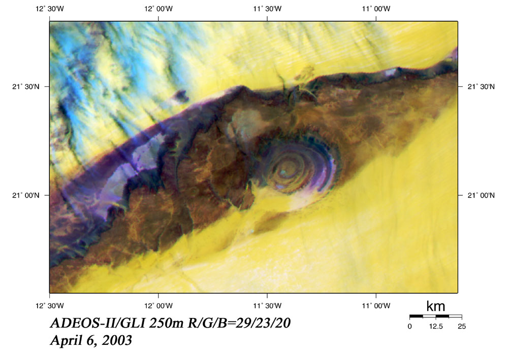
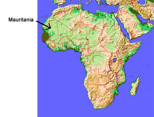
The Richat Structure is located in the center of Mauritania, the western end of the Sahara desert. It looks like an eye when seen from space and was first observed from space by Gemini 4 astronauts McDivitt and White in June 1965. Most of the image looks yellowish, indicating sand desert. The dark brown part is bare sedimentary rocks, and within that you can see the Richat Structure, a gigantic ring structure of some 40 km in diameter. It is as large as Uchiura Bay in Hokkaido, Japan. The part of the sedimentary rock corresponding to the white of the eye is a plateau standing some 200 m above the sand desert. The Richat Structure corresponding to the iris of the eye lies in a depression, and the peak of the outer rim is 485 m above sea level. The Richat Structure consists of Early Paleozoic rocks, some 600 million years old. Around the center, rocks resistant to weathering and erosion (purple and blue-green part) make 100 m high ridges, and nonresistant rocks (yellow and brown part) form valleys. These features alternate and are concentric. The Richat Structure was previously thought to have been formed by metorite impact or volcanic activity, but field surveys have demonstrated that neither are correct. The current thinking is that these features were formed by an uplift and subsequent erosion from wind and water. However, why the structure is circular remains a mystery. |