|
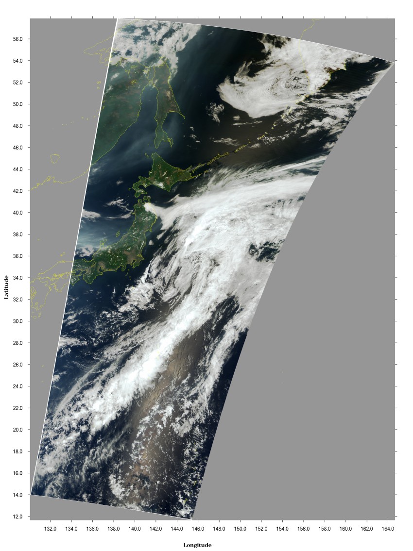
Smoke has been coming from forest fires around Lake Baikal since middle April. GLI acquired the smoke, which appears light gray on the left of the image, drifting into Sakhalin and Tohoku district over the Sea of Japan on June 5, 2003. The Meteorological Agency confirmed the existence of aerosols at altitudes of two to four kilometers on that day by lidar* observation from Ryori, Ofunato-city, Iwate.
White clouds seen on the Pacific side of Tohoku district, mainly in Sanriku district, seem to be brought by "Yamase" that is cold and wet northeasterly wind blowing from a high-pressure system in Sea of Okhotsk in the rainy season through midsummer. This "Yamase" cools wet air, and makes misty clouds in the low sky of several meters and cold, small rain drops. This cold weather has damaged crops of rice and beans since early times.
lidar* : Equipment to observe aerosol particles in the air by laser
|