Seen from Space 2011
Sicily and Mt. Etna
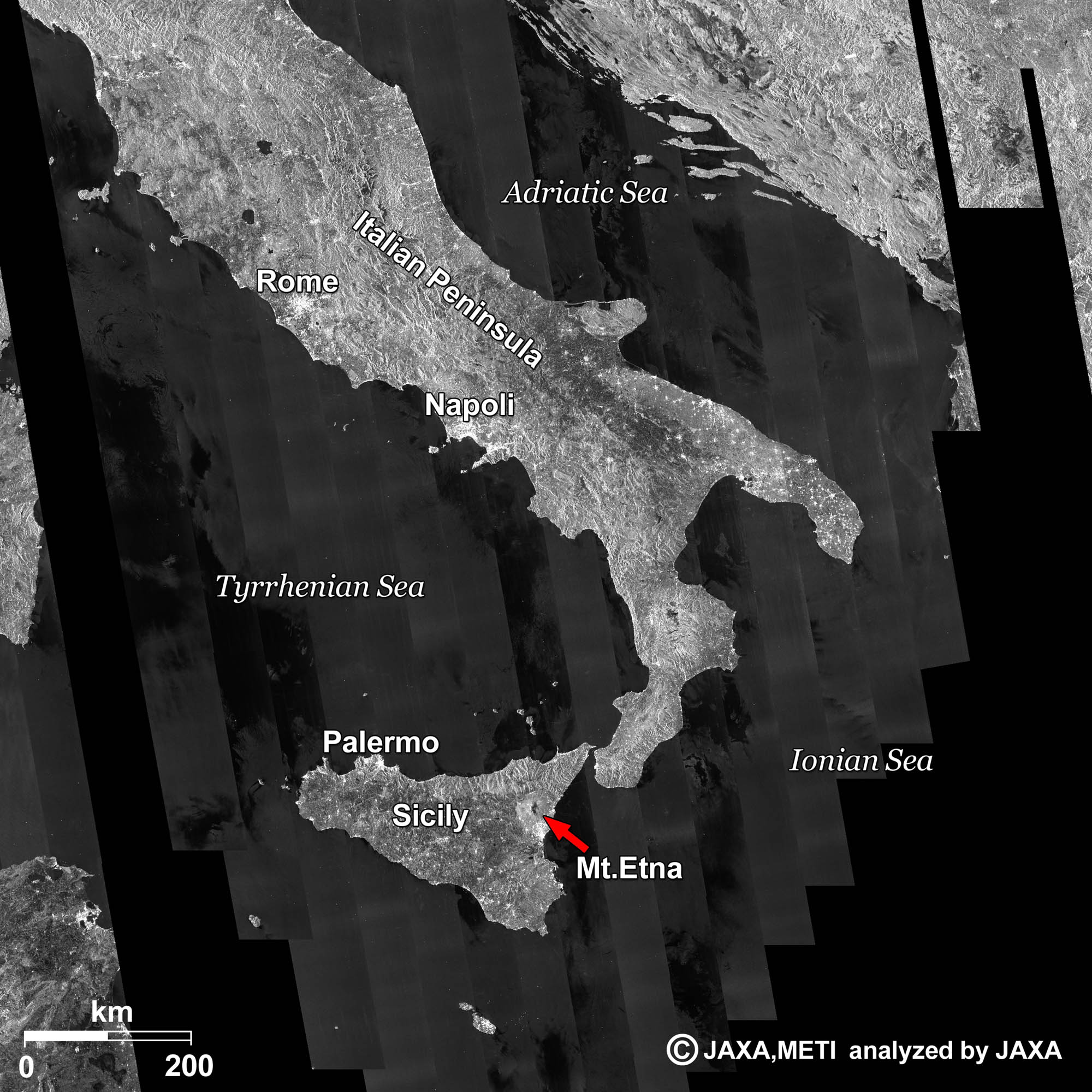 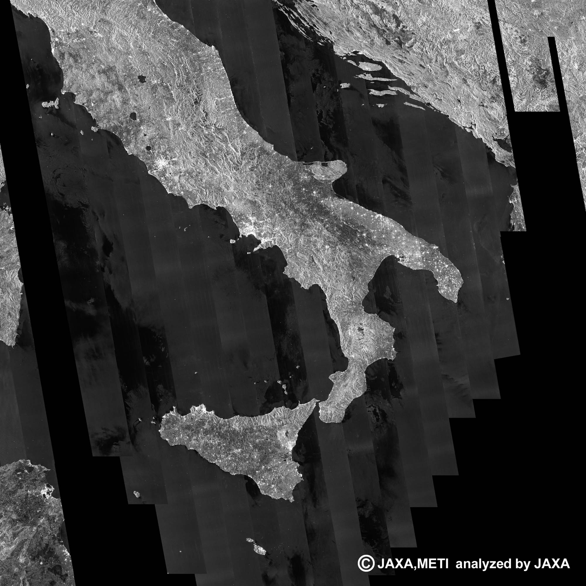 Fig. 1. The Italian Peninsula and Sicily
Figure 1 is a mosaic radar image of the Italian Peninsula and Sicily taken by ALOS (“Daichi”) from June 12 to July 27, 2009. In general, ground objects reflecting radar signals strongly look bright. The cities of Rome and Napoli are such cases, as seen in the figure. Sicily looks like a stone being kicked by the toe of the boot-shaped Italian Peninsula. Sicily is the largest island in the Mediterranean Sea. About 5 million people live on the island, which has an area of 25,000 km2. Palermo, the capital of the autonomous region of Sicily, appears bright on the northwestern coast of the island. 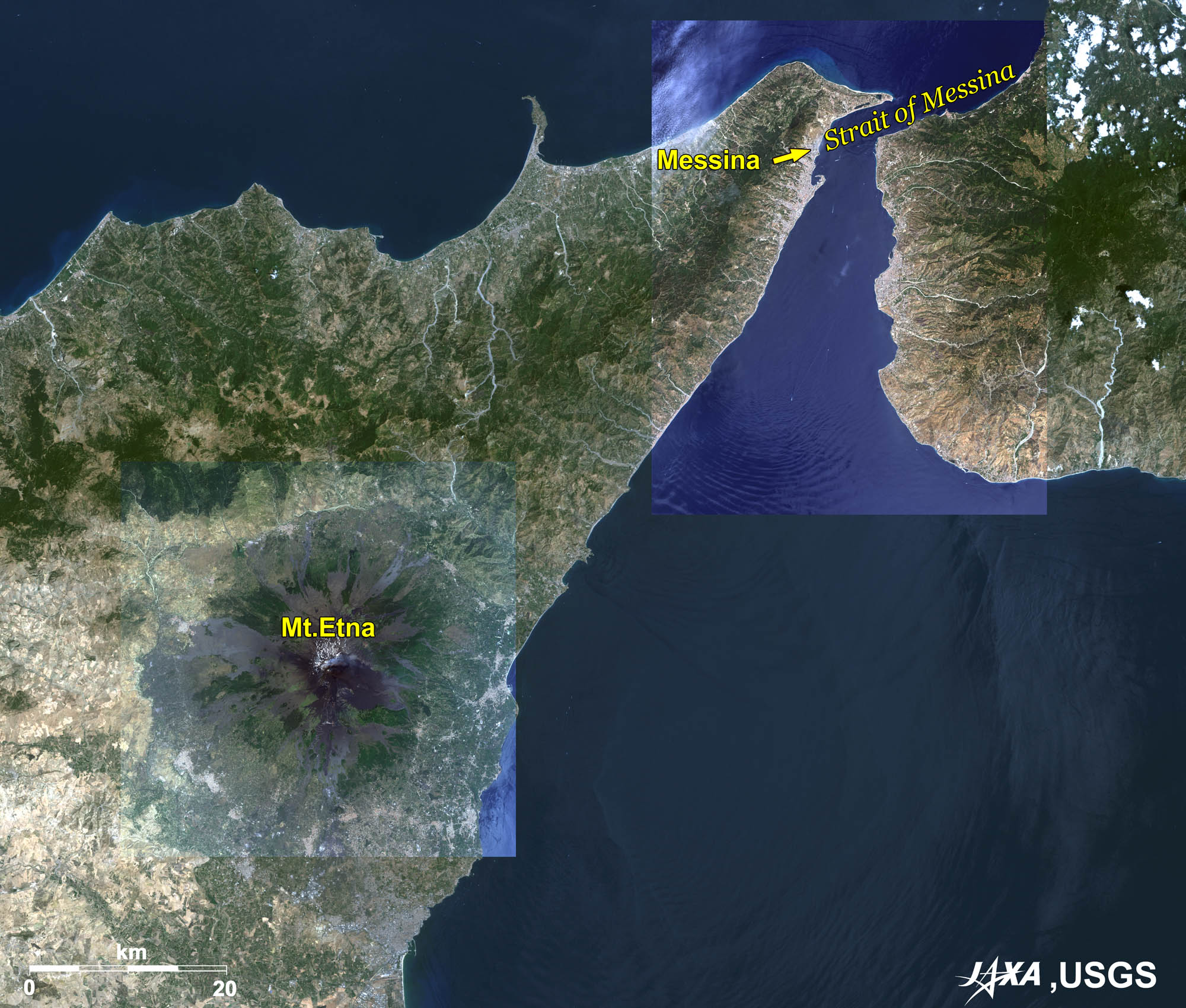
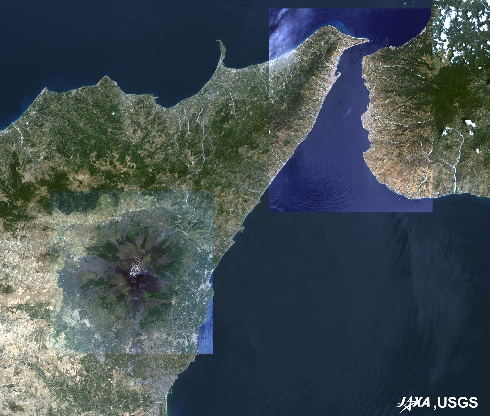
Fig. 2. The Strait of Messina and Mt. Etna
Figure 2 is an enlarged image of northern Sicily. The Strait of Messina separates the mainland and Sicily. Mt. Etna is located in the lower left of the image. The northern tip of Sicily facing the strait looks like a beak. The bright area under the beak is Messina, the third largest city in Sicily. A bridge over the strait is planned to be completed in 2016, and will surpass the Akashi Strait Bridge in Japan as the world’s longest cable-suspended bridge. 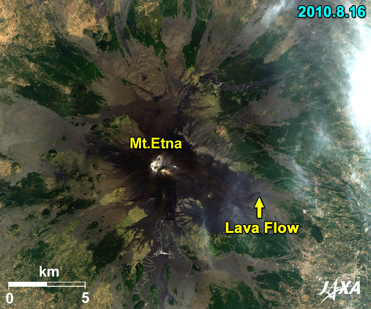 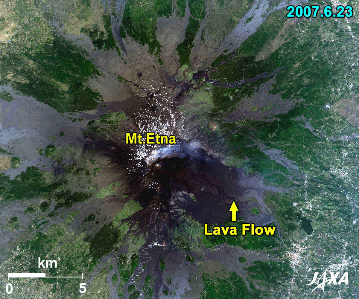 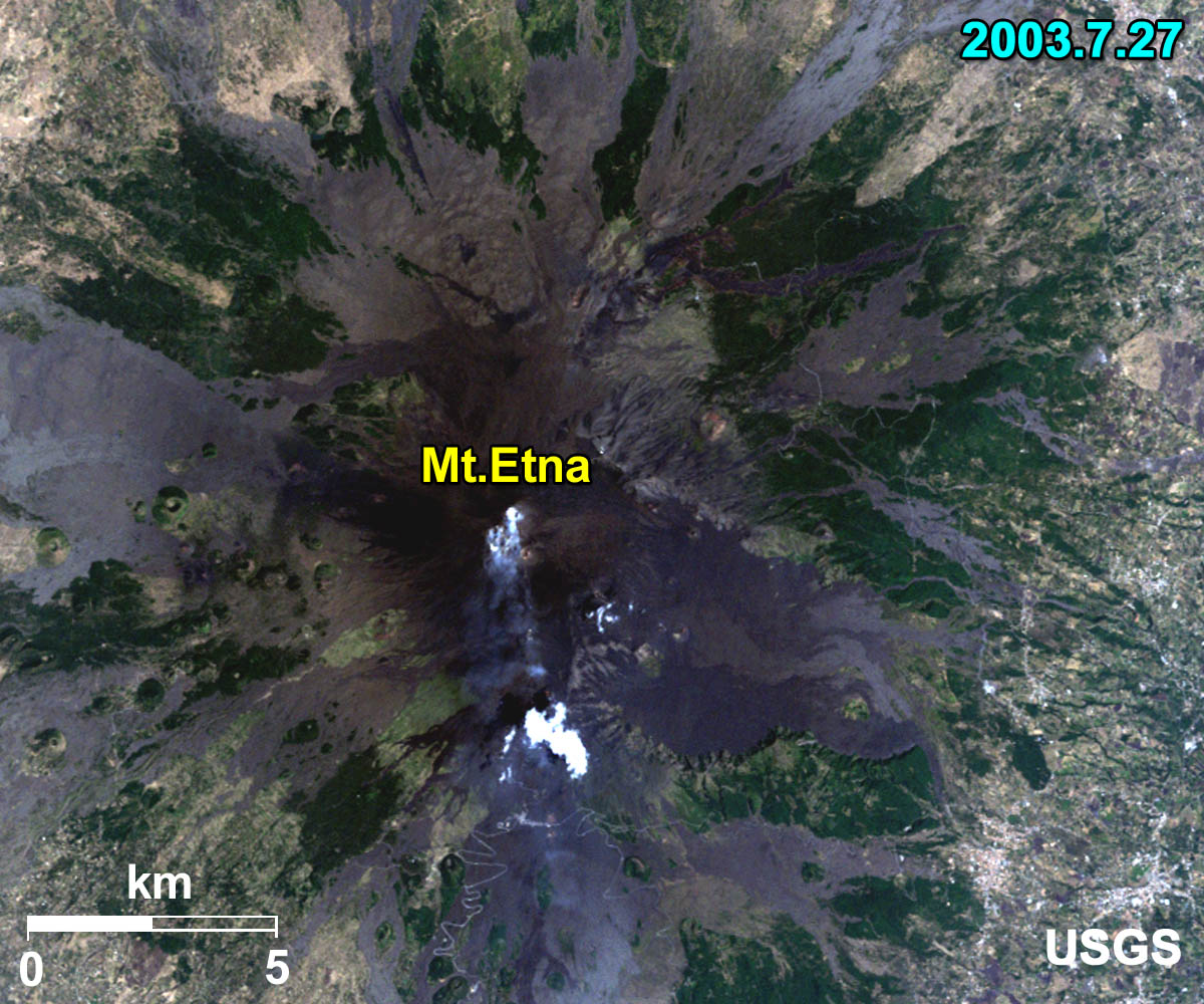
 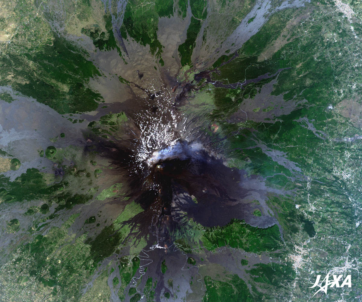 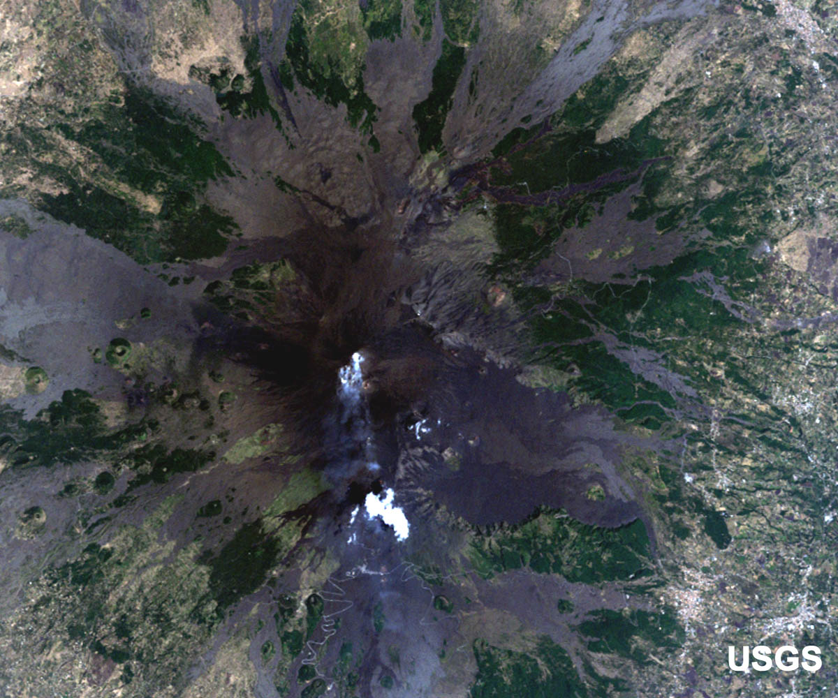
Fig. 3. Enlarged Images of Mt. Etna
Mt.Etna (kmz, 6.87 MB, Low Resolution) as seen on Google Earth. Figure 3 is three enlarged images of Mt. Etna taken by ALOS (“Daichi”) in August 2010 and June 2007, and by Landsat in July 2003. Volcanic fumes in the 2007 and 2003 images and traces of lava flow in the bluish part are visible in the images. Mt. Etna is the largest active volcano in Europe at 3,300 meters high, though this varies with summit eruptions. Mt. Etna has erupted many times. The lava flows in the 1669 and 1928 eruptions destroyed the villages at the foot of the mountain. Another large lava flow from an eruption in 1928 led to the destruction of a popular center. Other major eruptions occurring in 1971 buried the Etna observatory (built in the late 19th century) and destroyed the cable car. The arrows in the 2010 and 2007 images indicate the tips of new lava flow. 
Volcanoes in Active Phase in 2011Mt. Shinmoedake (1,421 m) in the Kirishima Mountains in Japan exploded on January 27, 2011.
Kyoto and Carbon Initiative ProjectJAXA’s ALOS Research and Application Project has been implementing the ALOS Kyoto and Carbon Initiative. The objective of this initiative is to meet the requirements raised by the Kyoto Protocol and to share the data of Earth observation satellites. ALOS PALSAR mosaic images over continental scales are regularly generated and opened to the public. Figure 1 is one such product. Please see the Kyoto & Carbon Initiative page for more details. Explanation of the Images:
Figure 1 is a black and white PALSAR image. In general, smooth areas indicate water surfaces and blocky areas indicate land.
The image data of Figures 2 and 3 are downloaded free of charge from the USGS Global Visualization Viewer (Glovis). The color composite images are produced by assigning red to Band 3 (630 to 690 nm), green to Band 2 (520 to 600 nm), and blue to Band 1 (450 to 520 nm). The resulting images have natural coloring as if seen by the naked eye.
AVNIR-2 has four observation bands. The color composite images are produced by assigning red to Band 3 (610 to 690 nm), green to Band 2 (520 to 600 nm), and blue to Band 1 (420 to 500 nm). The resulting images have natural coloring as if seen by the naked eye. Each color indicates the following ground objects:
|


