Seen from Space 2010
The Ruins of Borobudur: Glory of an Ancient Dynasty
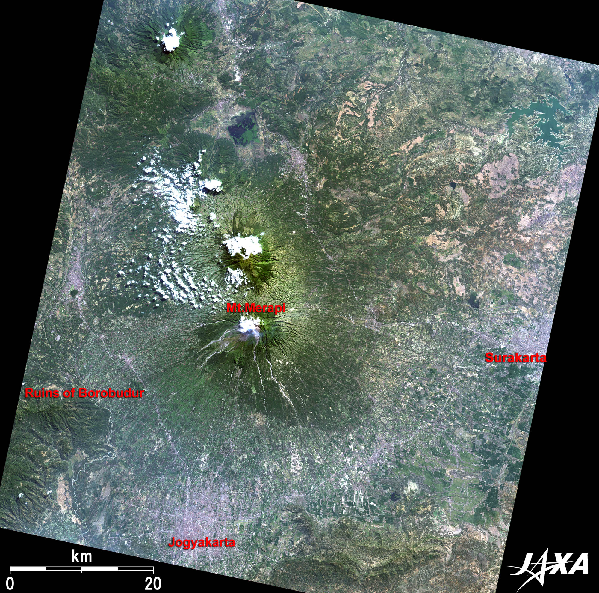 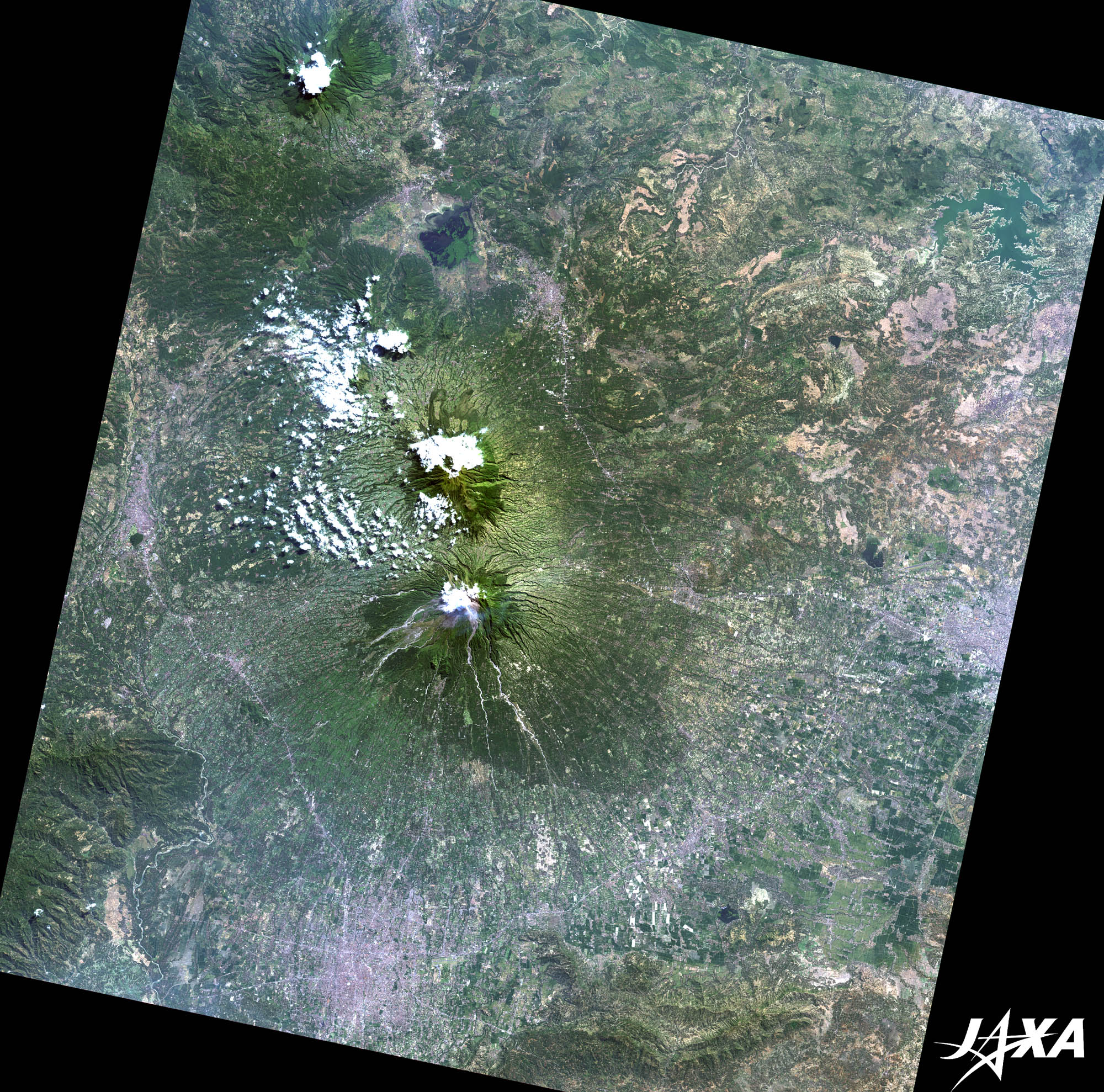 Fig. 1. Ruins of Borobudur and Its Vicinity
Figure 1 depicts the ruins of Borobudur and its vicinity as observed by ALOS (“Daichi”) in June 2008. Mount Merapi (2,968 m), the most active volcano in Indonesia, is visible at the center of the image. The Ruins of Borobudur were discovered west of the mountain in Central Java. Borobudur is one of the largest Buddhist temples in the world, which is why it was added to the World Heritage list of UNESCO. The splendor of Borobudur ranks with that of Angkor Wat in Cambodia. 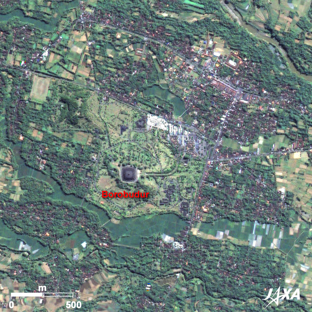 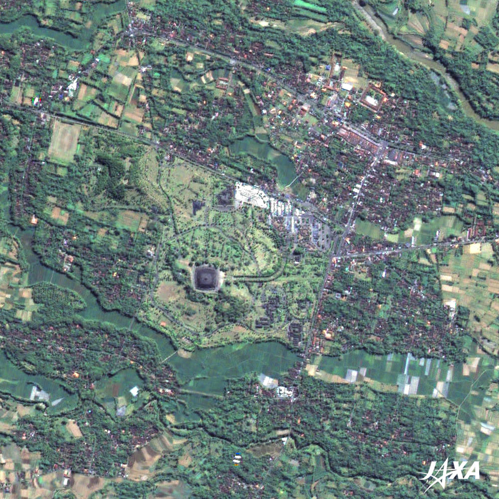 Fig. 2. Enlarged Image of Borobudur
Borobudur (kmz, 2.07 MB, Low Resolution) as seen on Google Earth Figure 2 presents an enlarged image of Borobudur. The temple is composed of a square base of 120 meters a side, five concentric square terraces, and three circular platforms overlapping to give it a total height of 35 meters. The image clearly shows the size and structure of the temple. 
Construction of BorobudurThis magnificent temple was built during the eighth and ninth centuries. The Sailendra dynasty ruled this district in that period. It is believed that the Sailendra dynasty embraced Buddhism, which had spread from India, and built Borobudur to make the faith into a form. Construction continued as long as 50 years, although there were some interruptions along the way. A little earlier in Japan, erection of the Great (Image of) Buddha in Todai-ji Temple took place as part of a national project. Although it is an occurrence of seemingly meaningless coincidence, it is an interesting fact that the two constructions, based on a belief in Buddhism, though geographically far apart, took place in the same period. 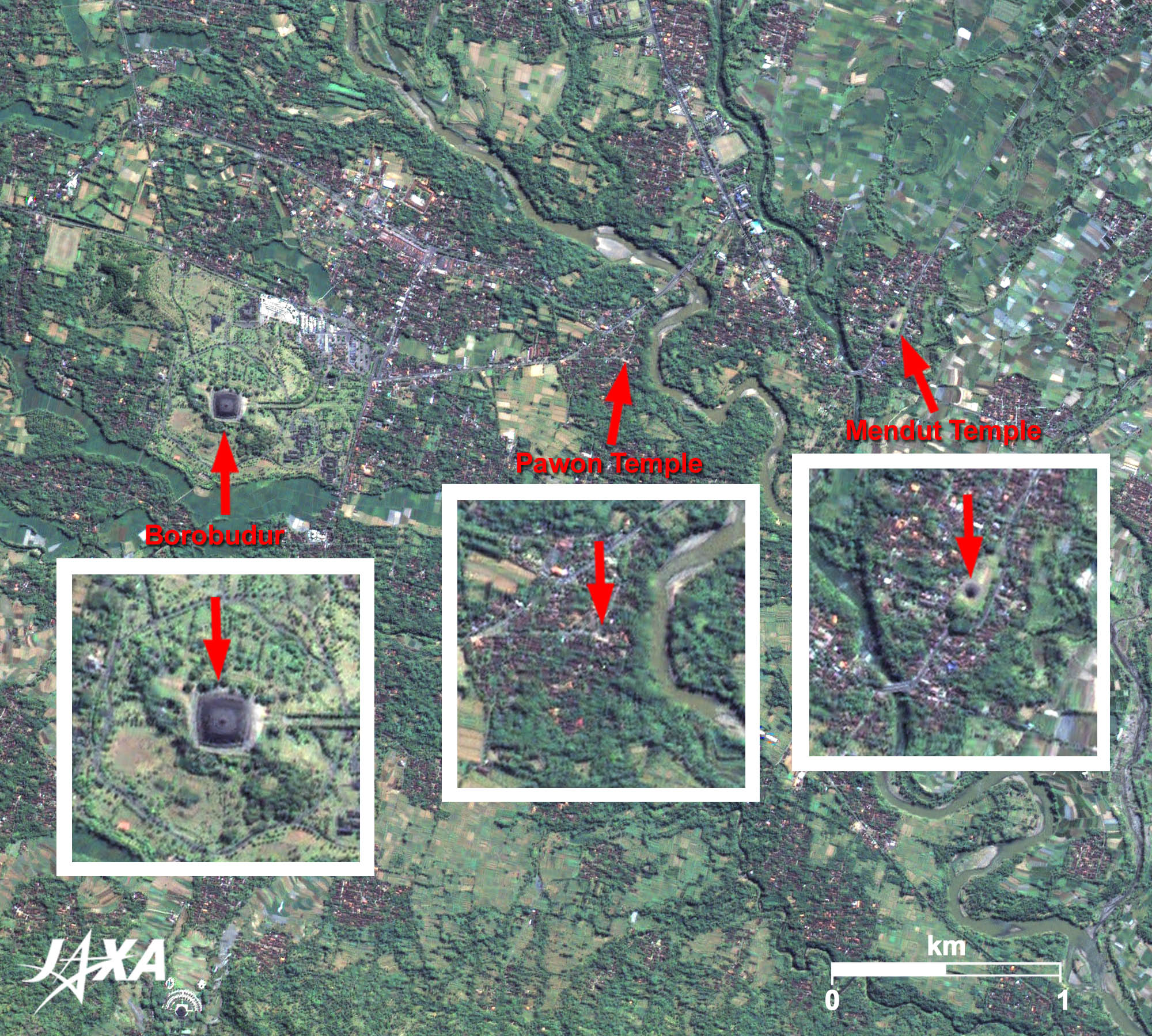  Fig. 3. Borobudur Temple Compounds
Heading east from Borobudur, Pawon Temple and Mendut Temple stand in a line at almost the same distance. These temples are registered to the list of the World Heritage as part of the “Borobudur Temple Compounds.” More Buddhist buildings may have stood there in the past. Borobudur looks to the heavens from the grand stupa. If we look at the shape of the temple from ALOS in the sky, we are strongly impressed with their religious devotions and the glory of the once prosperous ancient dynasty. Explanation of the Images:
AVNIR-2 has four observation bands. The composite images are usually produced by assigning red to Band 3 (610 to 690 nm), green to Band 2 (520 to 600 nm), and blue to Band 1 (420 to 500 nm). The resulting images have natural coloring as if seen by the naked eye. Thus, the following colors designate ground objects:
PRISM is an optical sensor for observing ground surfaces with visible and near-infrared signals in the 520- to 770- nanometer (one-billionth of a meter) band. The acquired image is monochrome. PRISM has three independent optical systems (telescopes) to acquire images for nadir, forward, and backward views at the same time. Only the nadir image was used in this article. |


