Seen from Space 2009
Hakodate, Japan - Celebrating 150 Years of Opening Its Port to the World
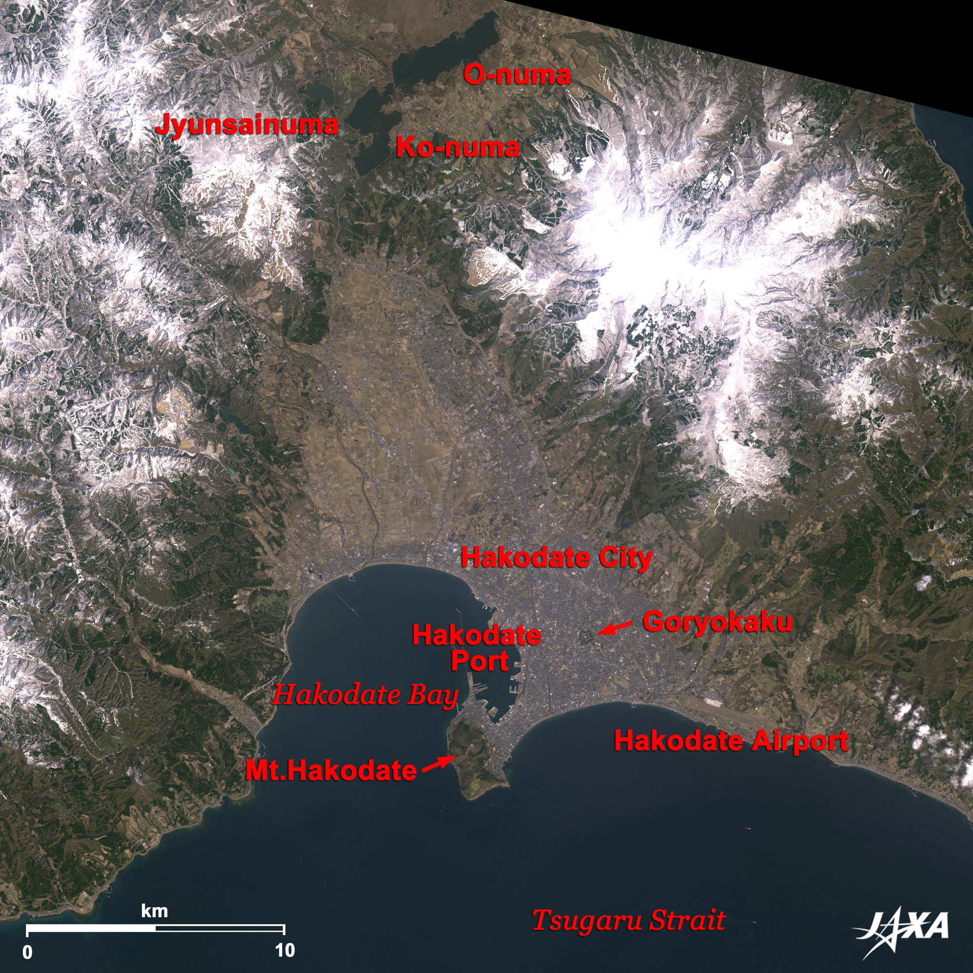 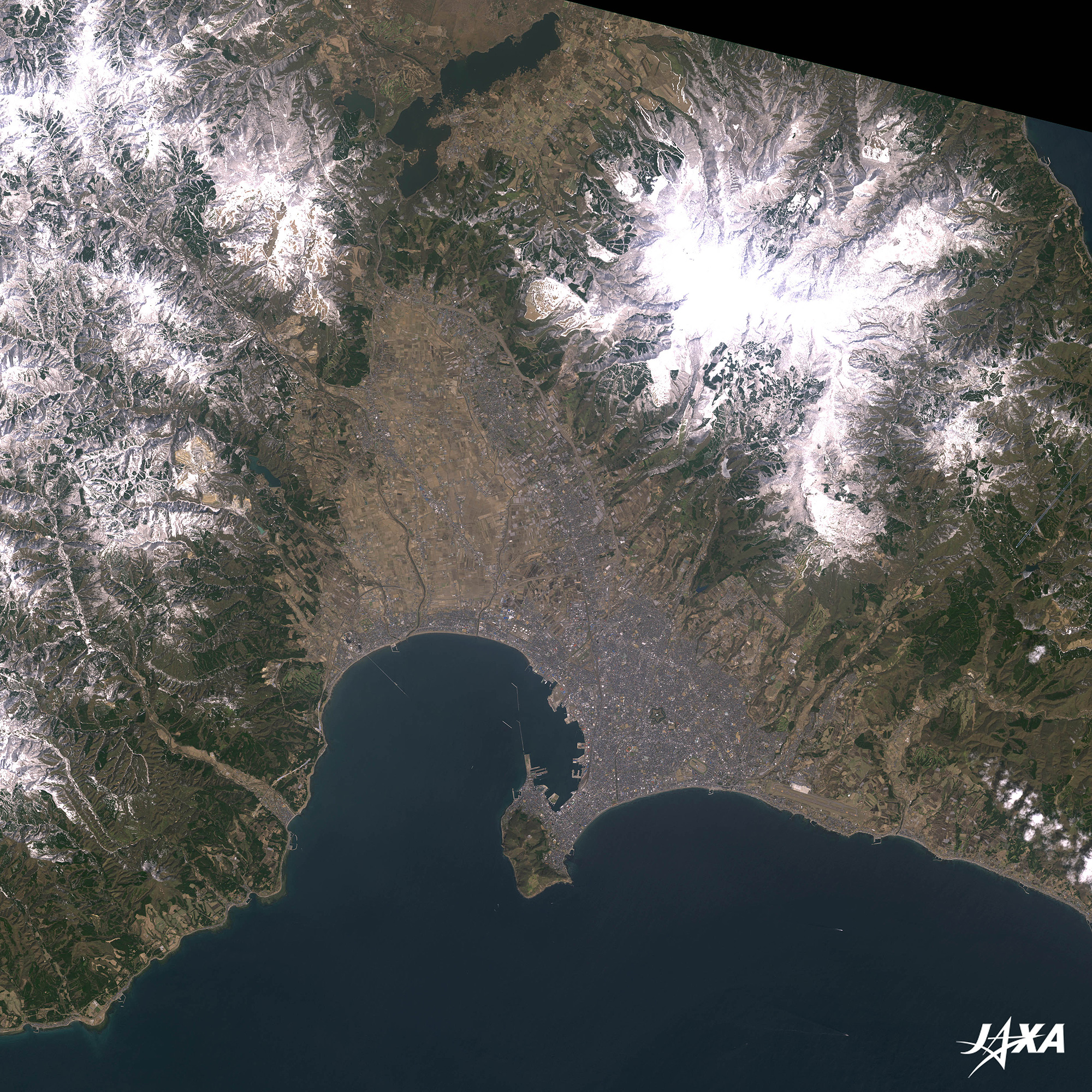 Fig. 1. Hakodate and Its Surroundings
Hakodate(kmz, 4.39 MB, Low Resolution) as seen on Google Earth. Figure 1 shows the city of Hakodate (Hokkaido Prefecture, the northernmost island of Japan) and its surroundings as observed by ALOS (Daichi) in April 2009. Hakodate is seen at the center of the image, and Hakodate Peninsula juts out into the Tsugaru Strait to the southwest of the city. Some lakes are seen at the top of the image. They are called Onuma (Big Lake), Konuma (Little Lake), and Jyunsai-numa (Lake Jyunsai). These lakes and the northern Mt. Komagatake (not visible in the image) compose the Onuma Quasi-National Park. 
The Port that Witnessed Dynamic Change at the End of the Edo PeriodHakodate was a front door to Hokkaido. Even before that, Hakodate was already a front door to Japan. Adam Laxman, a Russian envoy, visited Hakodate in 1793 to return Daikokuya Kodayu to Japan, who had washed ashore at the Aleutian Islands. This was the first time the people of Hakodate came in contact with those of foreign countries. Years later, an American admiral, Commodore Matthew Perry, visited Hakodate and surveyed the land. The Edo Shogunate and Commodore Perry signed the Treaty of Peace and Amity in 1854. According to this treaty, the Edo Shogunate had to open Hakodate and Shimoda (near Tokyo) as supply ports. The Edo Shogunate started the construction of Goryokaku in 1857, a pentagon-shaped castle, employing the European fortification style. Goryokaku was designed to strengthen the city’s defense capacity and become governmental offices. The Edo Shogunate opened Kanagawa, Nagasaki, Niigata, Hyogo, and Hakodate as international trade ports in 1859, according to the Treaty of Amity and Commerce between Japan and the United States of America. In 1868, during the Meiji Restoration, Enomoto Takeaki, a vice admiral of the Edo Shogunate, occupied Goryokaku and declared the independence of the Ezo Republic. He surrendered in 1869. As mentioned, Hakodate experienced turbulence at the end of the Edo Period. The city hosted a variety of festivals on July 1 this year to commemorate the 150-year anniversary of the opening of its port in 1859. 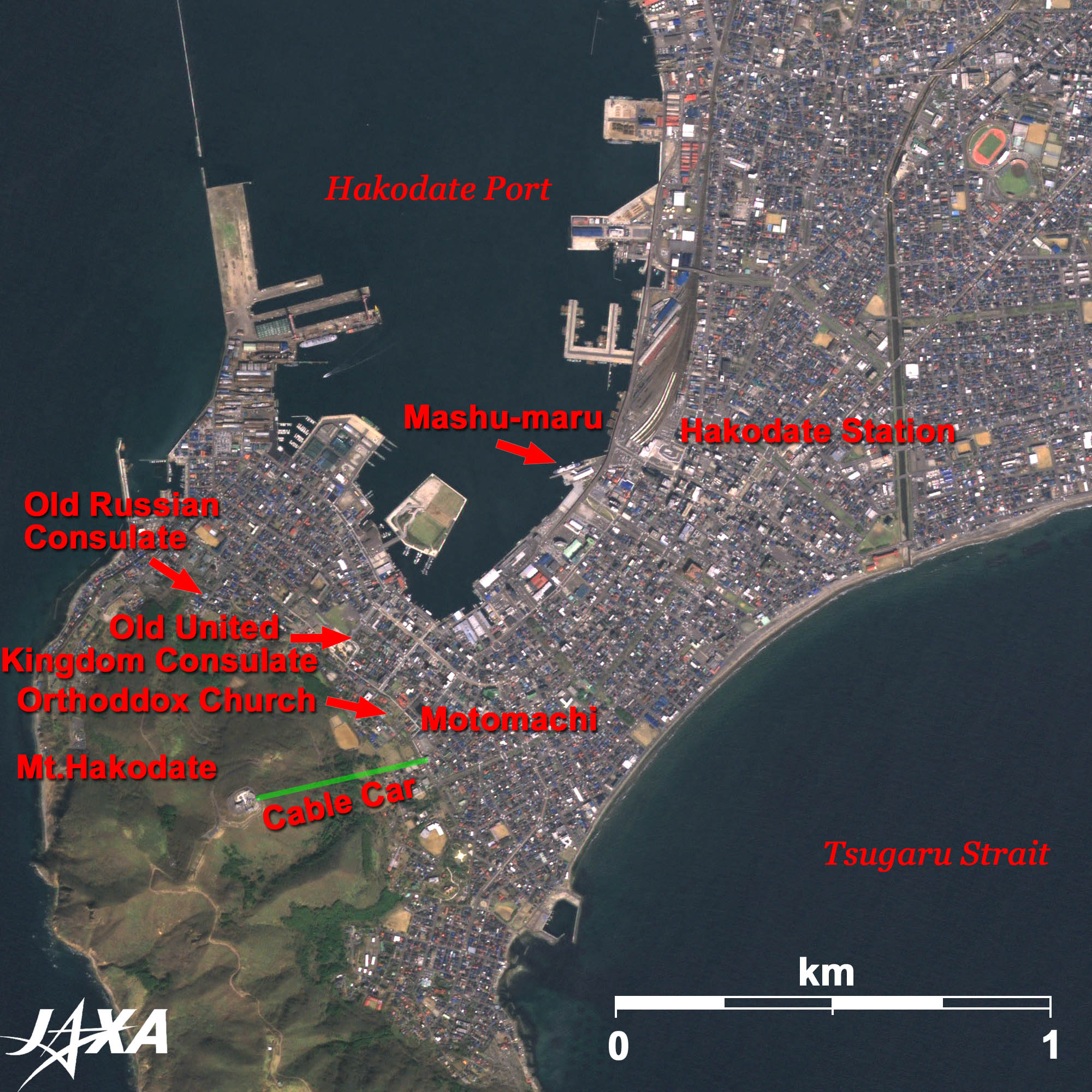 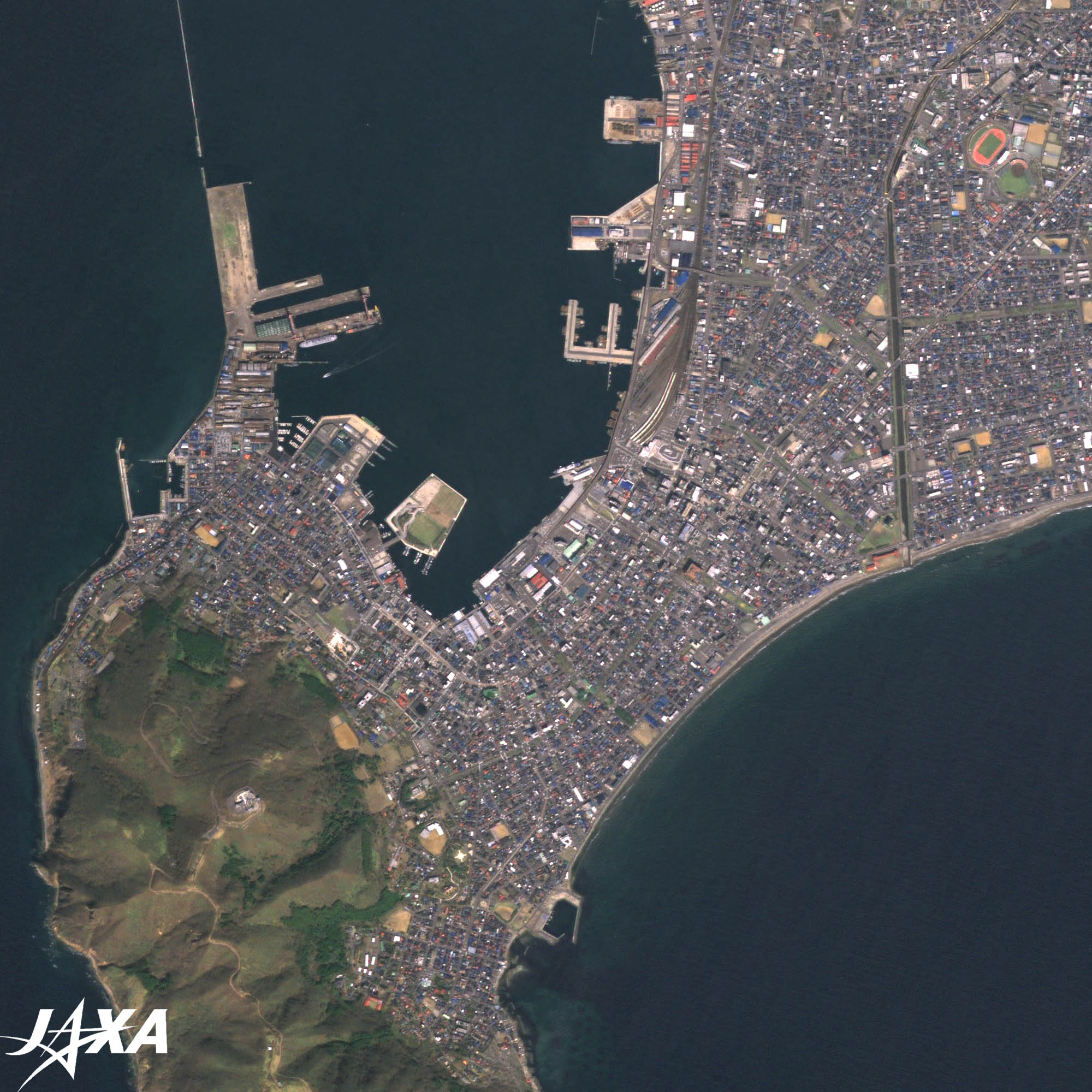 Fig. 2. Mt. Hakodate and the Motomachi Area
Figure 2 is an enlarged image of Mt. Hakodate and the Motomachi area. The cable car operates between the top and the foot of Mt. Hakodate. At the foot of Mt. Hakodate is Motomachi where the Old Russian Consulate, the Old United Kingdom Consulate, and the Orthodox Church remain. They are historic reminders of the movements during the end of the Edo Period. As you see in the image, Hakodate Station is connected to Hakodate Port. At the pier, Mashu-maru, the last ferry ship between Aomori and Hakodate, is on display as a museum of the ferry’s history. 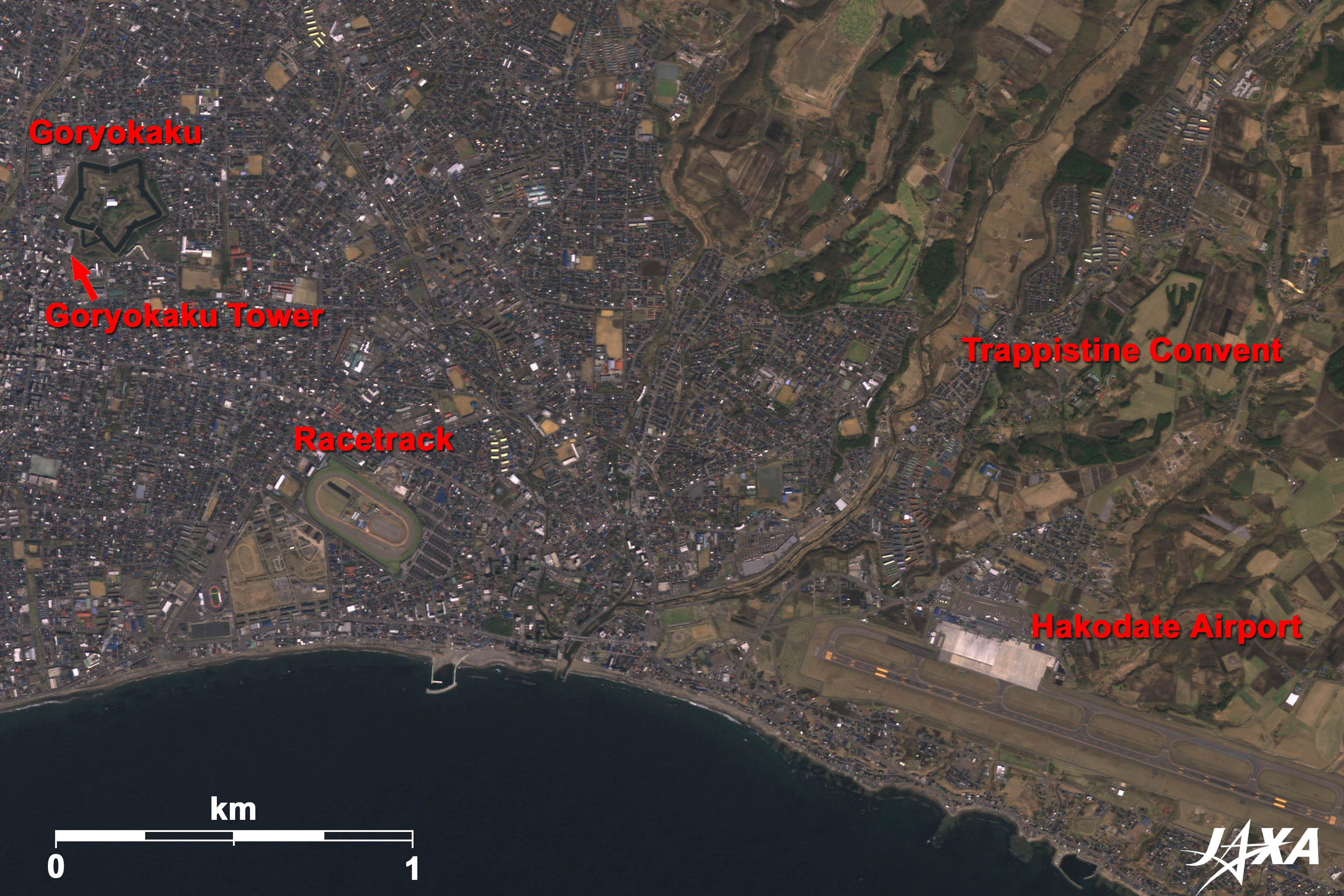 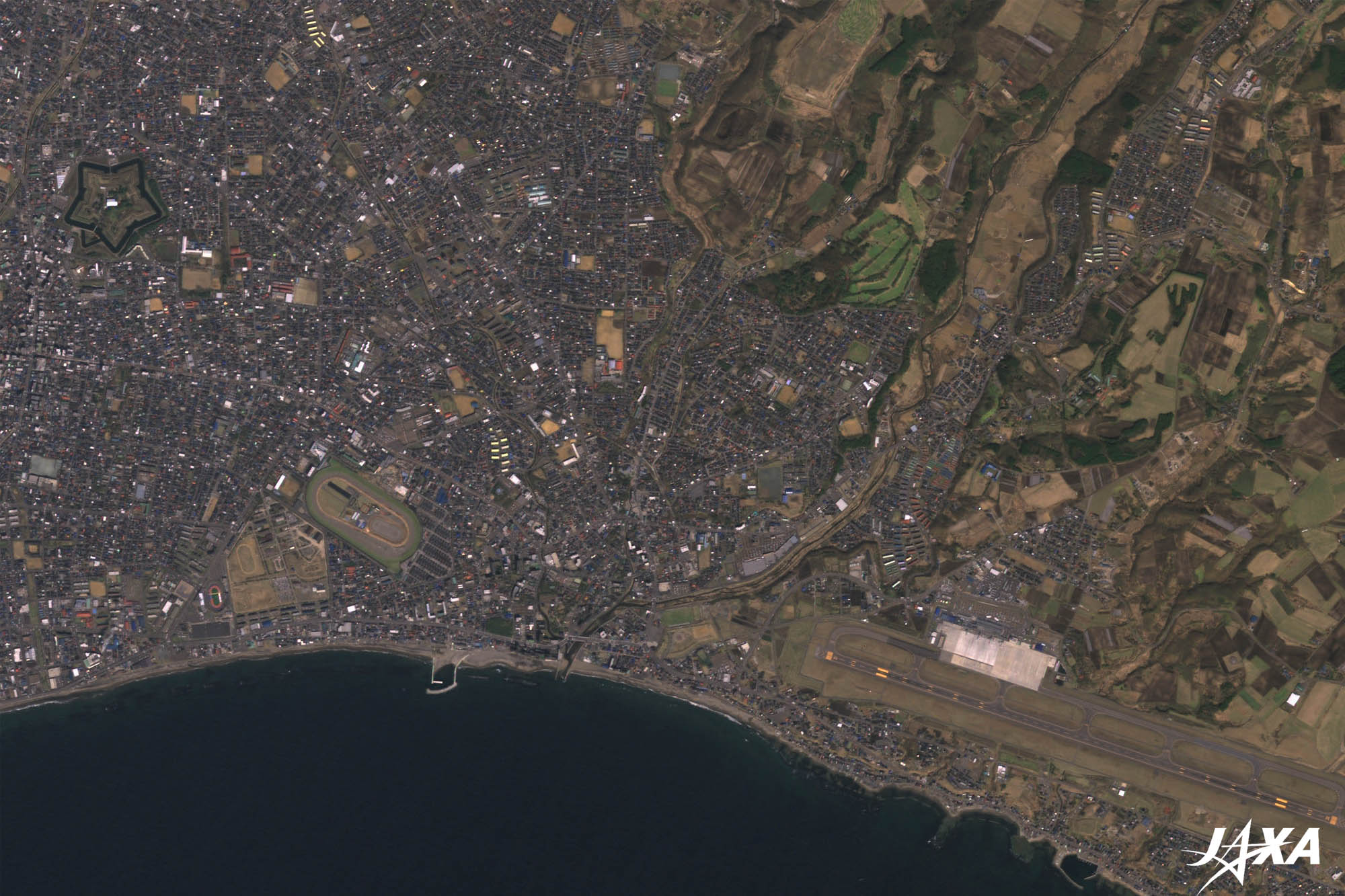 Fig. 3. Goryokaku and Its Surroundings
Figure 3 is an enlarged image of Goryokaku and its surroundings. The pentagon-shaped Goryokaku is seen at the left. It took 9 years (from 1857 until 1866) for the Edo Shogunate to construct it. Goryokaku was planned to manage Hokkaido and defend the northern part of the territory. It has been converted to a park and is now open to the public. You can see a racetrack to the southeast of Goryokaku and Hakodate Airport at the bottom right of the image. Trappistine Convent is also visible at the right of the image. This was the first convent in Japan, established in 1898. Goryokaku Tower was constructed near Goryokaku in December 1964 to commemorate the 100-year anniversary of the construction of Goryokaku. A new tower was constructed in April 2006. This new tower has a pentagonal observation deck and pentagon-shaped body to reflect the image of Goryokaku. You can see a shadow of the tower of a height of 107 m in the image. This year, celebrating the 150-year anniversary of the opening of its port, Hakodate will become a port to exploring a new age. Explanation of the Images: (Click the images twice to enlarge.)
AVNIR-2 has four observation bands. The composite images are usually produced by assigning red to Band 3 (610 to 690 nm), green to Band 2 (520 to 600 nm), and blue to Band 1 (420 to 500 nm). The resulting images have natural coloring as if seen by the naked eye. In the above figures, green is assigned to the sum of 90% of Band 2 and 10% of Band 4 (760 to 890 nm), which improves the visibility of vegetation. Thus, the following colors designate ground objects:
(Figures 2 and 3) |


