Seen from Space 2010
Mohenjo-daro: An Amazingly Developed City
|
Mohenjo-daro (meaning “Mound of the Dead”), located in the province of Sindh in south Pakistan, is the ruins of a city of the Indus Valley Civilization (3,300-1,700 B.C.). It is one of the Four Great Ancient Civilizations and has been added to the World Heritage of UNESCO list. The Indus River, which originates at Tibet, formed fertile land downstream and spawned the development of agriculture and the Indus Valley Civilization. Cities of the Indus Valley Civilization appeared around 2,300 B.C. and Mohenjo-daro (3,300-1,700 B.C.) is the most famous of them along with Harappa, which is located about 600 km upstream of the Indus River. 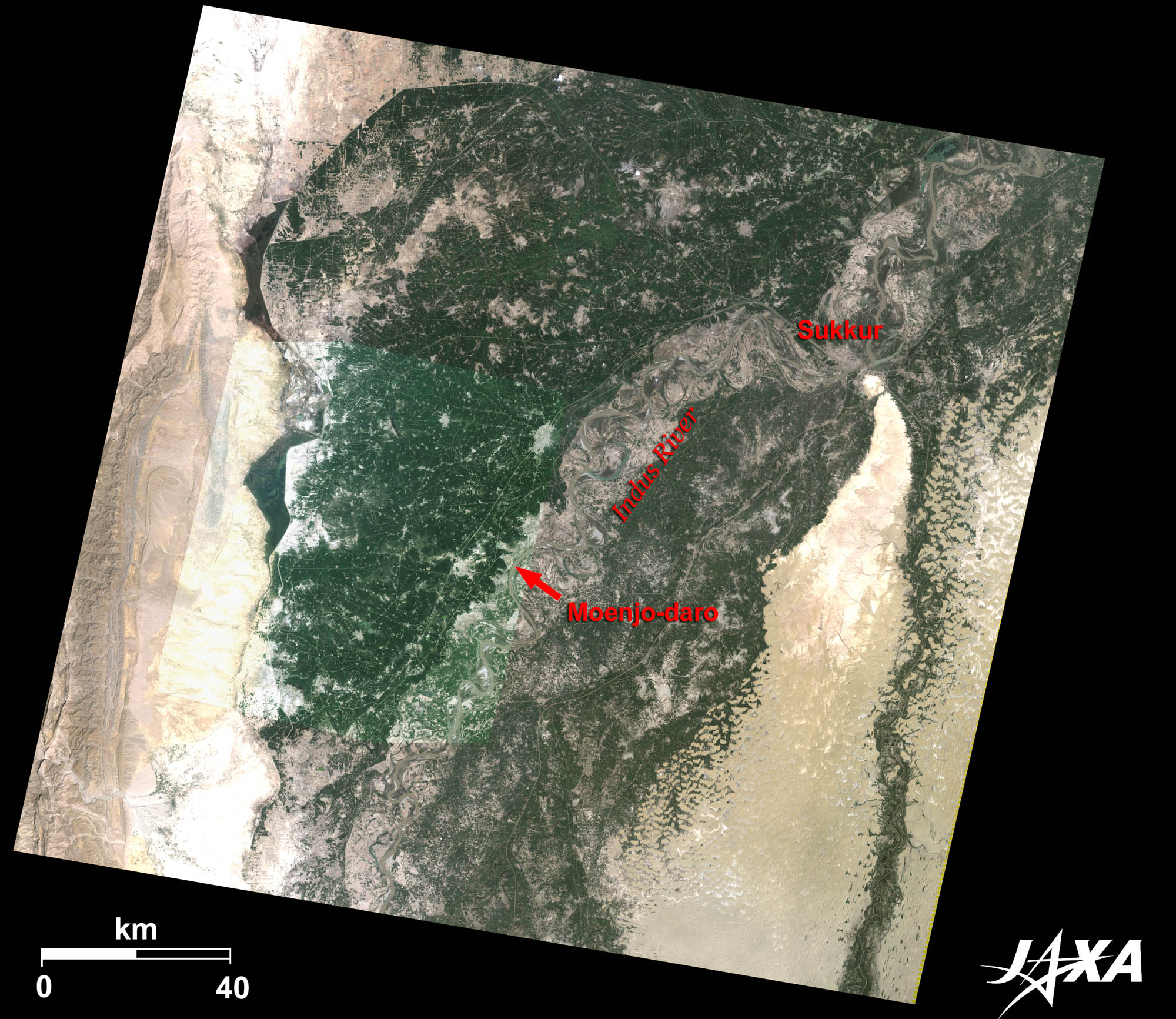 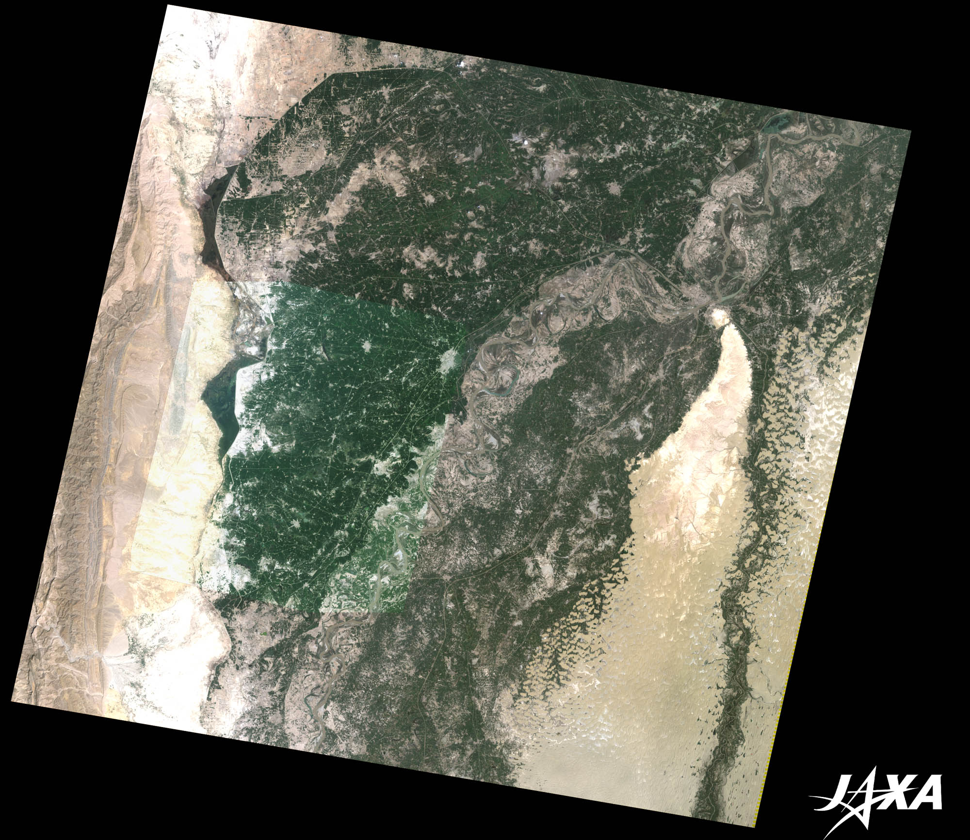 Fig. 1. Mohenjo-daro and Its Vicinity
Figure 1 shows Mohenjo-daro and its vicinity as observed by Landsat-5 in September 2009, on which the image taken by ALOS (“Daichi”) in the same month was overlaid. The light brown areas on both sides of the image are deserts in southern Pakistan. The green areas in the center of the image are farmlands on the 100-kilometer-wide river basin of the Indus River, which flows from the north (top) to the south (bottom). 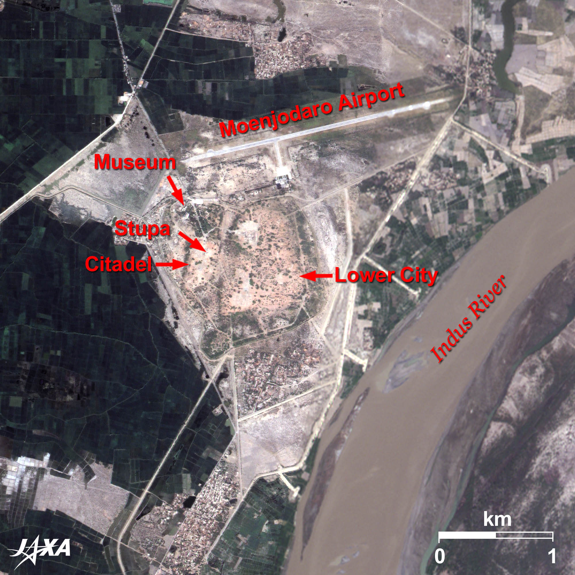 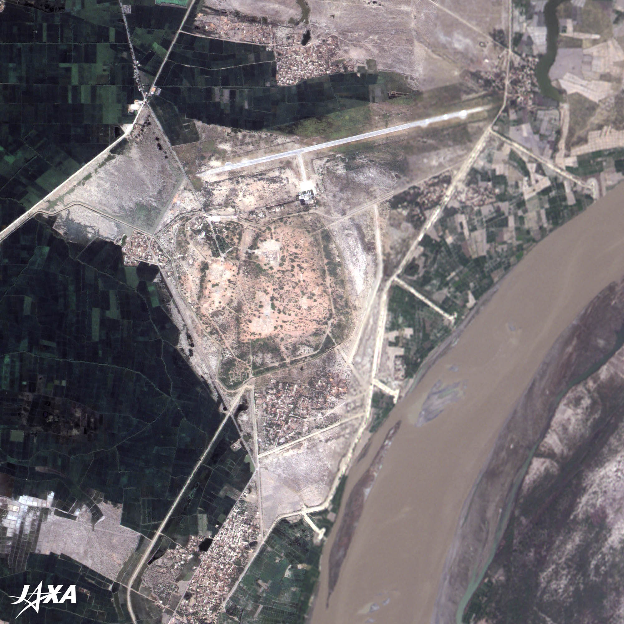 Fig. 2. Close-up Image of Mohenjo-daro
Ruins of Mohenjo-daro (kmz, 4.15 MB, High Resolution) as seen on Google Earth As seen in the image, the city was divided into two areas: the so-called Citadel in the west (left) and the Lower City in the east (right). The cistern of a public bath (12 meters long, 7 meters wide, and 2.5 meters deep) and a site that appeared to be a basement of the so-called Great Granary (46 meters long and 23 meters wide) were found in the Citadel. It is called the Citadel because there were massive buildings in this area; however to date, no facilities of war have ever been found. 
The People of Mohenjo-daro Enjoyed a Good LifeMany artifacts were excavated from the site, such as earthenware used in daily life, human- and animal-shaped clay figures, seals used for trading, and elaborate accessories made of beads. These products were traded in Mesopotamia district or the Persian Gulf area, which reveals that exchanges between civilizations of the east and west were performed actively. About 400 letters of their language are known, but they are not readable to date. A king’s palace or temples, which represent the mighty power of rulers, were not found. This indicates that people were relatively equal. People in the city were divided according to occupation and are believed to have lived well.
The Mysterious End of the Indus Valley CivilizationThe Indus Valley Civilization flourished until about 1,800 B.C. Shortly after, it declined rapidly and soon disappeared. Explanation of the Images:
AVNIR-2 has four observation bands. The composite images are usually produced by assigning red to Band 3 (610 to 690 nm), green to Band 2 (520 to 600 nm), and blue to Band 1 (420 to 500 nm). The resulting images have natural coloring as if seen by the naked eye. Thus, the following colors designate ground objects:
PRISM is an optical sensor for observing ground surfaces with visible and near-infrared signals in the 520- to 770-nano-meter (one-billionth of a meter) band. The acquired image is monochrome. PRISM has three independent optical systems (telescopes) to acquire images for nadir, forward, and backward views simultaneously. Only the nadir image was used in this article.
This image data was downloaded free of charge from the USGS Global Visualization Viewer (Glovis). The color composite image is produced by assigning red to Band 3 (630 to 690 nm), green to Band 2 (520 to 600 nm) and blue to Band 1 (450 to 520 nm). The resulting image has natural coloring as if seen by the naked eye. |


