Seen from Space 2009
Hamamatsu, Japan: Battle Field of the Middle Ages and Birth Place of the Japanese Piano Industry
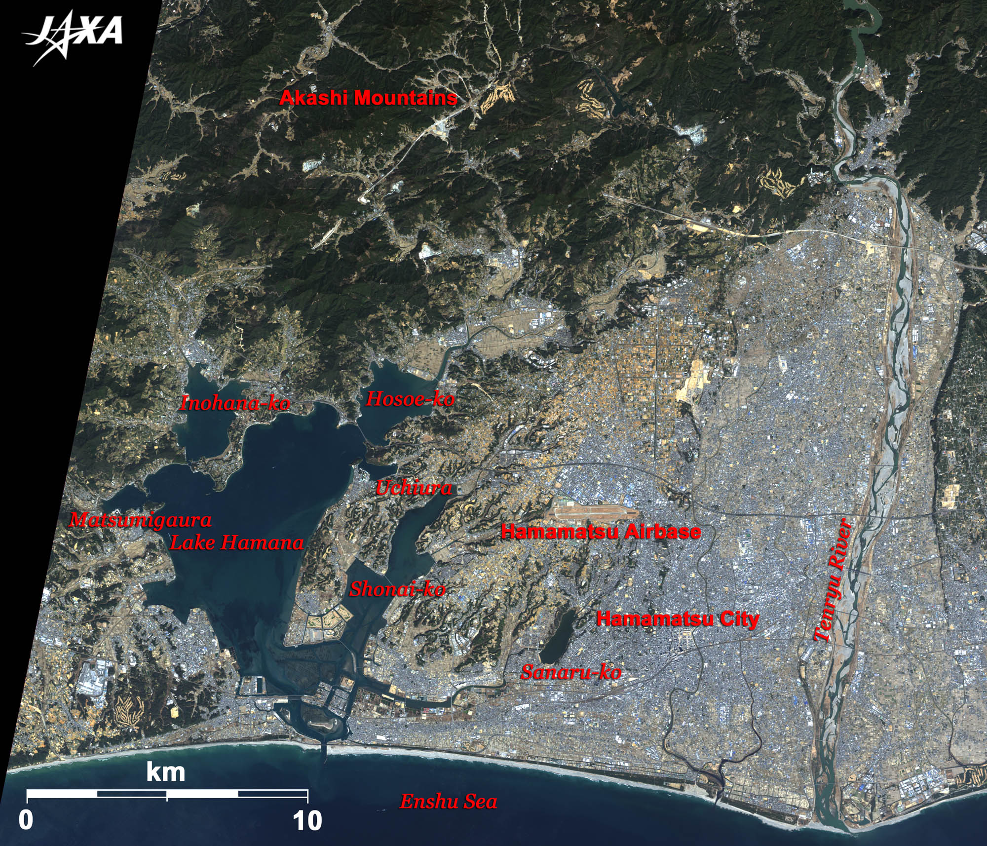 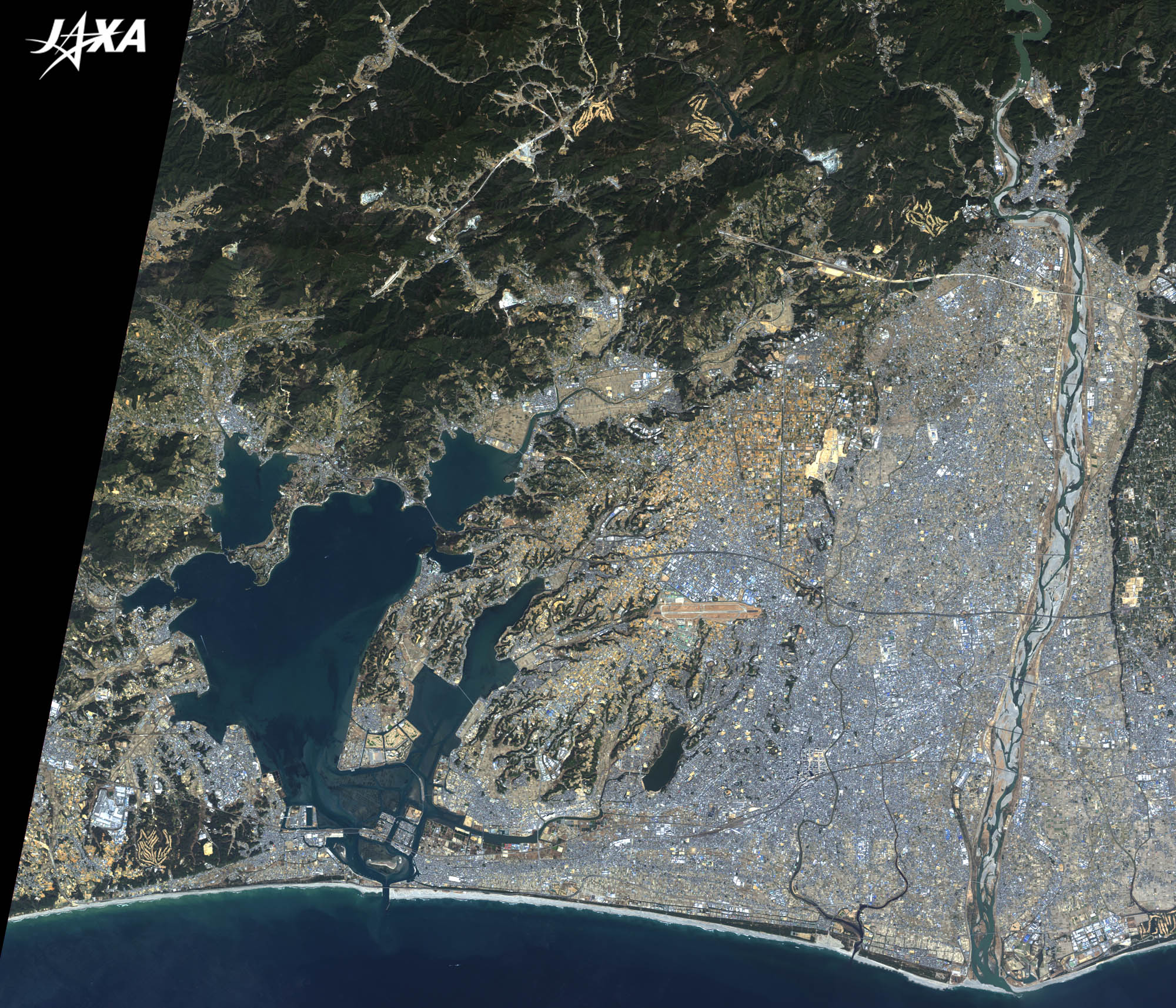 Fig. 1. Lake Hamana and Hamamatsu City
Hamamatsu(kmz, 4.33 MB, Low Resolution) as seen on Google Earth Figure 1 shows Lake Hamana and Hamamatsu City as observed by ALOS (Daichi) in March 2008. Hamamatsu is located at the center of the main island of Japan and is bordered by the Enshu Sea in the south, the Akashi Mountains in the north, the Tenryu River in the east, and Lake Hamana in the west. The airport visible in the middle of the image is the Hamamatsu Airbase of the Japan Air Self-Defense Force. Mikata-ga-hara (The Mikata Plain), north of the airbase, is famous for the battle in 1573 between two powerful feudal loads: Takeda Shingen and Tokugawa Ieyasu, founder of the Tokugawa Shogunate, who was defeated here. Lake Hamana is a brackish lake with mixed fresh water and seawater and is composed of some smaller lakes (Inohana-ko, Hosoe-ko and Shonai-ko) and bays (Matsumigaura and Uchiura). East of Lake Hamana, rapids of the Tenryu River transported timber in the form of log rafts. The timber was processed in the Hamamatsu area and, due to local wood crafting skills, provided the base for establishing some piano factories in the nineteen twenties. The piano has since become a popular instrument in Japan. The Hamamatsu Museum of Musical Instruments is located near Hamamatsu Station. After the Second World War, motorcycle and automobile industries arose in this area (see Fig. 2). 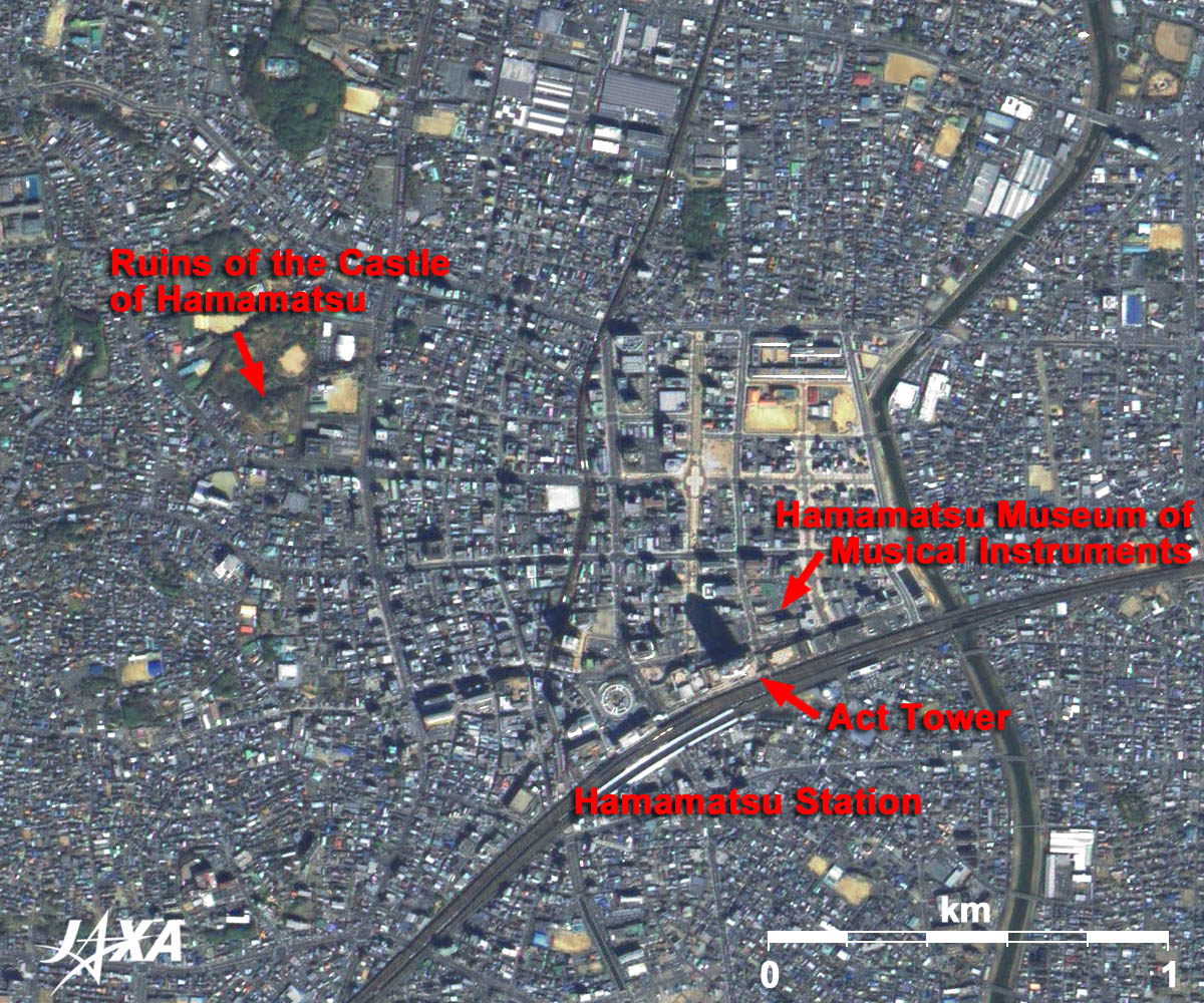 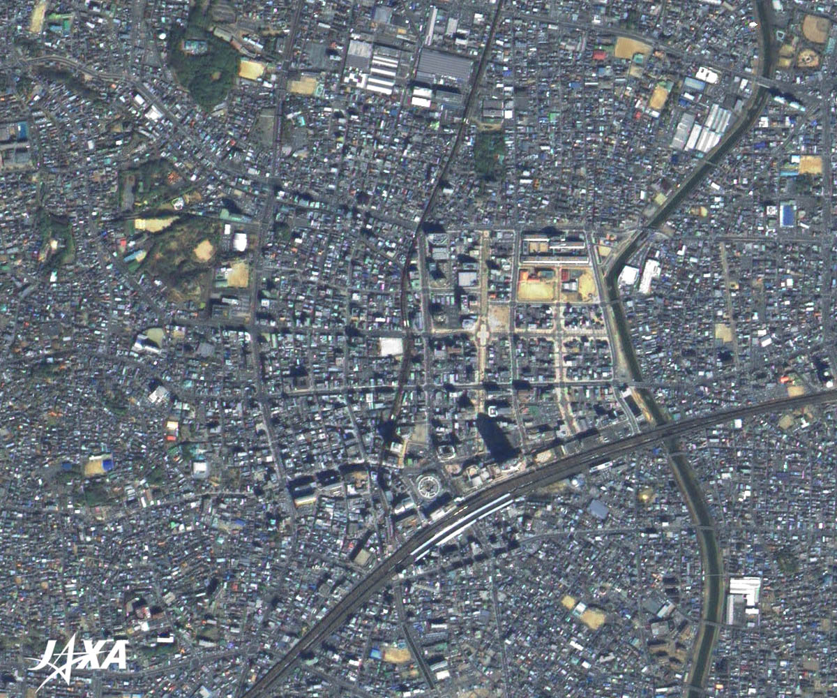 Fig. 2. Central Part of Hamamatsu City
Figure 2 is an image of the central part of Hamamatsu City. Hamamatsu Station is visible in the middle of the image. A dark green area on the left side of the image is the ruins of Hamamatsu Castle, which is now a part of the nearby park. Tokugawa Ieyasu moved his base from Okazaki to Hamamatsu to prepare for the Battle of Mikata-ga-hara. Act City Hamamatsu, a facility for public and private use, stands next to Hamamatsu Station. At 212 meters tall, the 45-floor Act Tower is the highest building in Shizuoka prefecture, and in the motif of a harmonica. You can see the tower’s shadow extending to the northwest in the image.   Fig. 3. Southern Part of Lake Hamana
Figure 3 shows an enlarged image of the southern part of Lake Hamana. The lake connects with the Enshu Sea through Imagire-guchi Inlet (imagire meaning “just cut”). Imagire-guchi Inlet was formed about 500 years ago when an earthquake cut the land that separated Lake Hamana and the Enshu (old name of this area) Sea. This area is one of the famous scenes drawn by Hiroshige, a renowned woodblock artist in the nineteenth century. It was also known as the most difficult point to cross. The Hamana Bypass of National Route 1 now crosses the point. Lake Hamana was also famous for eel farming. Many eel farming ponds were dug during the early twentieth century. There were some large ponds of more than 850 hectares during the prosperous period of the nineteen sixties. Today, eel catches are below a third of those at the prosperous time. Hamamatsu is located midway between Tokyo and Shin-Osaka on the Tokaido Shinkansen (bullet train) line. Its good location supports the activities of Hamamatsu, a city that has created many first products in the world and will promote new industries as “a Mecca of Manufacturing.” Explanation of the Images: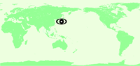 (Click the imaged twice to enlarge)
AVNIR-2 has four observation bands. The color composite images are usually produced by assigning red to Band 3 (610 to 690 nm), green to Band 2 (520 to 600 nm) and blue to Band 1 (420 to 500 nm). The resulting images have natural coloring as if seen by the naked eye. Each color indicates the following ground objects:
(Fig. 2 and Fig. 3) |


