| |
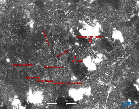 |
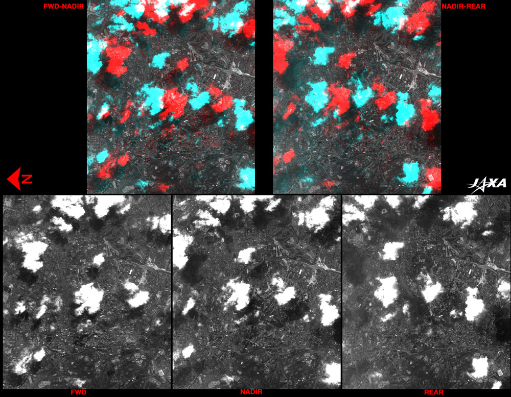
Fig. 1. Kuala Lumpur and Vicinity
Kuala Lumpur (kmz, 1.79MB, Low Resolution) as seen on Google Earth.
(Full Image) |
Figure 1 depicts Kuala Lumpur and its vicinity, as observed by the Panchromatic Remote-sensing Instrument for Stereo Mapping (PRISM) on board the Advanced Land Observing Satellite (ALOS) "Daichi" in July 2006. Dotted white clouds cast their dark shadows toward the lower left of the figure. Optical sensors cannot detect objects hidden below clouds, and the dark shadows make it difficult to distinguish ground objects.
Kuala Lumpur means "the confluence of muddy rivers" in Malay. The town was reclaimed for tin mine development in the mid 19th century. It prospered where the Klang and Gombak Rivers meet. At that time, the unearthed tin was washed in those rivers. Independence Square/Merdeka Square, west of the river junction, is easily identified as a square, open, grassy space. In 1957, the Federation of Malaya gained its independence from British rule, and the national flag was first raised at this location on August 31. Many buildings from the late 19th to early 20th centuries, constructed around Merdeka Square, are reminders of British colonial days.
The Congress Building is located at the end of the wide street that travels west from the north side of Merdeka Square. The forested area across the street is the Lake Garden. The large grey structure to the southeast of the Lake Garden is the national mosque, "Masjid Nagara," whose dark grey, circular pagodas are visible on its top. This mosque is intentionally conspicuous because, by law, the official religion of Malaysia is Islam. Kuala Lumpur Station is located to the east of the national mosque. This was once the terminal station of the Malaya Railway, which connected Singapore in the south, Tumpat near Kota Bharu in the east, and Butterworth near Penang Island and Hat Yai in southern Thailand in the north. Its function as terminal station was transferred to the Kuala Lumpur Central Station, which opened for public service in 2001.
Dense white clouds are visible northeast of Merdeka Square along the Klang River. South of the clouds, two buildings and their shadows are visible on the large, white, lower-level deck structure. The buildings are less recognizable due to the shadows extending in line with the row of buildings. These buildings are the world's tallest, the 88-story, 452m-high Petronas Twin Towers. Japan's Hazama Corporation built Tower 1, and Korea's Samsung built Tower 2. The world's tallest single building is the 508m-high Taipei International Financial Center (Taipei 101).
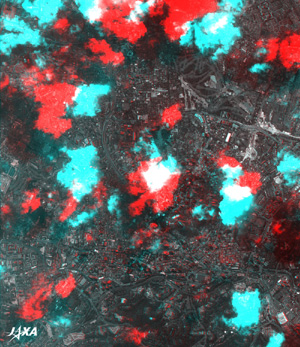 |
Fig. 2. Three-Dimensional View of the Twin Towers (North is to the Left)
(Staring at the image for a long time may cause eye-strain. A color print is available in pdf format. Pdf files for the left and right eyes are also available for stereoscopic viewing.) |
Figure 2 is a 3-D view combining the forward, nadir, and rear (backward) -looking images from the directional images captured by PRISM. Unfortunately, clouds hide the Twin Towers. The 3-D view is available only for the areas captured in common by the two images. The KL Tower (421m) and the cylindrical building between Merdeka Square and Kuala Lumpur Station particularly stand out in this image. Some bumpy ground areas are also visible in the Lake Garden. The 3D view of clouds is hardly visible because there is a time lag of approximately 90 seconds between the two images, and the cloud positions and forms change during that period. The forward-looking optical system (telescope) of PRISM views an area 300km ahead of the satellite. The rear-looking optical system views an area 300km behind it.
 |
| Fig. 3. Three Dimensional Views of the Twin Towers and Vicinity |
Figure 3 shows in order the forward-, nadir-, and rear-looking images of Kuala Lumpur and two 3-D images combined nadir-looking and other images. Changing cloud forms and drifting clouds, which interfere with ground objects, are noticeable.
Kuala Lumpur developed as the Malaysian capital, but its function is now being moved to Putrajaya, which is 25km south of Kuala Lumpur and is due to be completed in 2010.
Explanation of the Images:
(Figs. 1 to 3)
|
 |
|