Seen from Space 2004
Sea Ice Observation in the Sea of Okhotsk
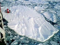
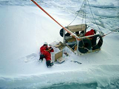
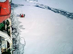
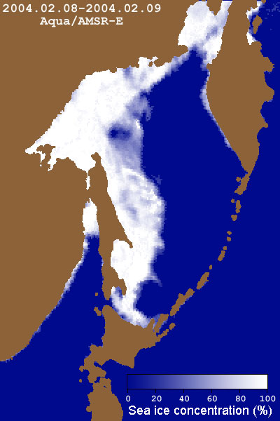
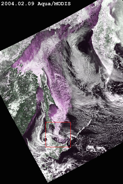
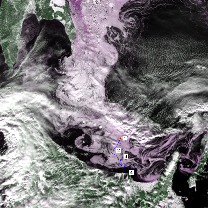
From February 5 to 14, 2003, sea ice was observed in the south of the Sea of Okhotsk. Sea ice is thicker this year than last year, and the average thickness in nine observation spots was 180 cm, 122 cm thicker than last year. The thickest ice was 269 cm, 87 cm thicker than last year. The thicker ice this year than last year in spite of a later advance southward is due to sea ice overlapping in the stormy sea caused by a low-pressure area passing over the Sea of Okhotsk in January. Images 1 and 2 below were acquired by AMSR-E and MODIS on February 9, the fifth day of the observation. The white area in image 1 and the purplish area in image 2 indicate sea ice. Image 3 is a close-up image of the encircled area in image 2. The blue line in image 3 indicates the observation boat's route of that day, and numbers 1 to 4 in the image correspond to the spots of photographs 1 to 4.
We update the pack-ice distribution in the Sea of Okhotsk daily in the "Pack-Ice Flash Report." revious topics about sea ice and ice pack |