Dataset
Global Mangrove Watch
1. Updates
| Aug. 05, 2022 |
Global Mangrove Watch (version 3.0) raster dataset was released.
|
|---|---|
| Nov. 05, 2021 |
Global Mangrove Watch (version 2.0) raster dataset was released. |
2. Overview
The Global Mangrove Watch (GMW) was established in 2011 under JAXA's Kyoto & Carbon Initiative. It is an international collaboration led by Aberystwyth University, solo Earth Observation, Wetlands International and The Nature Conservancy.
The Global Mangrove Watch (GMW) dataset (version 3.0) provides maps of estimated global extent and changes of mangrove forests derived from for eleven annual epochs between 1996 and 2020. See the K&C Global Mangrove Watch and Global Mangrove Watch Platform for further information.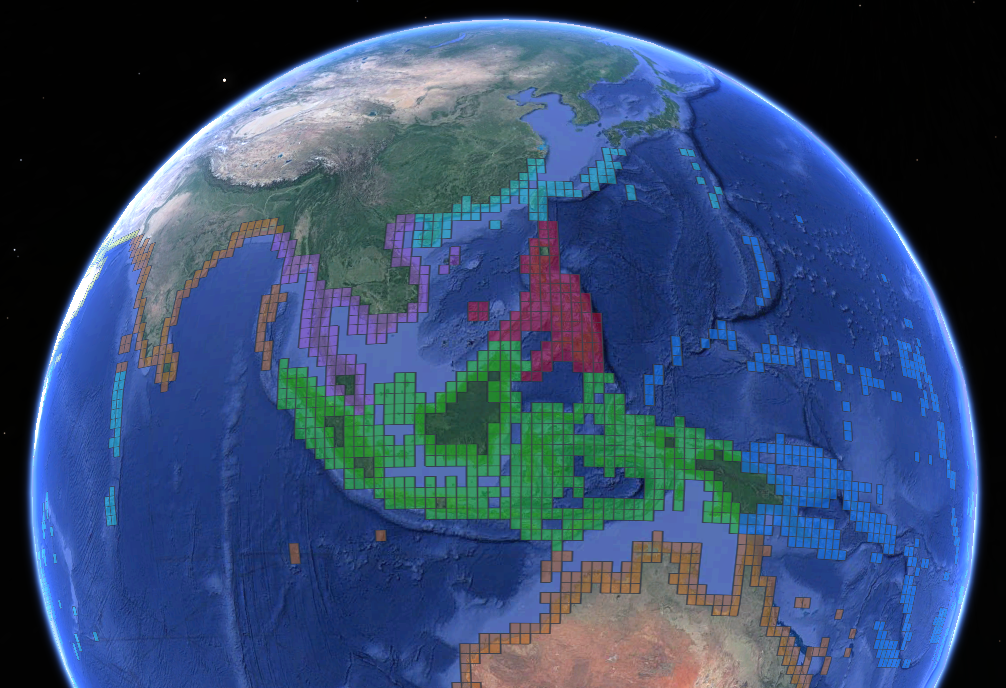
3. Dataset description
| Dataset name: | Global Mangrove Watch, version 3.0 |
|---|---|
| Content: | Mangrove geographical extent for the years 1996, 2007, 2008, 2009, 2010, 2015, 2016, 2017, 2018, 2019 and 2020 |
| Pixel spacing: | 25 m (0.000222 degrees) |
| Data type: | Raster (BYTE) |
| Pixel values: | DN=1: mangroves; DN=0: non-mangrove |
| Format: | GeoTIFF |
| Projection: | Geographic coordinates (WGS 84, EPSG=4326) |
4. Methodology
The GMW mangrove maps were derived from a combination of L-band SAR (JERS-1 SAR, ALOS PALSAR and ALOS-2 PALSAR-2) and optical (Landsat) satellite data. The methodology used to derive the maps are described in:
Bunting, Pete, Ake Rosenqvist, Lammert Hilarides, Richard M. Lucas, Nathan Thomas, Takeo Tadono, Thomas A. Worthington, Mark Spalding, Nicholas J. Murray, and Lisa-Maria Rebelo. 2022. "Global Mangrove Extent Change 1996?2020: Global Mangrove Watch Version 3.0" Remote Sensing 14, no. 15: 3657.doi.org/10.3390/rs14153657
5. Download
Please register your information from following URL to download the dataset. It is required your email address.
This is temporally registration (especially please check your email address again) and will send email you to accept your registration request. After the confirmation of your request, the download information will send by email.
The dataset download site is
6. Note for data use
The dataset is available for free public use under a Creative Commons license, Attribution 4.0 International (CC BY 4.0)
Users should keep in mind that the GMW dataset is a global-scale dataset, generated with a single methodology applied over all regions. As such, the accuracy of the map may vary between locations and with scale.7. Contacts
The ALOS-2/ALOS Science Project
Earth Observation Research Center (EORC)
Japan Aerospace Exploration Agency (JAXA)
E-mail: aprojectjaxa.jp
Dr. Ake Rosenqvist, GMW and K&C Science Coordinator
solo Earth Observation (soloEO)
Tokyo, Japan
E-mail: ake.rosenqvistsoloEO.com