| |
 |
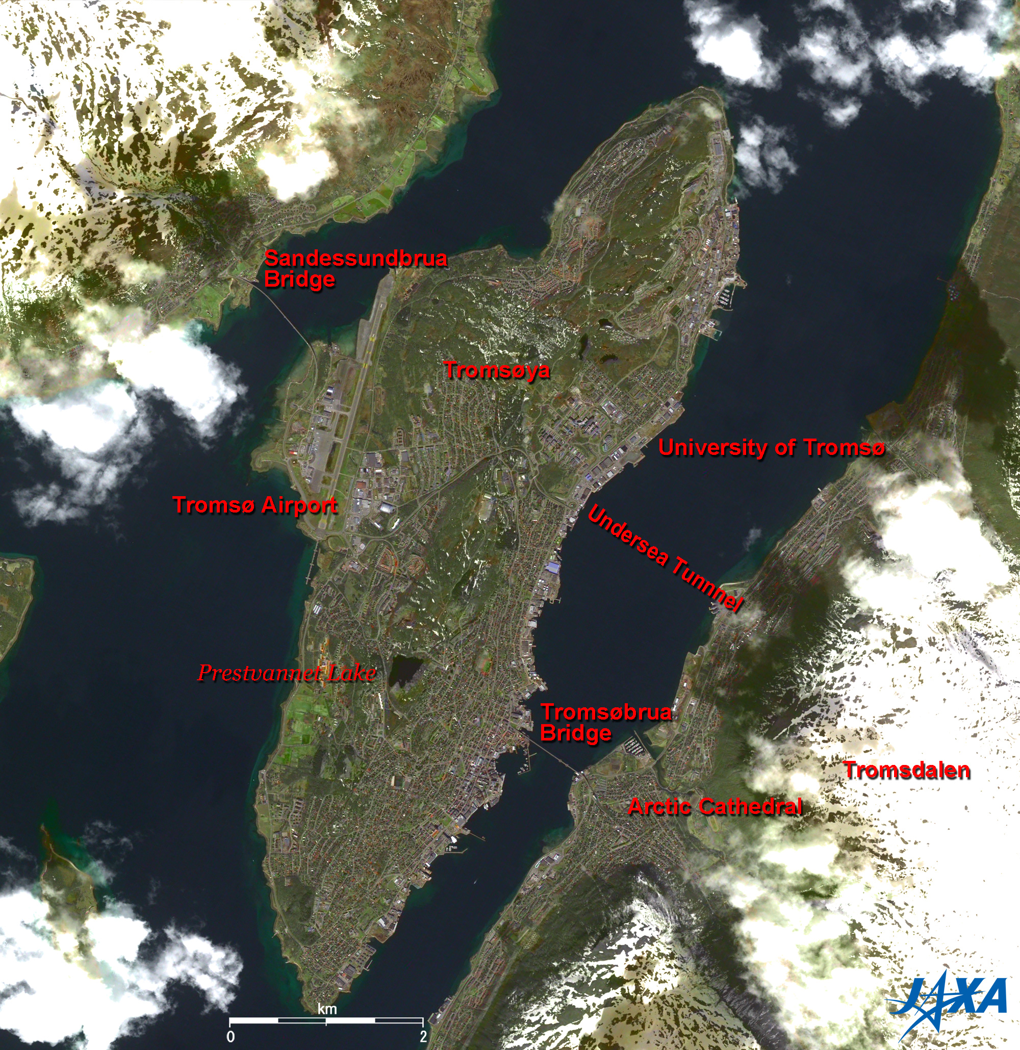
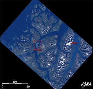
Fig. 1 Tromsøya Island
Tromsø (kmz, 2.45MB, Low Resolution) as seen on Google Earth. |
Figure 1 depicts Tromsø in the Arctic Circle and the Kingdom of Norway. Tromsø is a two-hour flight north from Oslo, the capital of Norway. It is located at 69°40′N, which is higher in latitude than Japanese Showa Base in the Antarctic (69°00′N). In spite of its location, however, the climate is rather mild due to the North Atlantic Drift and may even be milder than northernmost Hokkaido in Japan. In July 2007, the temperature exceeded 25°C. Some local people in Tromsø went shirtless and enjoyed a short summer.
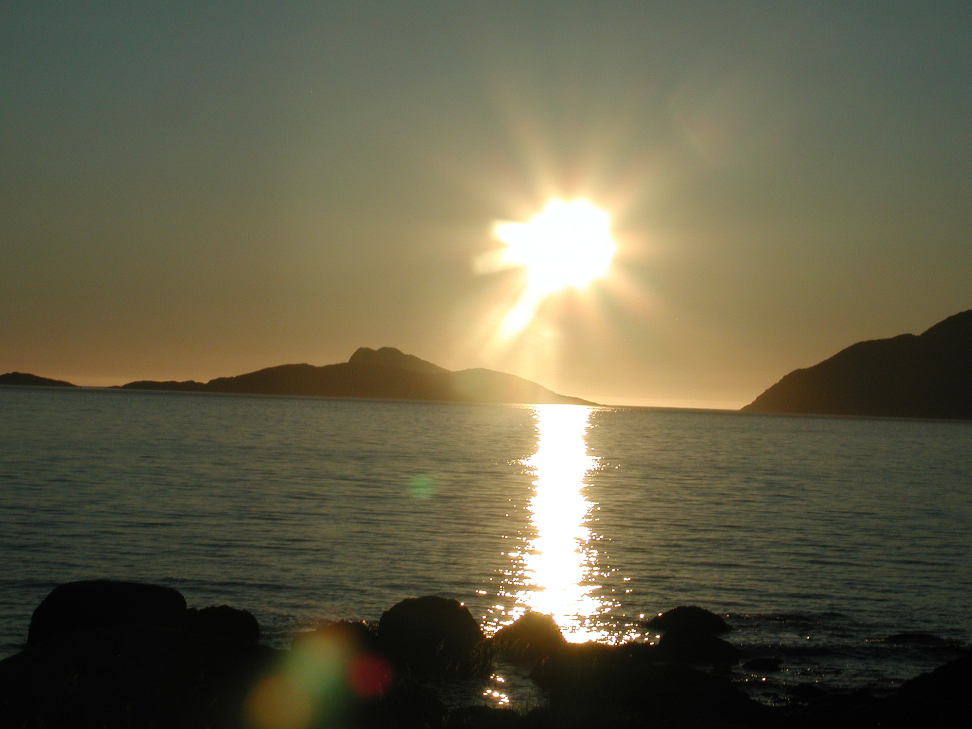
Tromsøya Island is in the center of the figure. Øya means island in Norwegian. To the right of Tromsøya Island is Tromsdalen in the Norwegian mainland on the Scandinavian Peninsula. Tromsø has a population of 60 thousand, which includes Tromsøya, Tromsdalen and the surrounding islands. Tromsø has both midnight sun and polar night and is visited by many sightseers all year round. The summer sun is above the horizon all day and shines with a golden glow after midnight. The midnight sun is visible from 21 May to 21 July. The winter sun is below the horizon all day, and auroras shimmer in the sky.
Tromsøya Island is a long, narrow and oval island with both sides scraped away by glaciers. Tromsø has good natural ports with flat water due to an inland sea with surrounding fjords and has prospered from old times.
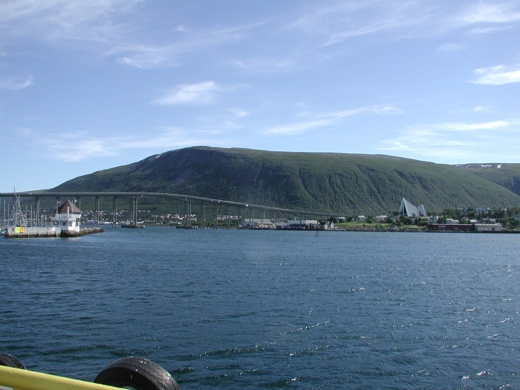
The central part of the town is in Tromsøya and is connected with Tromsdalen by the 1,036m-long Tromsø Bridge. The triangular white Arctic Cathedral is a landmark of Tromsø in Tromsdalen. It was designed for viewing auroras and winter scenes. Its 23m-high, 140m-square triangular stained glass is stunningly attractive. Midnight concerts are held there on summer nights. You can climb Mt. Storsteinen (421m), next to the Arctic Cathedral, by cable car. The view of Tromsøya Island, fjords and surrounding islands from the mountain top is magnificent. Tromsø airport is west of Tromsøya Island and connected with Oslo, the capital of Norway. Longyearbyen airport in the Svalbard archipelago is a major center of Earth science and observation. Tromsø University lies northeast of Tromsøya Island and is the center of Arctic and aurora science. A ski jump is also located near the university.
Tromsø is famous as a staging point for Arctic exploration. Roald Amundsen, a Norwegian hero and member of the first Antarctic expedition to the South Pole in 1911, was lost on a flight from Tromsø.
You can see a small lake, Prestvannet Lake, in the south central area of the island. It is a paradise for wild birds in the summer. A Norwegian space company's facility for receiving data from JAXA's Earth observing satellite Daichi is located near the lake. This facility will relay GOSAT data transmissions from Svalbard, a receiving station for GOSAT, to Japan
 |
| Fig. 2 Tromsø and its vicinity |
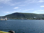
Figure 2 depicts Tromsø and its vicinity with its many islands and surrounding fjords. The land is divided into sections by steep mountains and fjords. You must often go a long way along a fjord to get to a village that seems just in front of you. Ships have been the major mode of transportation since the Viking days, but lifeline is adequate, with electric power lines stretching everywhere.
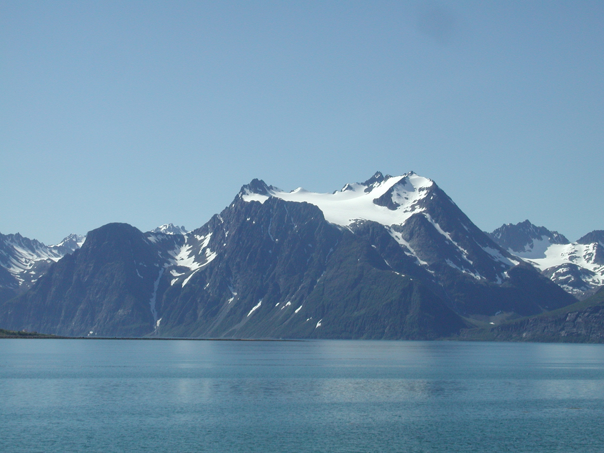
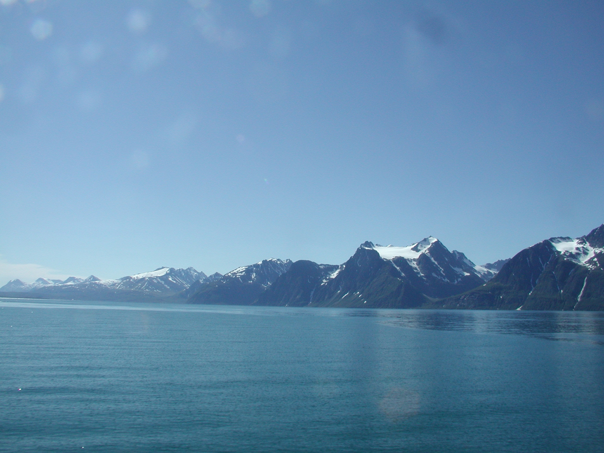
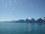
The large peninsula on the right of the figure contains the Lyngen Alps. Steep 1,800m mountains are mirrored beautifully on the fjord. In summer, melting water from snow gorges on the mountain tops forms waterfalls everywhere. The Lyngen Alps is popular among extreme skiers who take over a day to climb the mountain and then ski down in just 15 minutes. The Alps also provide habitat for eagles that nest in the cliffs.
 |
 |
 |
| Fig. 4 Tromsø Bridge and Arctic Cathedral |
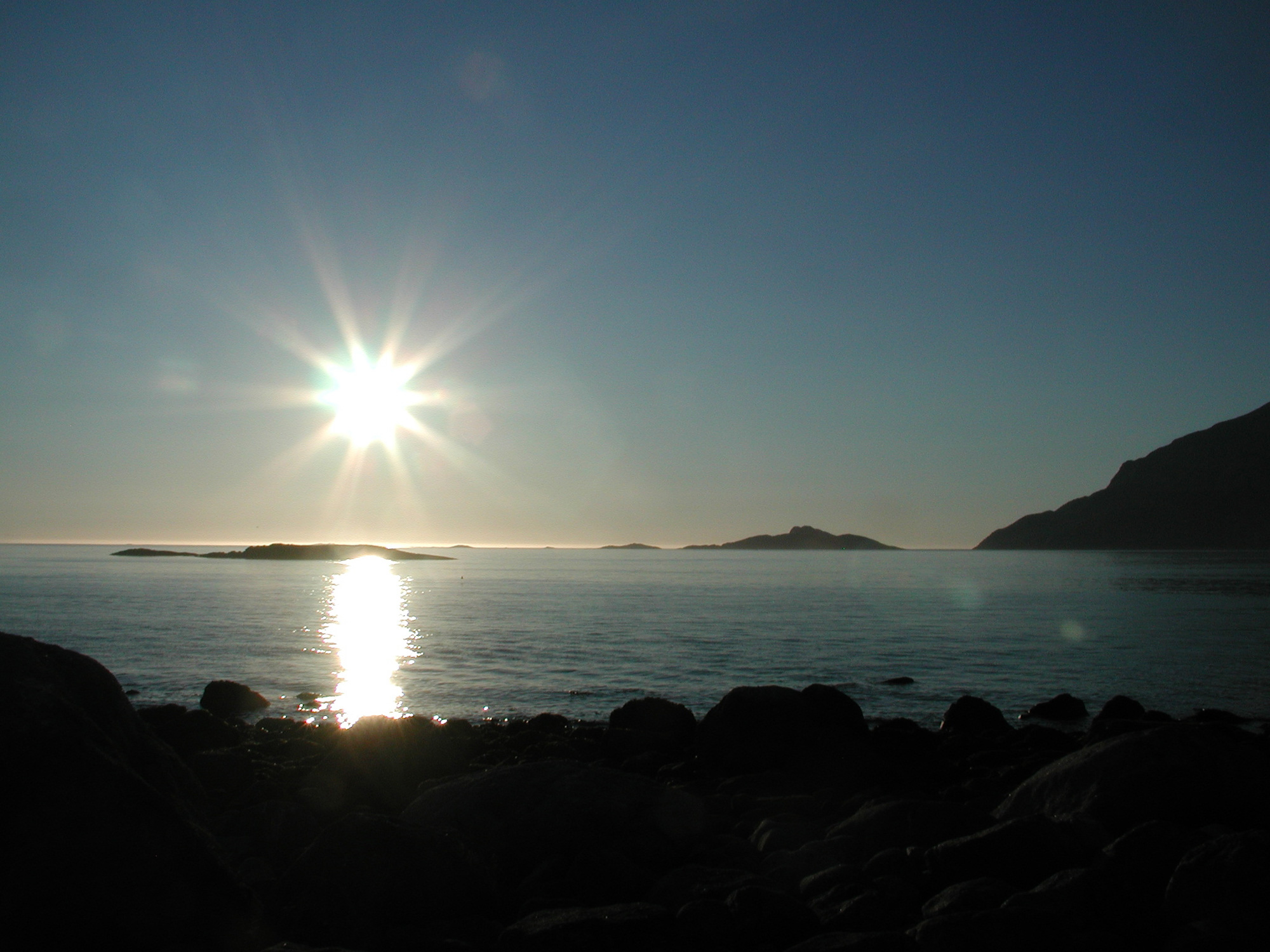
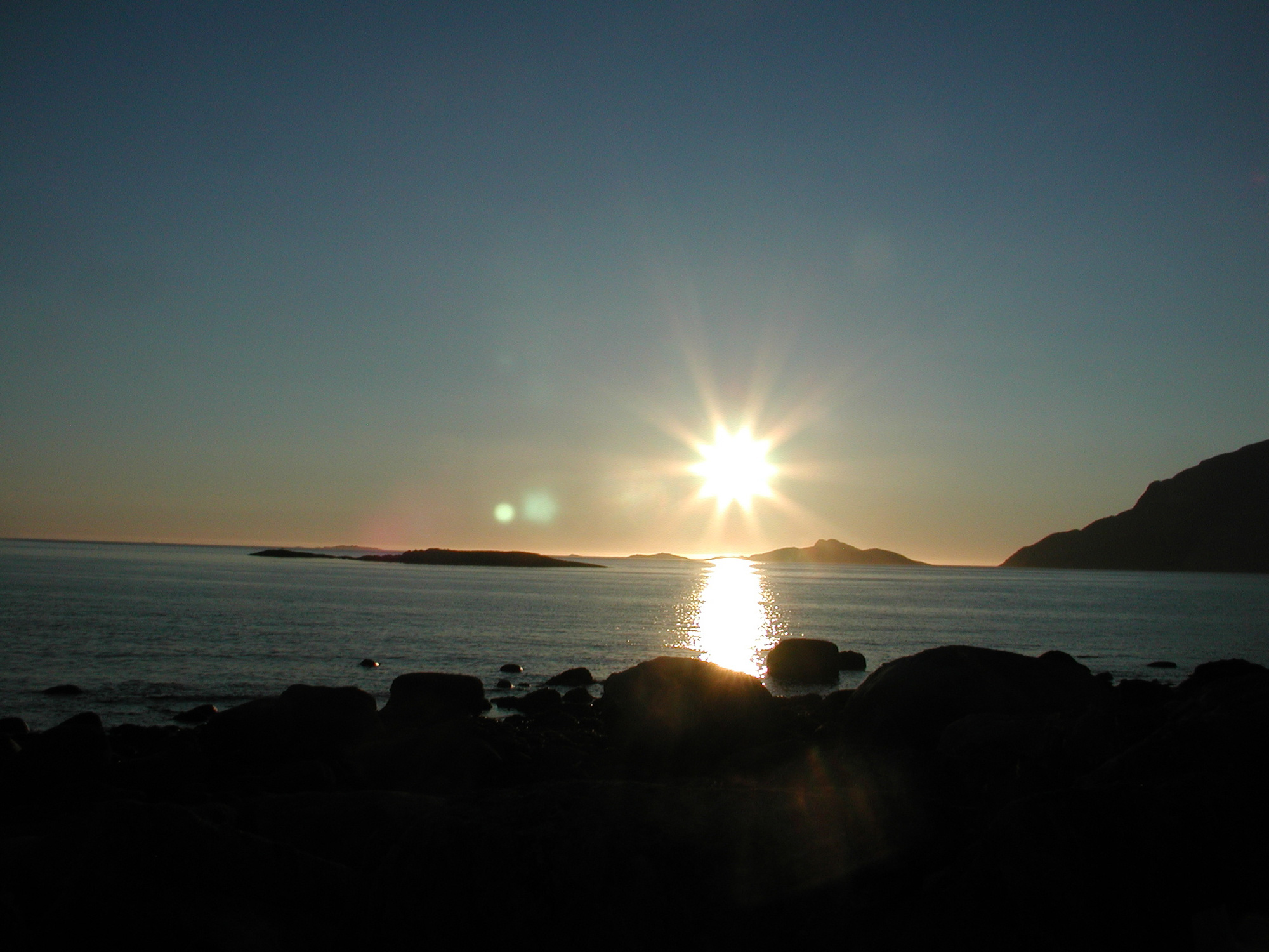
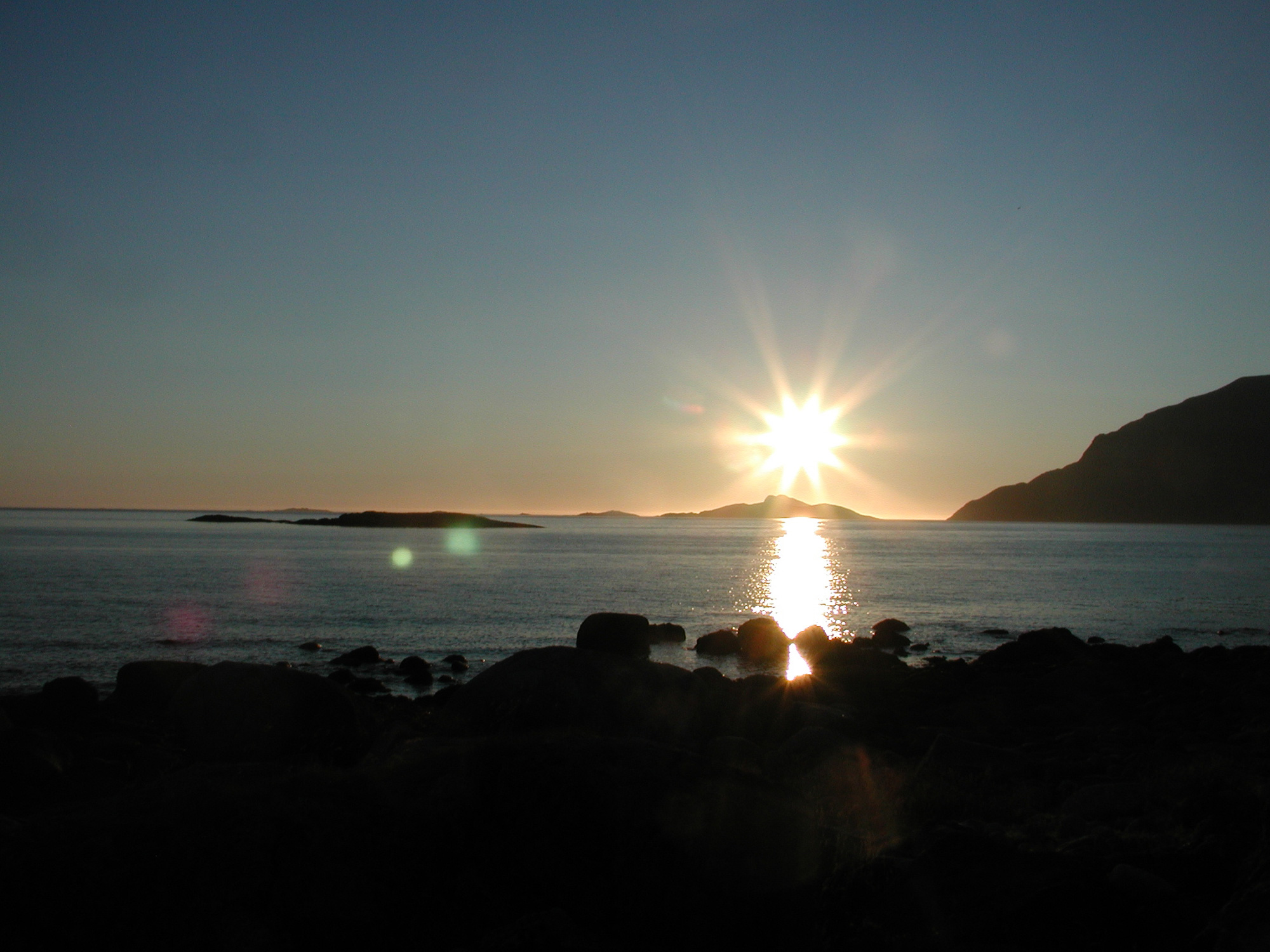
Fig. 5 Lyngen Alps |
Figure 3 depicts the midnight Sun; Fig. 4, the Tromsø Bridge and Arctic Cathedral; and Fig. 5, the Lyngen Alps.
Explanation of the Images:
Figs. 1 and 2. Full Image. Click the images twice to enlarge them.
PRISM is an optical sensor for observing ground surfaces in the visible and near-infrared wavelengths (520 to 770 nano-meters (one nanometer is one-billionth of a meter)). The acquired image is monochrome. PRISM has three independent optical systems (telescopes) that acquire images for nadir, forward, and backward views at the same time. Only the nadir image was used in this article.
AVNIR-2 is equipped with a pointing function by which it can shift its observation area perpendicular to ALOS's direction of travel and has four observation bands. The composite images are usually produced by assigning red to Band 3 (610 to 690nm), green to Band 2 (520 to 600nm), and blue to Band 1 (420 to 500nm). The AVNIR-2 composite image was then transformed into hue, saturation and intensity, and the intensity was replaced by the PRISM image. The hue, saturation and intensity data were then reversed into a color image, producing a virtual 2.5m ground-resolution color image. This kind of high-resolution color image, composed by combining a higher-resolution monochrome image and a lower-resolution color image, is called a pan-sharpened image. Figure 1 presents high-resolution, pan-sharpened images composed this way.
The resulting image has natural coloring as if seen by the naked eye. Thus the following colors represent ground objects.
| Green: |
Farmland or forests |
| Grey: |
City area or roads |
| Blue: |
Water surfaces |
| White: |
Clouds and snow |
| Black: |
Cloud shadows or no data |
|
 |
|