| |
|
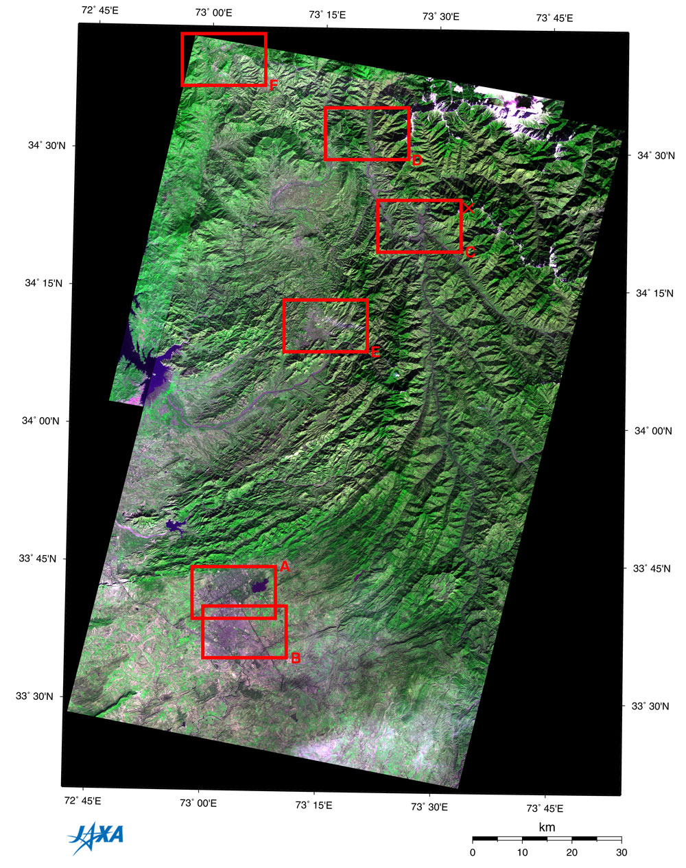
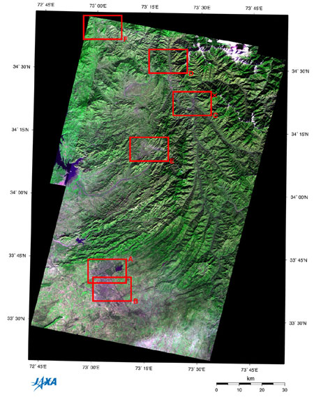
| *Click on boxes A to F to enlarge picture |
The figure depicts northern Pakistan as observed by AVNIR in January 1997(and the Optical Sensor aboard JERS-1 partially). Most of the area consists of a steep mountainous region, with many criss-crossing ridge lines and valleys. The plateau ridges curve in a northeast-southwest direction, indicating that this whole area receives a strong force from the southern direction. The capital city Islamabad and the neighboring historical city Rawalpindi can be seen at the bottom of the figure. You can see the part of the Tarbela Reservoir made by damming the Indus River on the left. The X in the upper right of the figure indicates the epicenter* of the earthquake with a magnitude of 7.6 that occurred on October 8, 2005. Muzaffarabad, which suffered from the earthquake, is located 14 km west of the epicenter; Balakot, 28 km northwest; Abbottabad, 40 km southwest; and Batagram, 62 km northwest.
Frame A is an expanded image of Islamabad. It clearly shows that the land was intentionally designed as a block with a square base unit about 2 km on each side.
Frame B is an expanded image of the city area in Rawalpindi. The Islamabad Airport is nearer Rawalpindi than Islamabad.
Frame C is an expanded image of Muzaffarabad. The town is situated on the valley where the Jehlum River changes flow sharply in the south from the northwest and joins the Kishanganga River.
Frame D is an expanded image of Balakot that is situated in the valley along the Kunhar River.
Frame E is an expanded image of Abbottabad, a summer retreat at the highland.
Frame F is an expanded image around Batagram where the Japan Disaster Relief (JDR) rescue team and the JDR medical team work.
Our heartfelt sympathy goes out to all who suffered from this disaster, and we pray that they will soon recover from the disaster.
Explanation of the images:
Figure and Frames A to E
| Satellite: |
Advanced Earth Observing Satellite (ADEOS) |
| Sensor: |
Advanced Visible and Near-Infrared Radiometer (AVNIR) |
| Date: |
January 9, 1997 |
| Ground resolution: |
16 m |
| Map projection: |
Universal Transversal Mercator (UTM) |
|
The color composition was made by using three out of four AVNIR bands: visible (610 to 690 nm, band 3) for red, near infrared (760 to 890 nm, band 4) for green, and visible (420 to 500 nm, band 1) for blue. As a result, the figures have a natural coloring, with vegetation slightly emphasized. You can interpret these images as follows.
|
| Green: | Forests or grasslands |
| Grayish purple: | City area or dry riverbed |
| Ocher: | Exposed soil or rock |
| White: | Building, snow or clouds |
| Dark purple: | Water surfaces |
| Black: | Water surfaces, deep shade, or no data |
Northwestern area of Fig. and Frame F
| Satellite: |
Japanese Earth Resources Satellite -1 (JERS-1) |
| Sensor: |
Visible and Near Infrared Radiometer (VNIR) |
| Date: |
September 29, 1993 |
| Ground resolution: |
18.3m x 24.2m |
| Map projection: |
Universal Transversal Mercator (UTM) |
| These images were produced by assigning red to the visible channel (630 to 690 nm), green to the near-infrared channel (760 to 860 nm), and blue to the visible channel (520 to 600 nm). You can interpret the resulting images in the almost same way as the above AVNIR images. |
|
 |
|