|
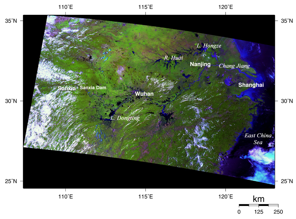
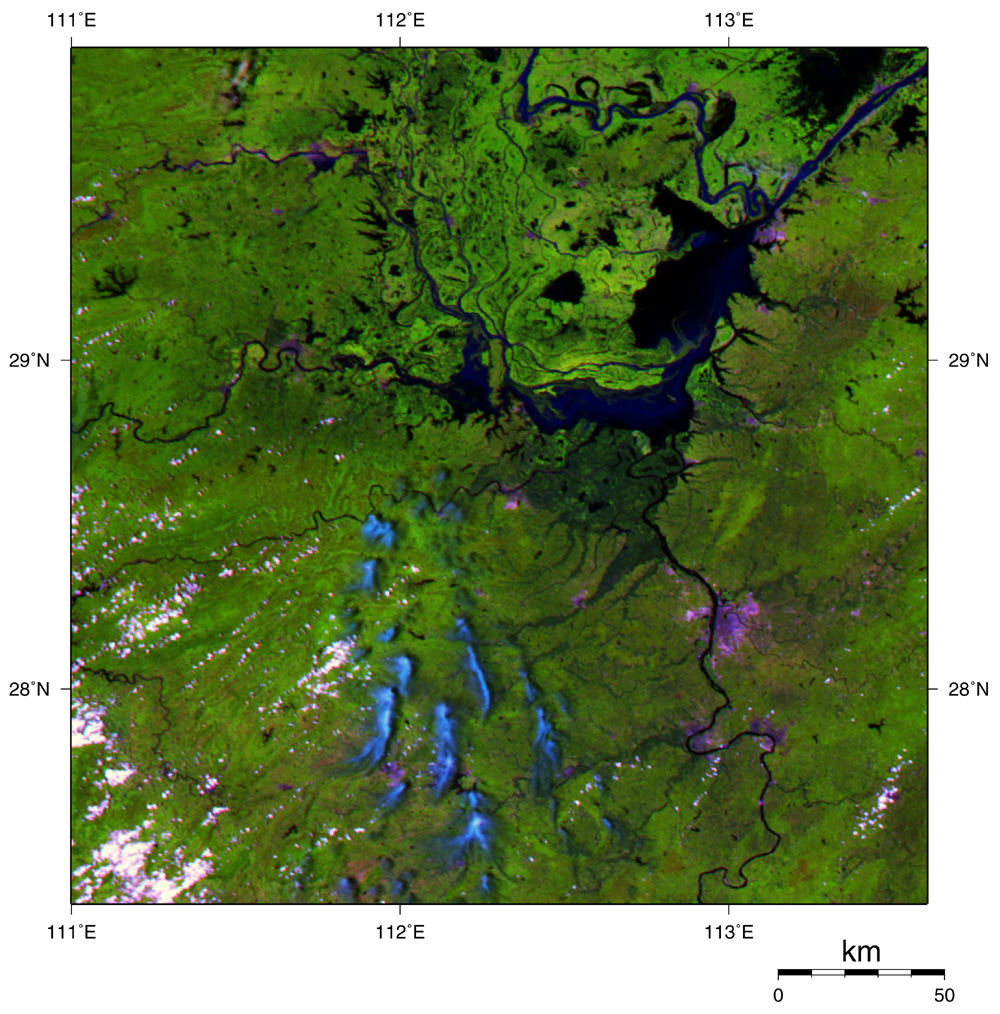
This composite image was acquired by GLI on July 27, 2003 using its 250m resolution spectral channels. Greenish yellow indicates farm or grassland; green and rich green, forest; black and dark blue, water area such as rivers, lakes, or the sea; purplish red, non-vegetation area such as bare land or urban area; and white and light blue, clouds.
The coast of the East China Sea in the right of the image seems dark blue, that means it is muddy sand. The river crossing the image from the east to the west is Chang Jiang.
We can see another water area in the upper right of the image, which extends like branches. This is the Huai River, which suffered the biggest losses since 1991 due to flooding caused by continual rain from late June to middle July. Here we show an enlarged area of the above image, and the image of April 26 side-by-side.
|
|
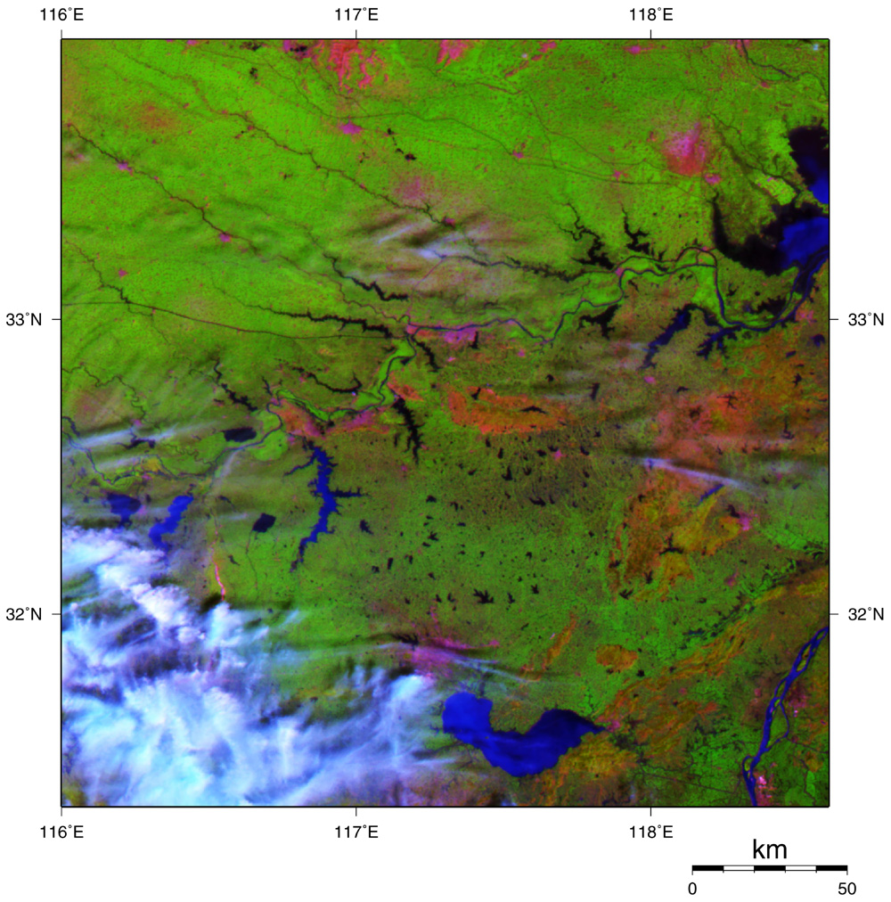
Huai River April 26,2003 |
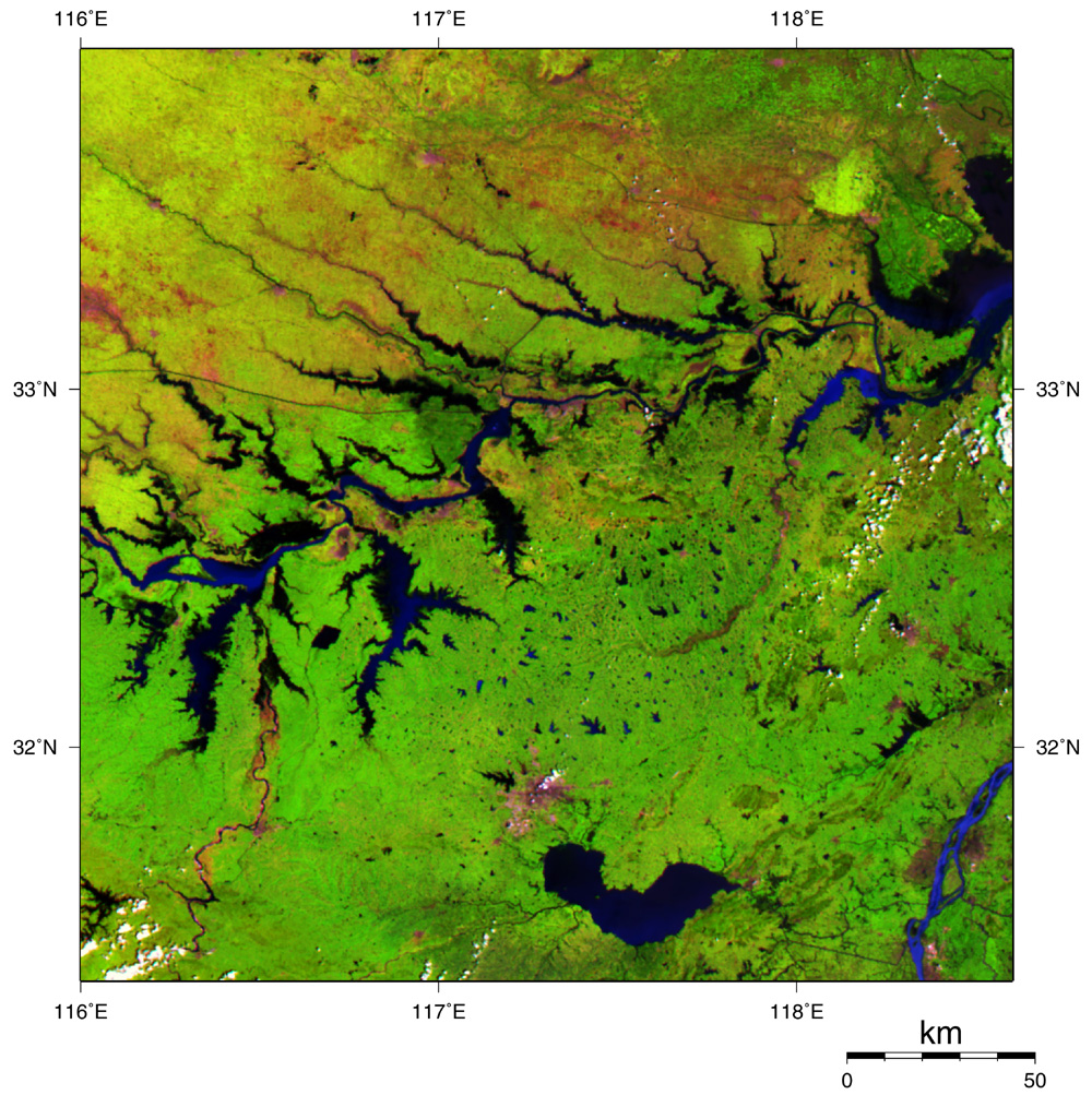
Huai River July 27,2003 |
On the enlarged image of July 27, the mainstream of the Huai River is wider, and many of its branches have flooded and look like lakes. Also, we can see some canals flowing straight, unlike natural rivers. The northern area of Huai River, which can be thought to be wheat field or paddy field, seems greenish yellow or light brown. That means it is harvest time in this area.
|
|
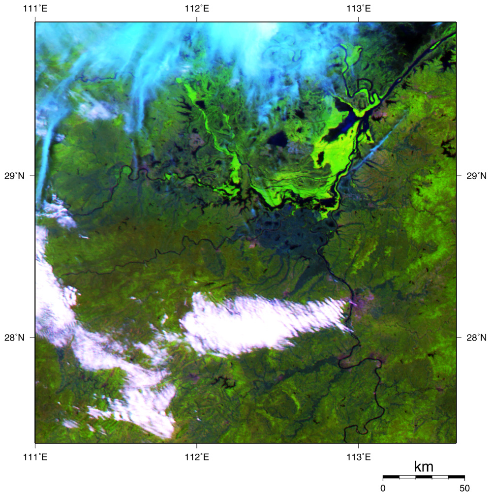
Lake Dongting April 26,2003 |
Lake Dongting July 27,2003 |
Also, we can see Lake Dongting became bigger and rivers around it became wider by comparing images of April 26 and July 27.
All of these images were generated from GLI spectral channel 28 (1640 nm) of short-wavelength infrared band in red, channel 23 (825 nm) of near-infrared band in green, and channel 22 (660 nm) of visible band in blue. |