Image Library
North-west view of landslide area in Leyte Island, Philippines
As the two radars used for the analyses, the PALSAR of the Daichi and the SAR of the Fuyo-1, share almost the same characteristics (such as radio frequencies), as well as the incident angles being almost the same, we can study the difference before and after the crisis by overlapping the images in a relatively simple way. For underscoring the difference, the image taken by the Fuyo-1 is colored with blue and green, and the one taken by the Daichi with red to make a color composite image. By doing so, we can confirm the geographic change in mountainous area and difference of brightness in the flatland. The brighter the area has become, the redder they are in the image.
Left image is a bird's-eye view of those changes explained above observed from the north east. The height information was acquired from the global altitude data with a 90-meter resolution that was compiled by the cooperative analysis of each country based on data observed by the Space Shuttle Endeavour mission which Astronaut Mori of JAXA participated in. In Left image, you can see the smooth area on the slope on the east side of the rigid line on the right-hand side of the image, but it was created due to the relative position between the inclination angle of the radar wave and the slope, thus it does not indicate the landslide.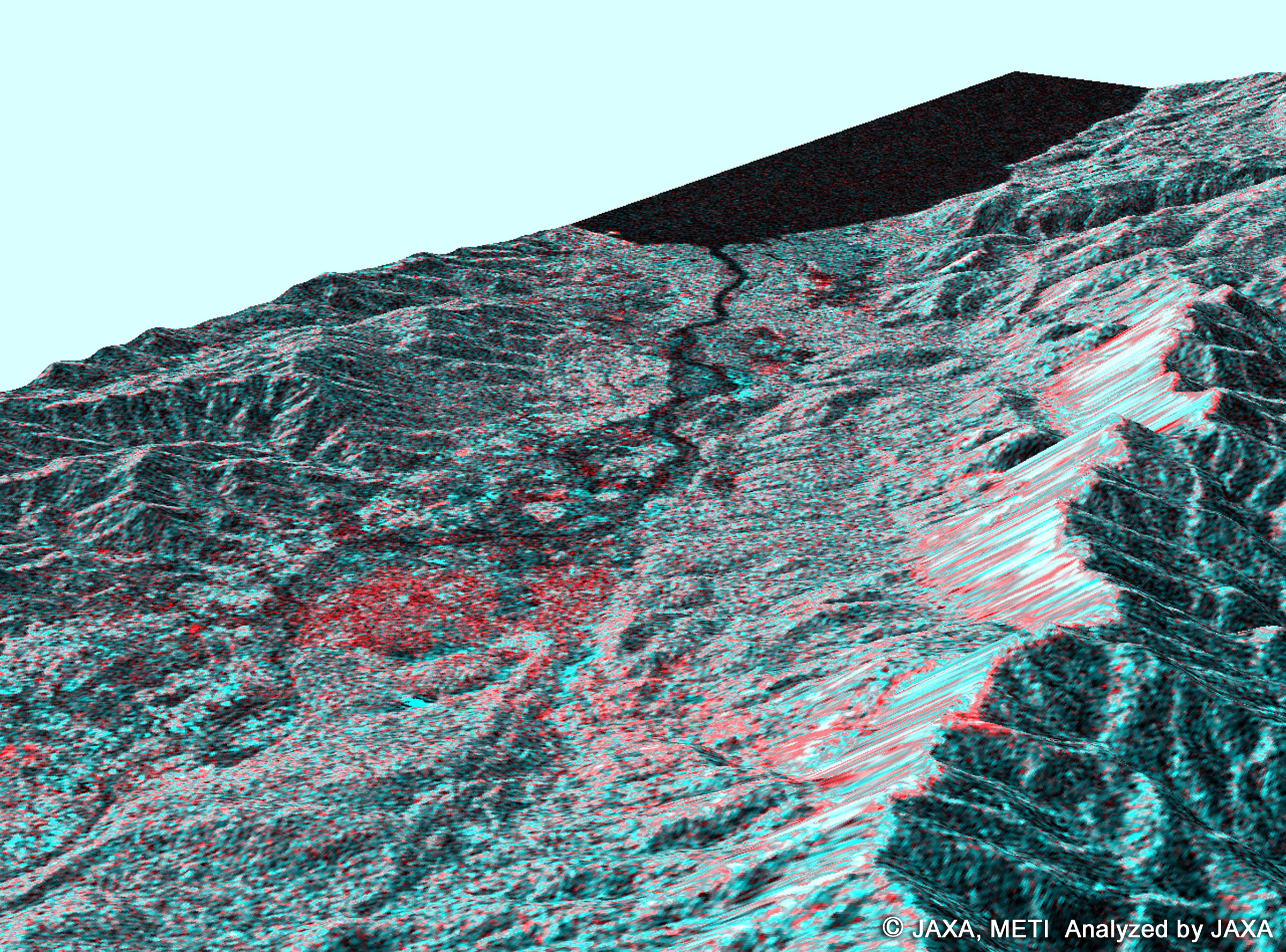
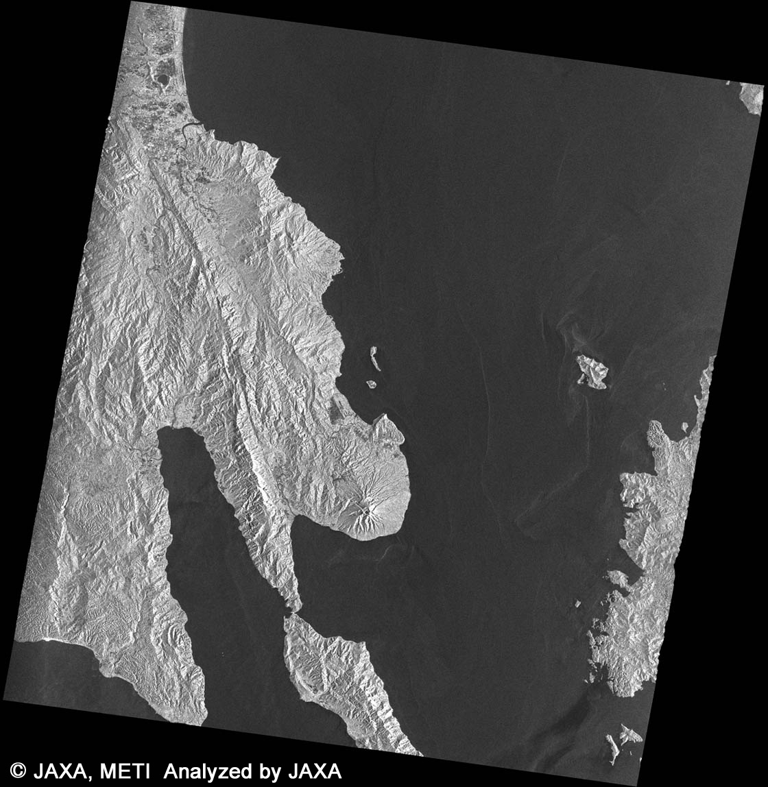
Color composite image with observation data by the PALSAR and JERS-1/SAR (R: PALSAR, G and B: SAR)
The area circled by yellow dots is estimated as a disaster stricken area based on the color composite image.
- ALOS/PALSAR
- observation: Feb. 24, 2006 (JST)
- JERS-1/SAR
- observation: Feb. 2, 1996 (JST)
- Longitude and latitude around the landslide stricken area
- Around 10°20' N, 125°5' E