Image Library
Comparison of Two Images Taken by "Daichi" -Pre-disaster and Post-disaster- (PANDANGARAN, the South of Java, Indonesia)
Figure 1 is a comparison of images around Yogyakarta taken by the Phased Array type L-band Synthetic Aperture Ra"Daichi" (ALOS; Advanced Land Observing Satellite) observed one of the Tsunami-damaged areas near PANDANGARAN, the South of Java, Indonesia by AVNIR-2 (Advanced Visible and Near Infrared Radiometer type 2) (spatial resolution 10 m) on July 21.
Comparing this AVNIR-2 image with a pre-disaster image taken by PRISM (Panchromatic Remote-sensing Instrument for Stereo Mapping) (spatial resolution 2.5 m) on July 4, some changes can be identified as seen in Figs. a, b and c.
JAXA has provided these images to BAKORNAS PBP in cooperation with Asia Disaster Reduction Center (ADRC).-
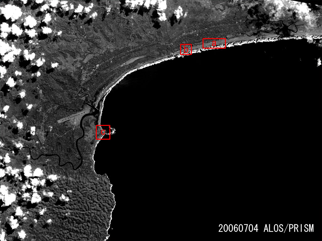
Fig. 1
-
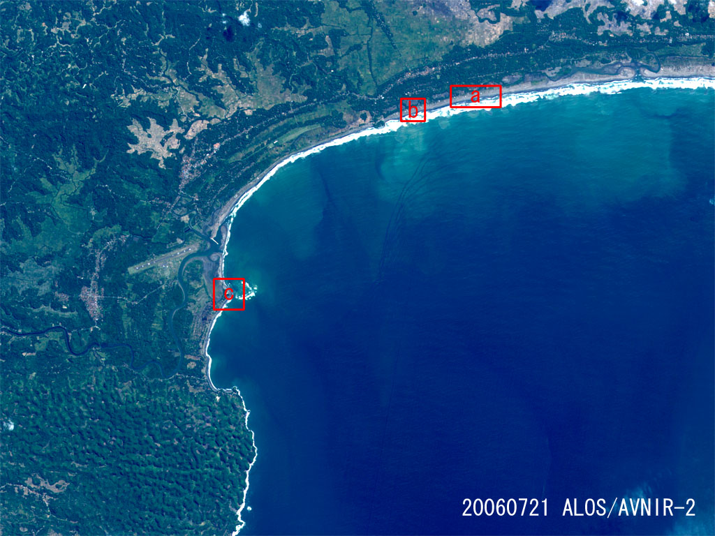
Fig. 2
Fig. 1: Comparison of Two Images Taken by "Daichi" -Pre-disaster and Post-disaster-
(PANDANGARAN, the South of Java, Indonesia)
(Click to view enlarged image)
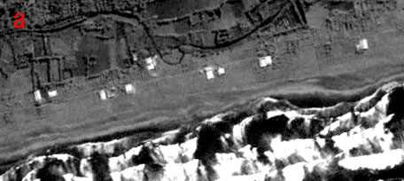
Fig. 1,a
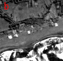
Fig. 1,b
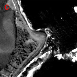
Fig. 1,c
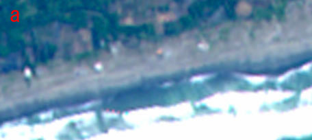
Fig. 2,a
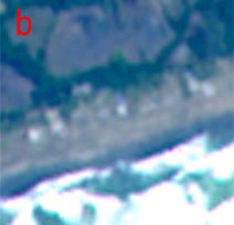
Fig. 2,b
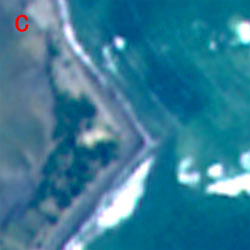
Fig. 2,c
JAXA