Image Library
ALOS-2/PALSAR-2 Observation Results of mudslides in Hiroshima city
Landslides induced by heavy rain occurred on August 20, 2014 in Hiroshima city, Hiroshima prefecture. Japan aerospace and exploration agency (JAXA) conducted the emergency observation on August 22, 24, and 26 with Phased Array Type L-band Aperture Rader-2 (PALSAR-2) onboard the Advanced Land Observing Satellite-2 "DAICHI-2" (ALOS-2). Figs. 1 show the observation area (red polygon) and satellite orbit (blue line).
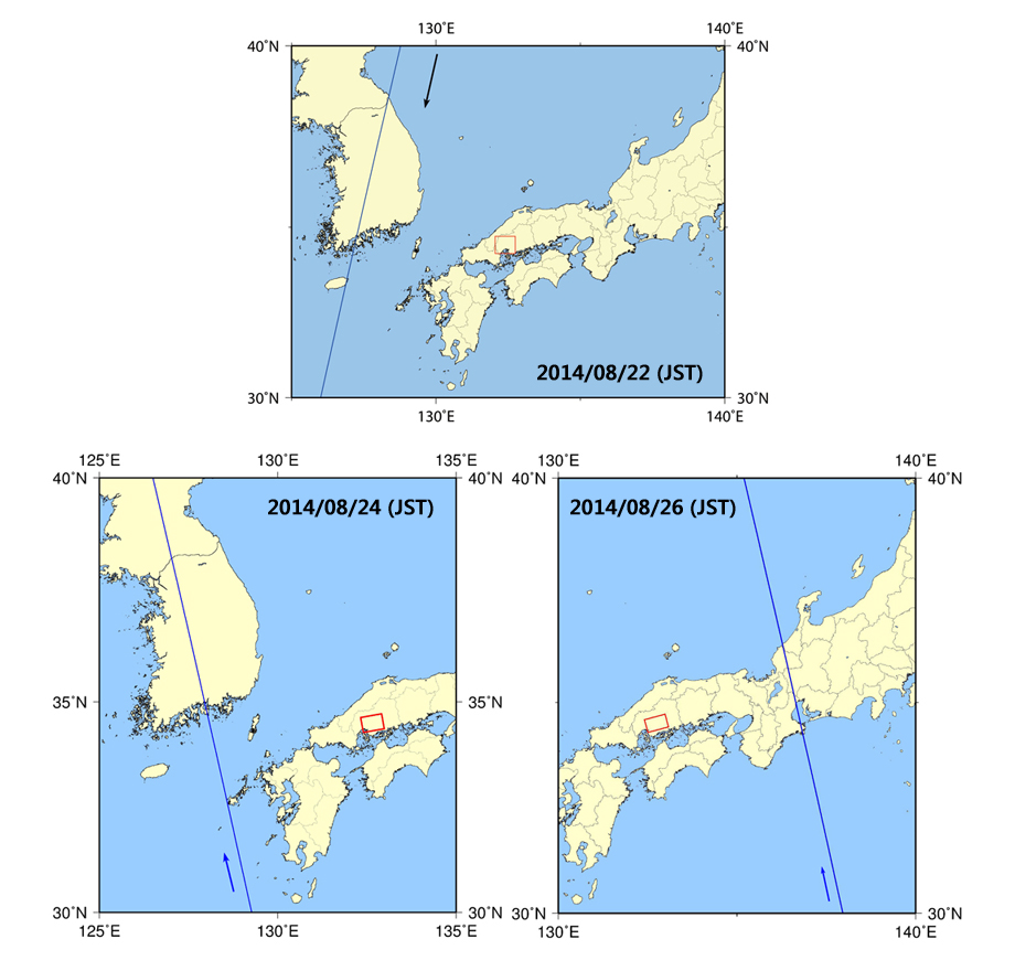
Fig.1: Observation area (red polygon) and satellite orbit (blue line)
upper: Aug. 22, Left lower: Aug. 24, Right lower: Aug. 26
Fig. 2 shows color composite PALSAR-2 observation image with 3m spatial resolution and dual polarization mode on Aug. 26. Red rectangular represents the disaster areas.
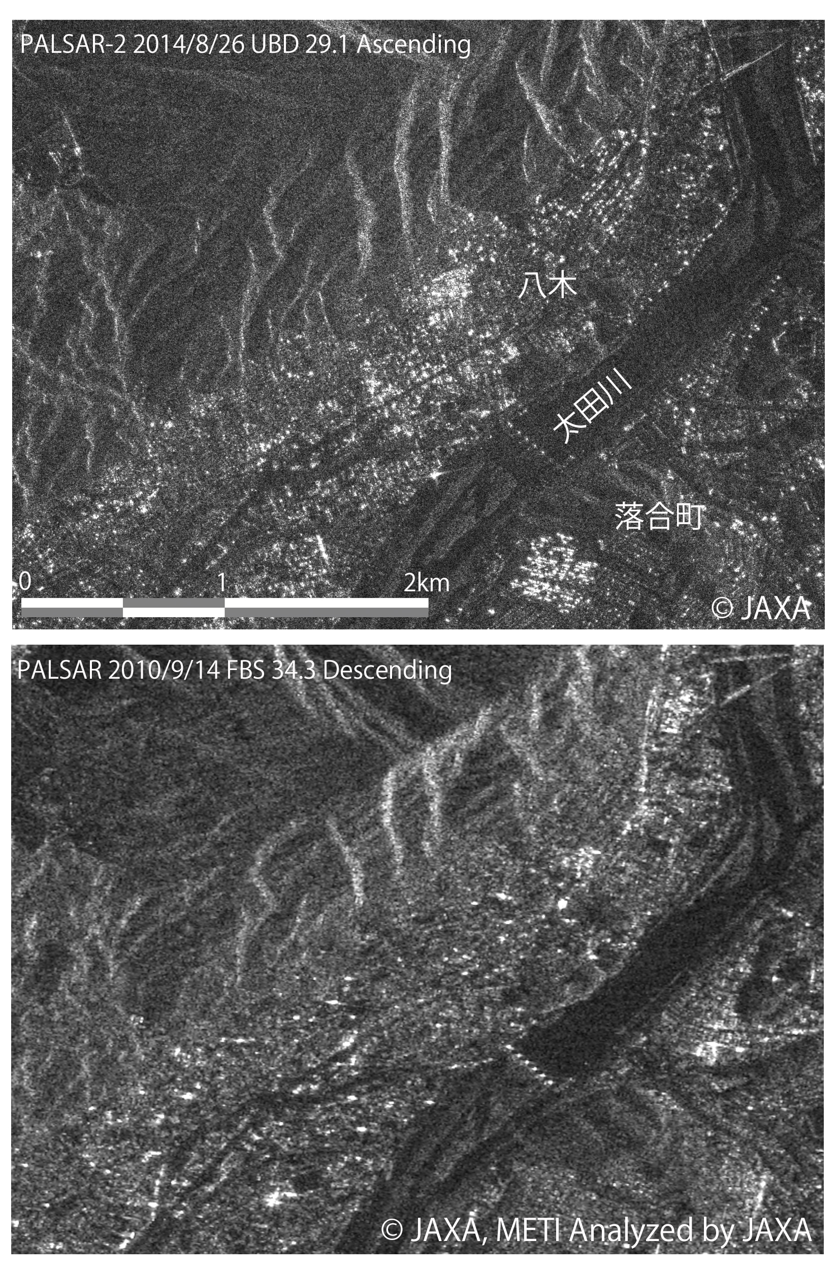
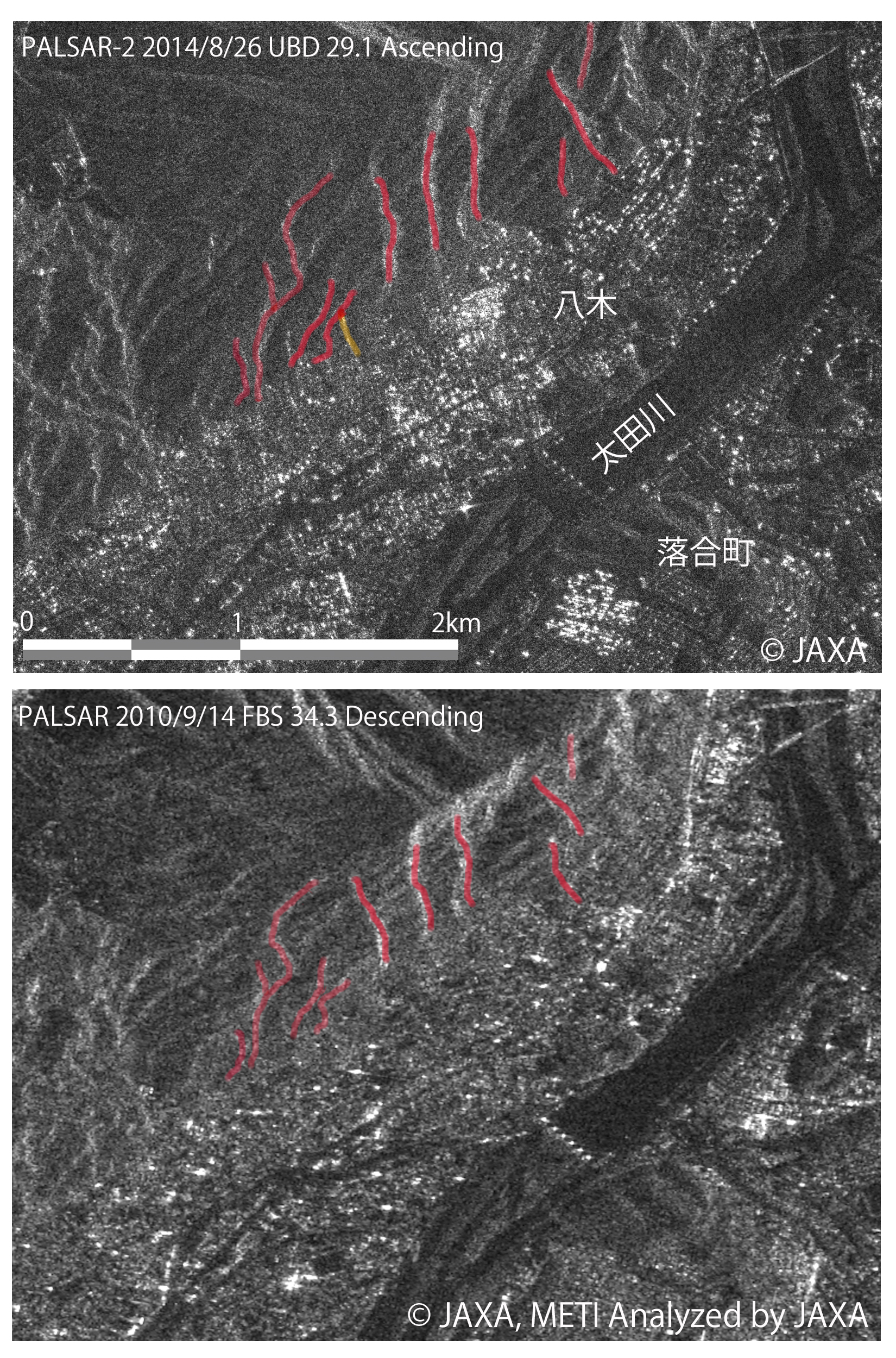
PALSAR-2 image obtained in Asaminami-ku is compared with the PALSAR on-board ALOS image with HH polarization (Fig. 3). Linear structures were picked up, and drawn in red line in Fig. 4. Additional linear structures were observed in PALSAR-2 image, and this may be due to a topographic change due to the landslide.
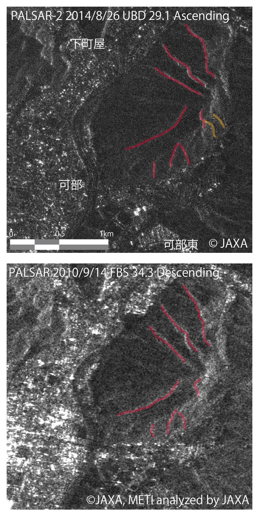
(Note: Bright linear structure is emerged at mountain ridge line in a SAR image, because of oblique observation.)
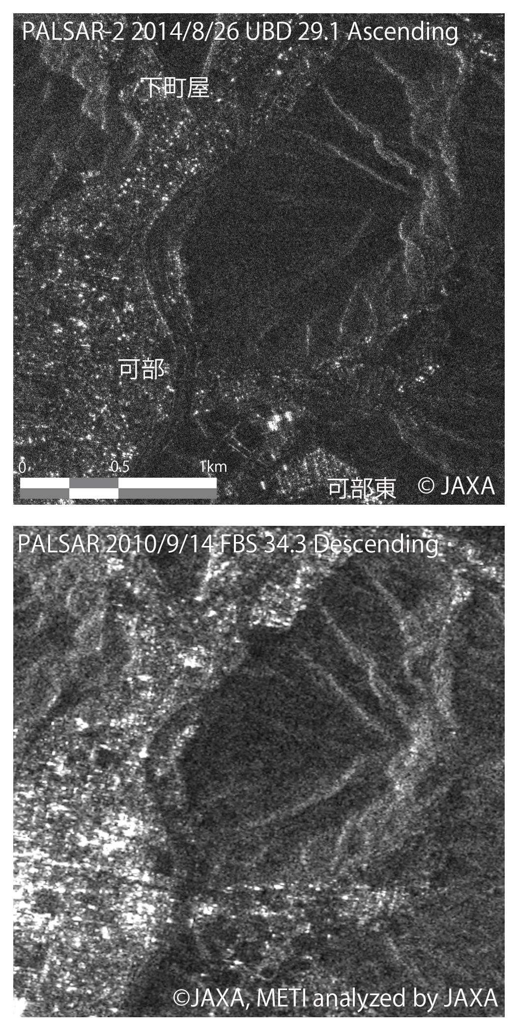
Lineament analysis was also applied for the Takamatuyama area in Asakita-ku (Fig. 5, 6)
JAXA EORC

