Image Library
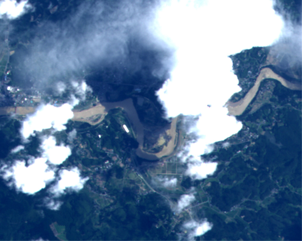
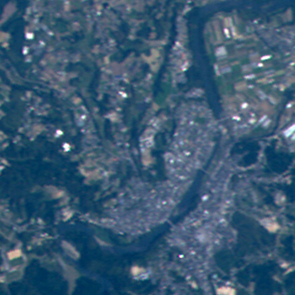
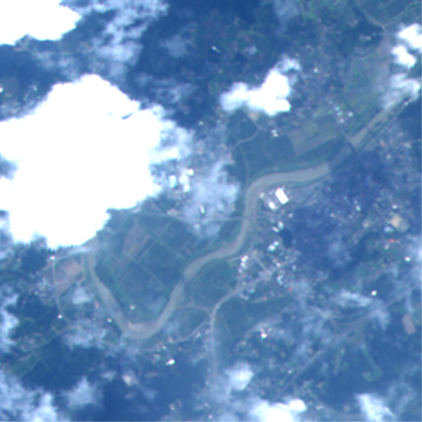
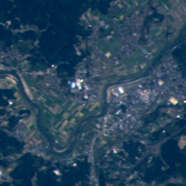
Heavy rain areas in Kagoshima Pref., Japan observed by "Daichi"(ALOS) in July, 2006
Below are images of heavy rain areas in Kagoshima Pref. taken by AVNIR-2 of "Daichi" (ALOS: Advanced Land Observing Satellite). on the left re post-disaster images taken on July 25, 2006 while right are pre-disaster images taken on May 4, 2006. By comparing the left images with the right some changes can be seen in the river and their vicinity. No flood areas can be identified from these images.
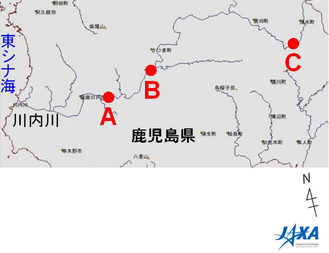
Outline Map
A.Kuju, Satsumasendai City (Click to View Enlarged Image)
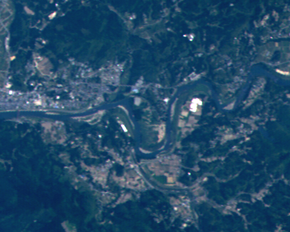
B.Satsuma-cho (Click to View Enlarged Image)
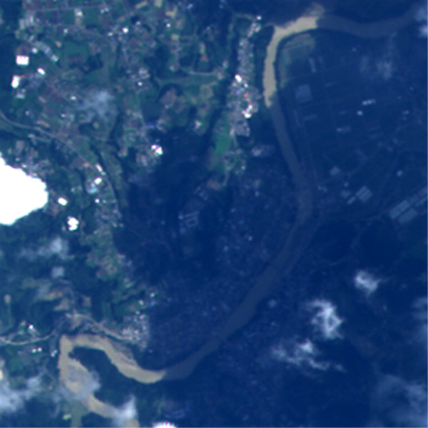
C.Kurino, Yusui-cho (Click to View Enlarged Image)
The selection of the areas is based on a website of land, Infrastructure and Transportation Ministry.
White parts in the images show clouds and large dark parts are cloud shadows.
Contact
Shoji Matsubara
Planning Manager, Disaster Management Support Office (DMSSO)
Japan Aerospace Exploration Agency (JAXA)
Phone: +81-3-3516-9155, FAX: +81-03-3516-9160
©JAXA