ALOS
Use DATA
Document - Tool
- PALSAR baseline calculator Ver. 2.1 -
We will distribute the PALSAR baseline calculator that gives the perpendicular baseline of any combination of the PALSAR modes over assigned geographical location and search duration. This may help you to select the PALSAR image pair for InSAR application.
(Tool distribution was ended)
(Tool distribution was ended)
- README_EN_212.pdf (pdf file / 1.15MB)
- Linux: CalcBp_21.tar.gz (gzip Compress / 916KB)
- Windows XP SP2: CalcBp_win_21.zip (zip Compress / 26KB) Pentium 4, 32bit
- Macintosh OS X: CalcBp_mac_21.zip (zip Compress / 26KB) PowerPC G4
- ALOS Reference System for Planning (RSP) map -
Path Map : Please download the map for each observation mode from below.
Page size is setting the A-0 size (1189×841 mm) for the world maps, and the A-3 size (420×297 mm) for Japan.
The pointing angles are assumed +1.2 degree for PRISM, and 0.0 degree for AVNIR-2.
Product Format
Please note that these documents will be revised, if necessary. (Last Update: Jul. 4, 2017)
Document - Level 1 Product Format
| NEB-01006(ALOS-DPFT-J01) | ALOS PRISM Level 1 Product Format Descriptions Rev.J, October 2006 -- Format itself has not been changed. Additional explanation added. |
|---|---|
| NEB-01006(ALOS-DPFT-J02) | ALOS AVNIR-2 Level 1 Product Format Descriptions Rev.J, October 2006 -- Format itself has not been changed. Additional explanation added. |
| NEB-01006(ALOS-DPFT-J03) | ALOS PALSAR Level 1 Product Format Description (Vol.1: Level 1.0)Rev.J, October 2006 -- Format itself has not been changed. Some offset values modified from the result of initial Calibration. |
| NEB-070062B(ALOS-DPFT-J04) | ALOS PALSAR Level 1 Product Format Description (Vol.2: Level 1.1/1.5) Rev.L, July 2009 |
| ALOS GeoTIFF Products Format Description | |
| Additonal volume: How to use the restore batch file for Level 1 product January 2005 | |
| ALOS Data Users Handbook Rev.C, March 2008 |
ALOS User handbook
NDX-070015
Contents
- ALOS Science Program
- Overview of ALOS
- Products
- Operation
- User Services
- Appendix
- Abbreviation Table
- Pertinent information
Document - Sample Product
Calibrated sample products can be available here
(Last Update: Dec. 9, 2019)
Document - Simulated Sample Data
Please refer "Product Format Descriptions" to get data descriptions. Note that these data will be revised, if necessary. (Last Update: PALSAR Nov. 8, 2005, PRISM/AVNIR-2 Sep. 7, 2005)
- PALSAR -
| Polarimetric Mode, 4 Polarization (PLR) | |
|---|---|
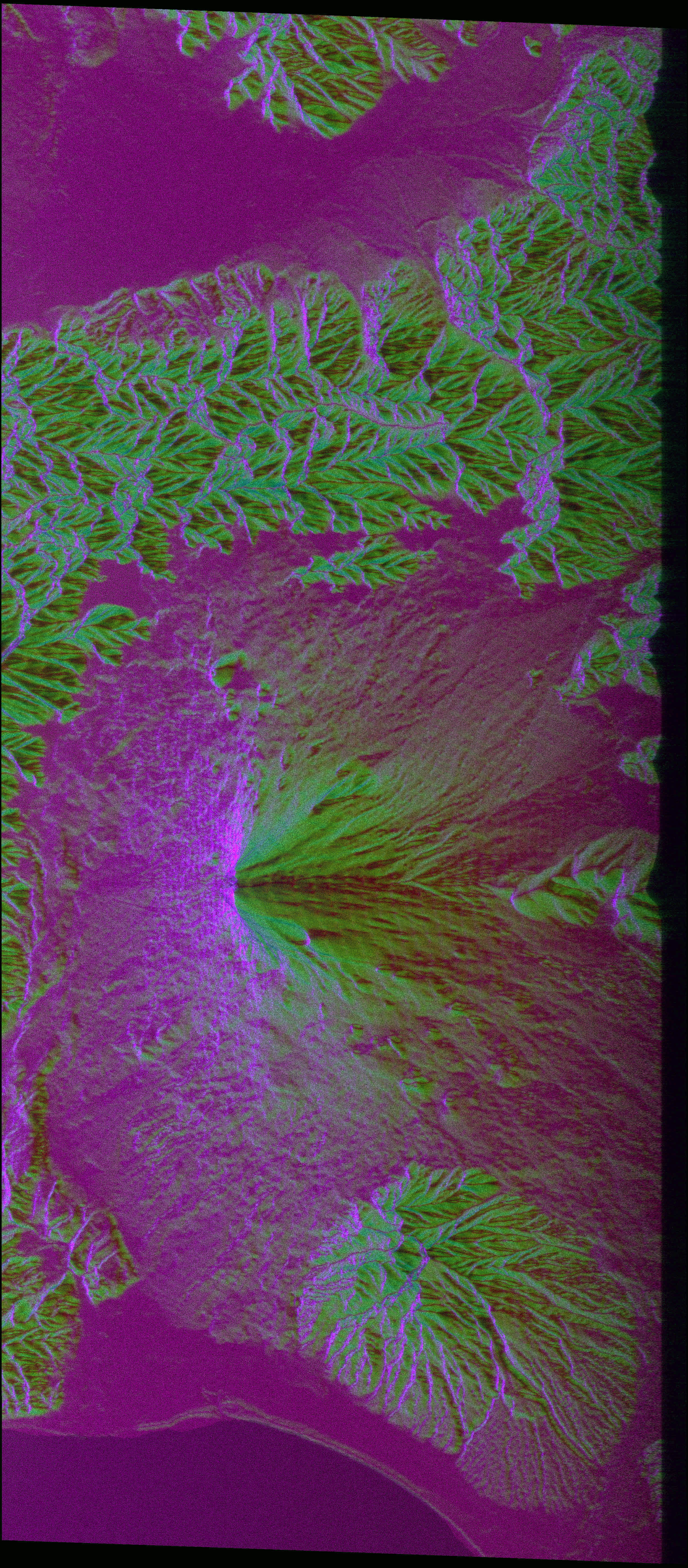 |
Level 1.1 Level 1.5 |
| ScanSAR Mode, Single Polarization (WB1) | |
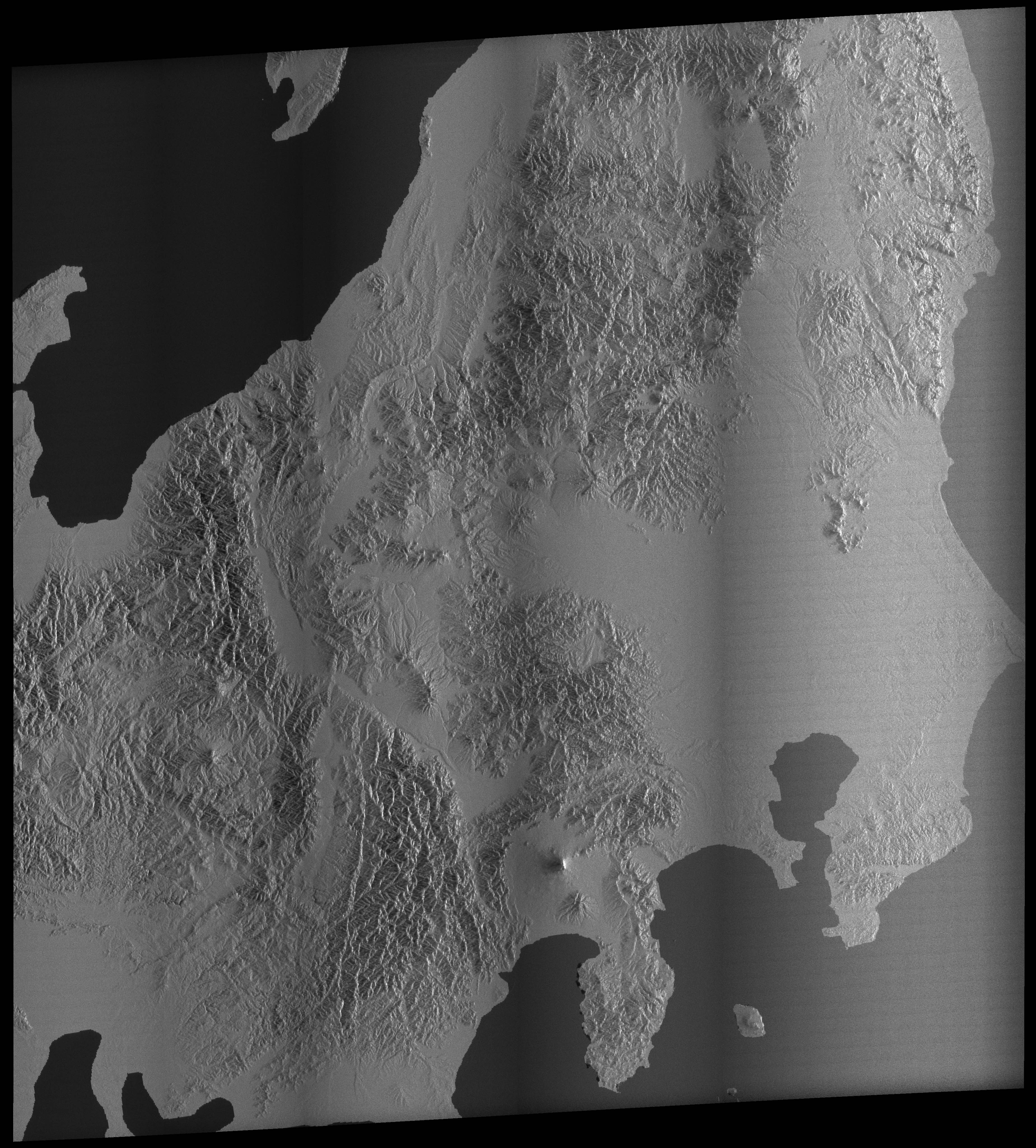 |
Level 1.0 Level 1.5 |
| Fine Mode, Single Polarization (FBS) | |
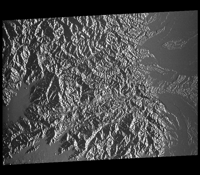 |
Level 1.1 Level 1.5 |
| Fine Mode, Dual Polarization (FBD) | |
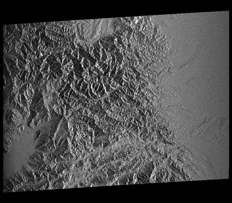 |
Level 1.0 Level 1.1 Level 1.5R (Geo-reference) Level 1.5G (Geo-coded) |
- PRISM -
| OB1 (Forward view of triplet observing mode) | |
|---|---|
 |
Level 1A Level 1B1 Level 1B2 (Geo-reference) |
| OB2 (Nadir view (70km) of Nadir + Backward observing mode) | |
 |
Level 1A Level 1B1 Level 1B2 (Geo-reference) |
- AVNIR-2 -
 |
Level 1A Level 1B1 Level 1B2 (Geo-reference) |