ALOS-3
Simulation images
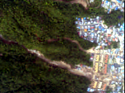
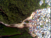
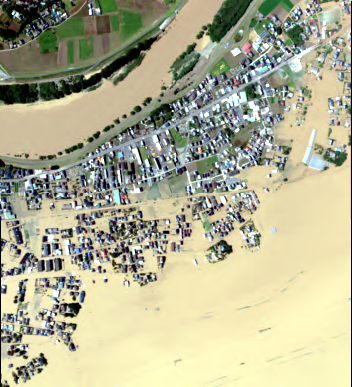
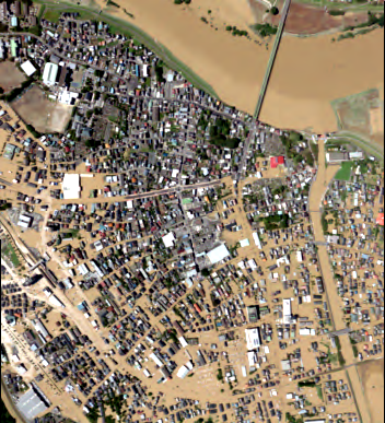
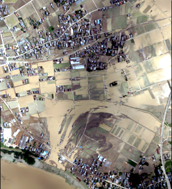
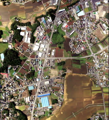
ALOS-3 simulation images are created by adding atmospheric degradation, quantization, MTF, SNR, compression, and attitude variation components based on the specifications of ALOS-3 using high-resolution images of aircraft. (See the presentation materials of the 2nd utilization workshop.)
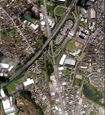
Please note that these images are not the same as the standard product of ALOS-3, and no geometric information is added. Also, the data will be in 4 files, panchromatic and multiband (RGB).Around Hiroshima City, Hiroshima Prefecture, August 28, 2014.
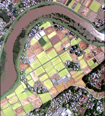
Around Joso City, Ibaraki Prefecture, September 11, 2015.
Please click here(https://earth.jaxa.jp/en/data/policy/) for the terms of use of this sample product.
If you use this sample product for public presentation or printed matter, please indicate that the original data is based on the sample product provided by JAXA, and write "©JAXA" clearly.