
ALOS-2/PALSAR-2 Observation Results of the 2015 Nepal Earthquake (1)
The Japan Aerospace Exploration Agency (JAXA) has been performing the emergency observations with the Phased Array type L-band Synthetic Aperture Radar-2 (PALSAR-2) aboard the Advanced Land Observing Satellite-2 (ALOS-2, "DAICHI-2") for monitoring the effects of an earthquake struck Nepal on April 25, 2015 (local time). The emergency observations were requested from Sentinel Asia and the International Charter.
We analyzed the PALSAR-2 data acquired on April 26, 2015, 7:02 (GMT) over Kathmandu. Figure 1 shows the coverage area of the data.
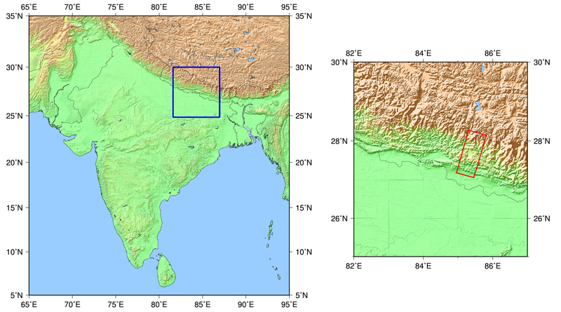 Fig.1: The coverage area of the PALSAR-2 data acquired on April 26, 2015 (red box)
(Click to view enlarged image)
Figure 2 shows the overall image obtained with the high-resolution 3 m mode (dual polarization). The color composite in the image represents HH polarization in red, HV polarization in green, and HH/HV in blue. Different color in the image indicates different backscattering signals from the ground. Bright purple and green colors generally indicate buildings. The color difference depends on the difference of urban structures or building shapes and do not directly show the damage.
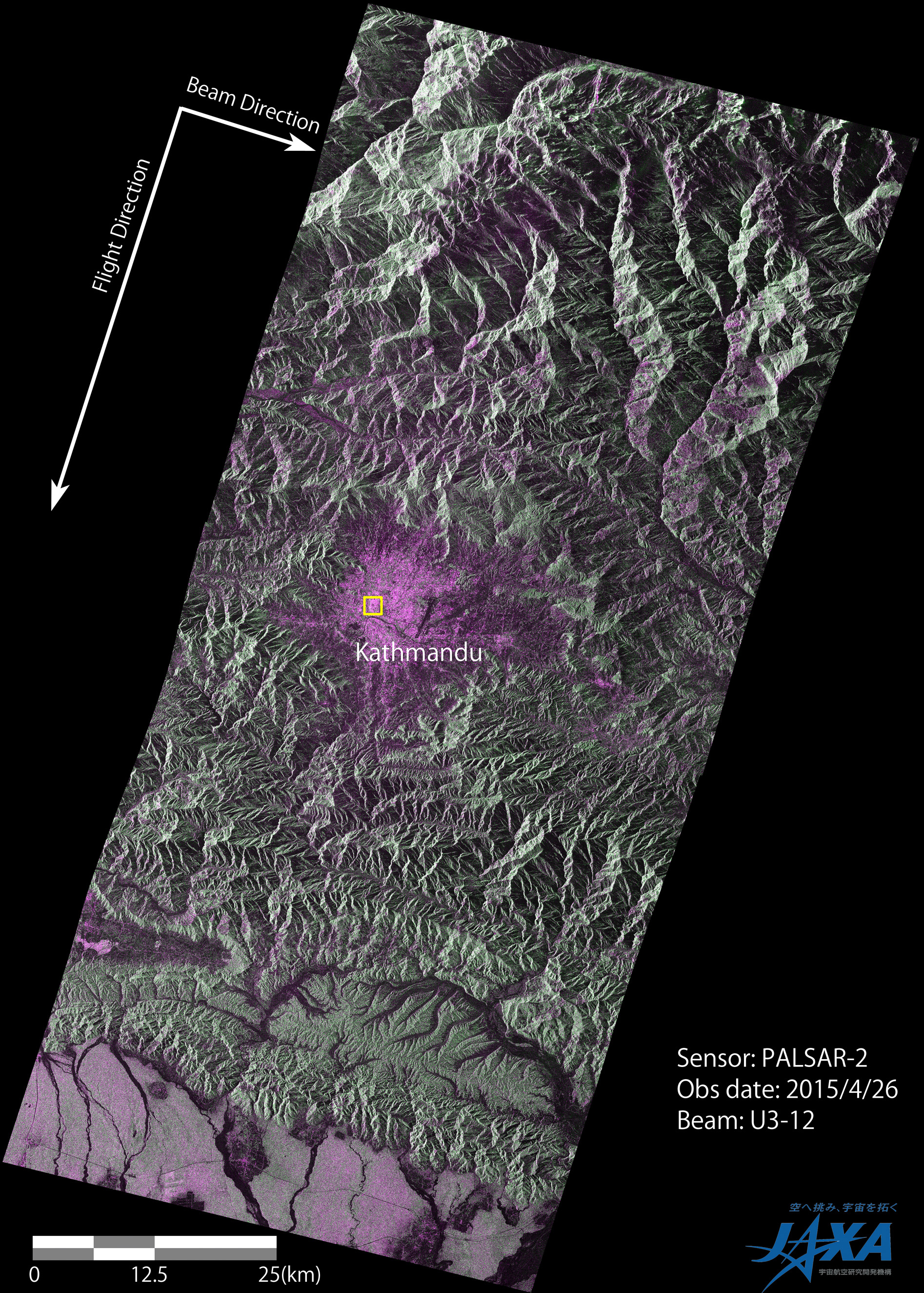
(Click to view enlarged image)
An enlarged image of a part of Kathmandu is shown in Figure 3. We compared it with the image acquired before the earthquake (March 3, 2015) with 10 m resolution mode. Although the observation resolutions and angles of two images were different, the areas becoming dark color after the earthquake probably indicate the damages of buildings. The yellow circle (1) and (2) are the locations of the Durbar square and the Dharahara (Bhimsen) tower.
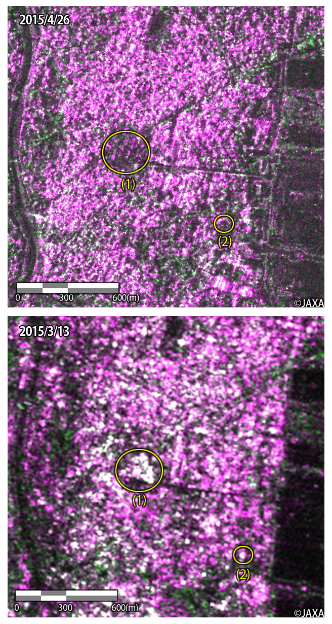
Top: after the earthquake (April 26, 2015), bottom: before the earthquake (March 13, 2015)
(Click to view enlarged image)
JAXA will continue the observation at this area and will provide PALSAR-2 images and results to relevant organizations and this website.
See also:
2015/5/1: ALOS-2/PALSAR-2 Observation Results of the 2015 Nepal Earthquake (2)
The 2015 Nepal Earthquake: Crustal deformation detected by ALOS-2 data (Geospatial Information Authority of Japan) http://www.gsi.go.jp/cais/topic150429-index-e.html
© JAXA EORC
© Copyright 1997- All Rights Reserved.