On June 3, 2018, the Fuego volcano in Guatemala erupted and more than 100 people died.
Figure 1 show an image over North and Central America observed by TANSO-CAI on that day. The Fuego volcano is located around the red box in Fig. 1 and an enlarged this area images are shown in Fig. 2 and Fig. 3.
Figure 2 shows a clear sky image around the Fuego volcano on January 7, 2018, before the eruption. Location of the Fuego volcano is marked with a red cross.
Figure 3 shows before and after images of the Fuego volcano eruption from May 31 to June 6, 2018. On June 3, the Fuego volcano was hidden by clouds, however, the blown plume rose above the cloud top, which reached about 15 km. The pyroclastic flow at a speed of over 80 km per hour swallowed the villages at the foot of the Fuego and issued greater than 200 missing people.
※The TANSO-CAI image was composed of band2 (674nm) in red, band3 (870nm) in green and band1 (380nm) in blue.
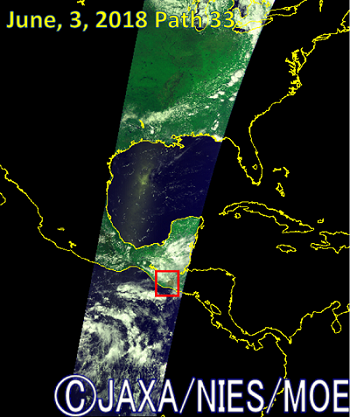
Fig.1 The TANSO-CAI image on June 3 from North America to Central America. The red frame shows around Fuego volcano.
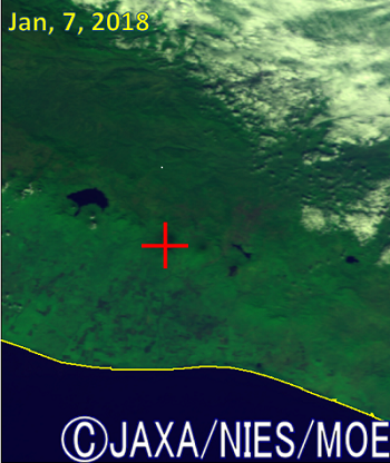
Fig.2 shows the clear sky image around Fuego volcano on January 7, 2018, before it erupted. The location of Fuego volcano marked with a red cross.
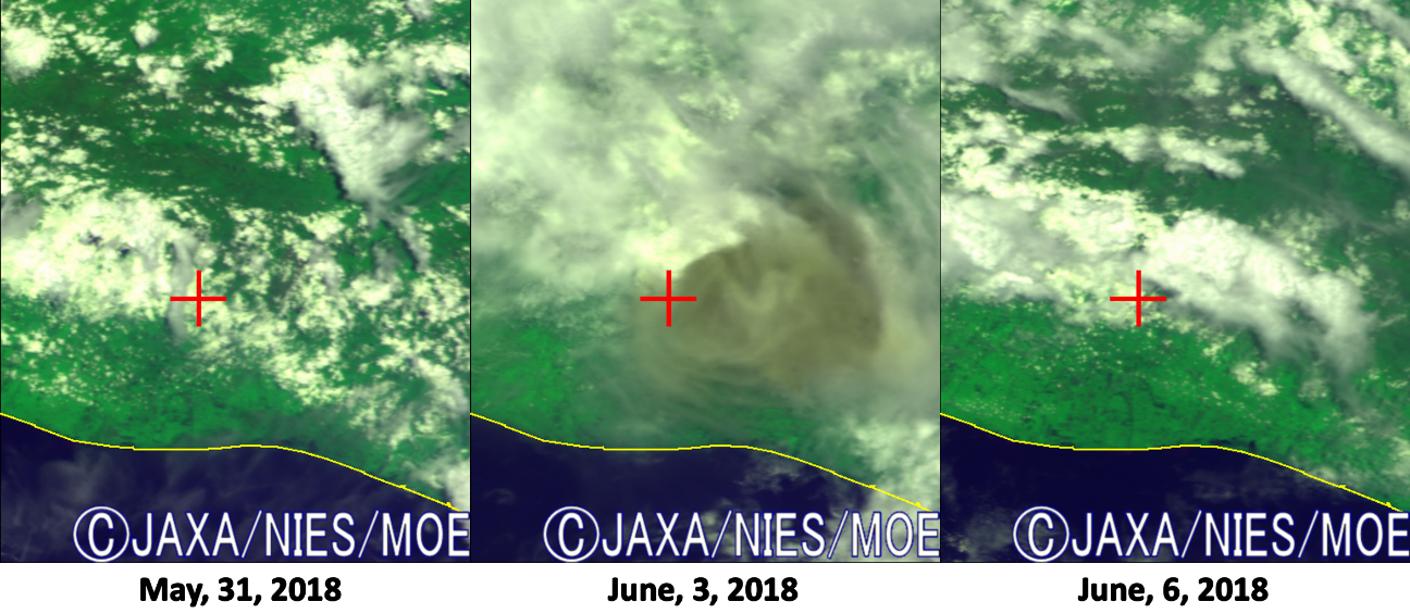
Fig.3 shows before-and-after images of Fuego volcano eruption (from May 31 to June 6).
Related article:NASA Official A Deadly Eruption Rocks Guatemala
