


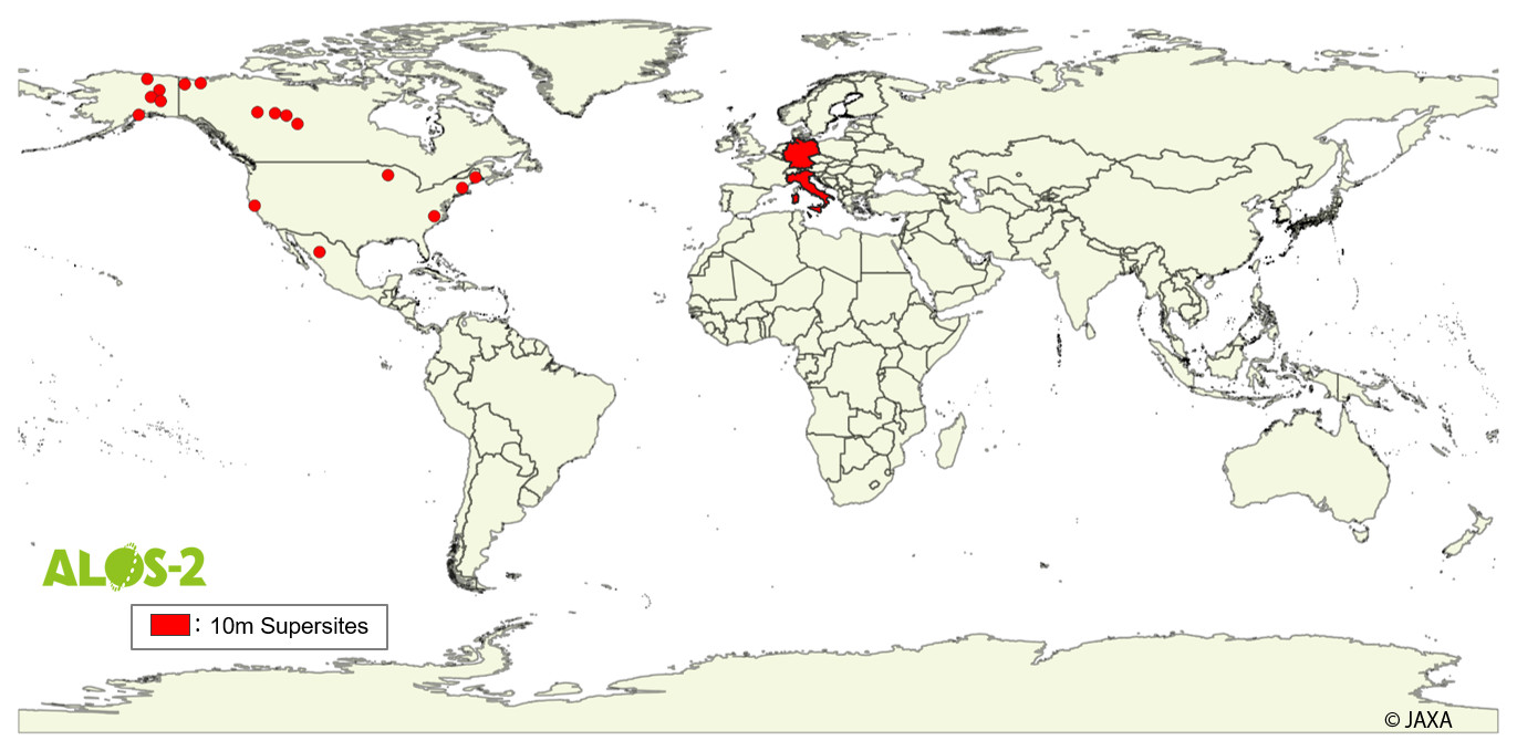
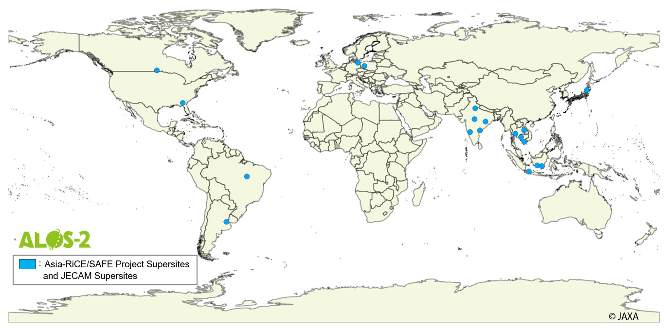
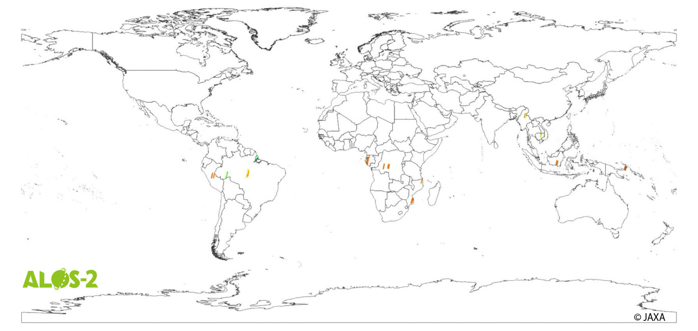
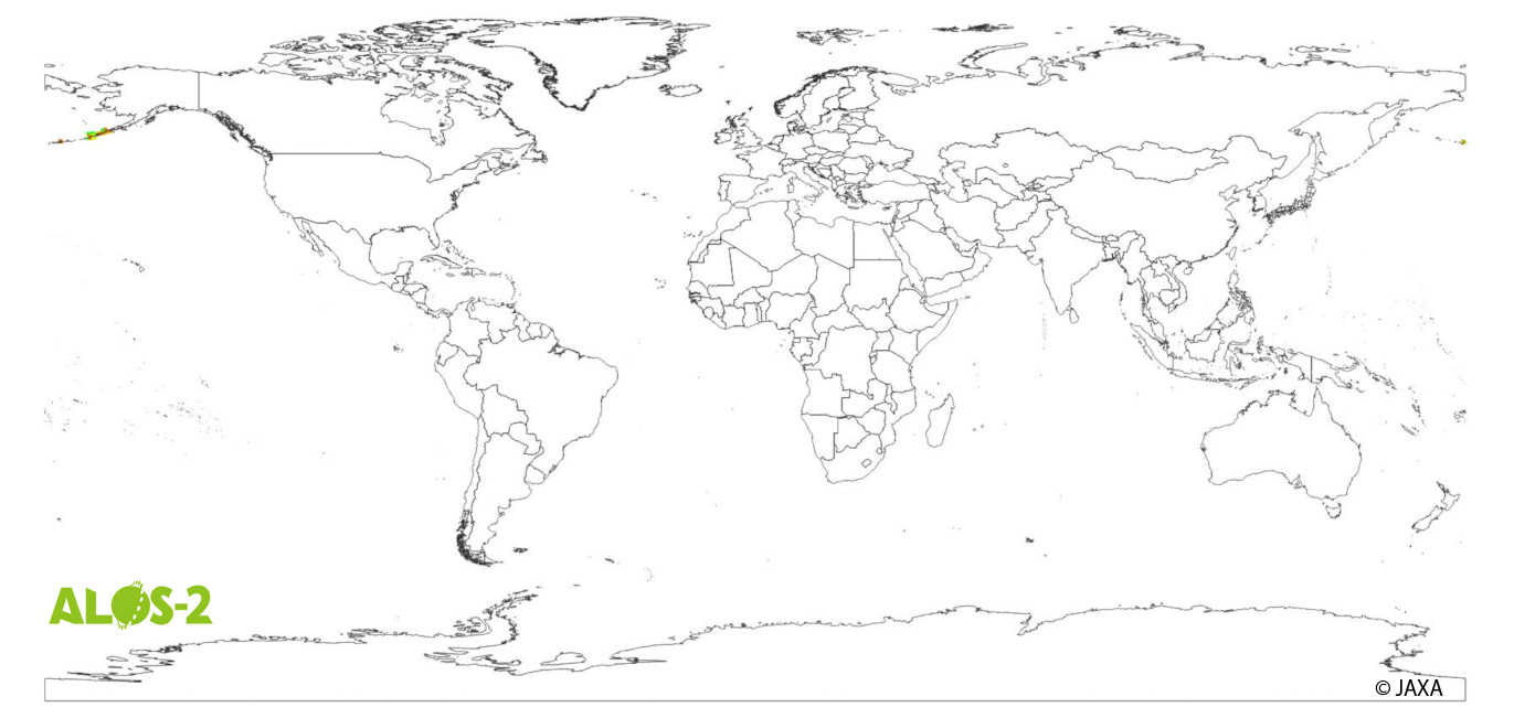
The following maps shows the currently observing areas of the ALOS-2 Supersites.
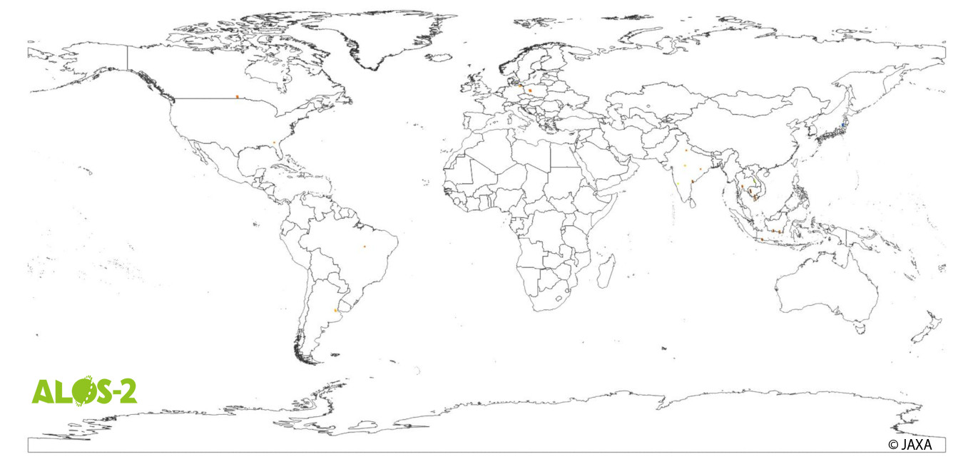
■10m Supersites ■Asia-RiCE/SAFE Project
 |
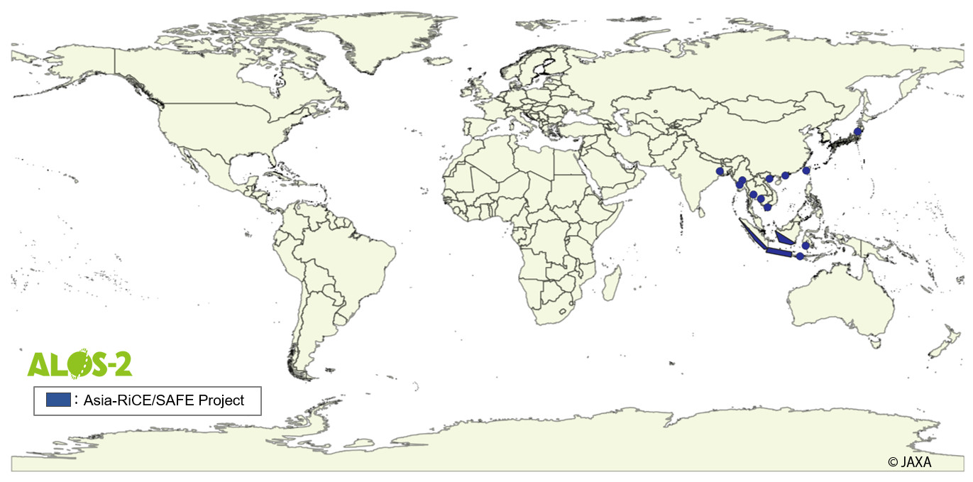 |
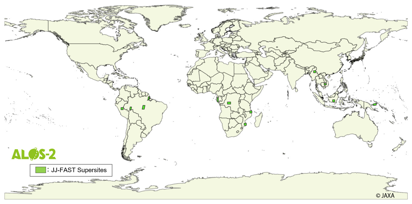
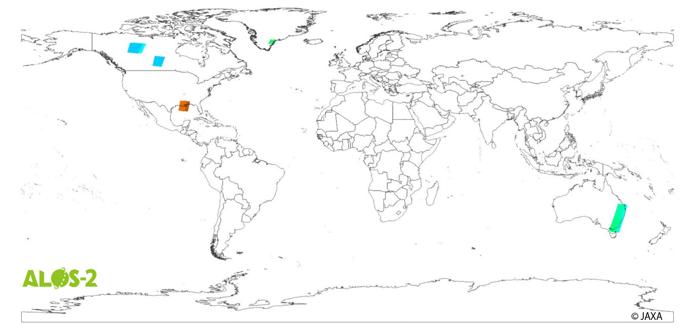
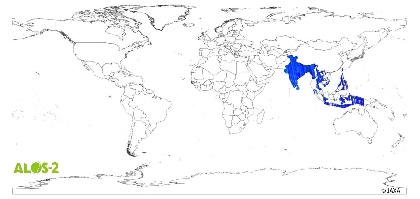
■Asia-RiCE/SAFE Project Supersites and ■JJ-FAST Supersites
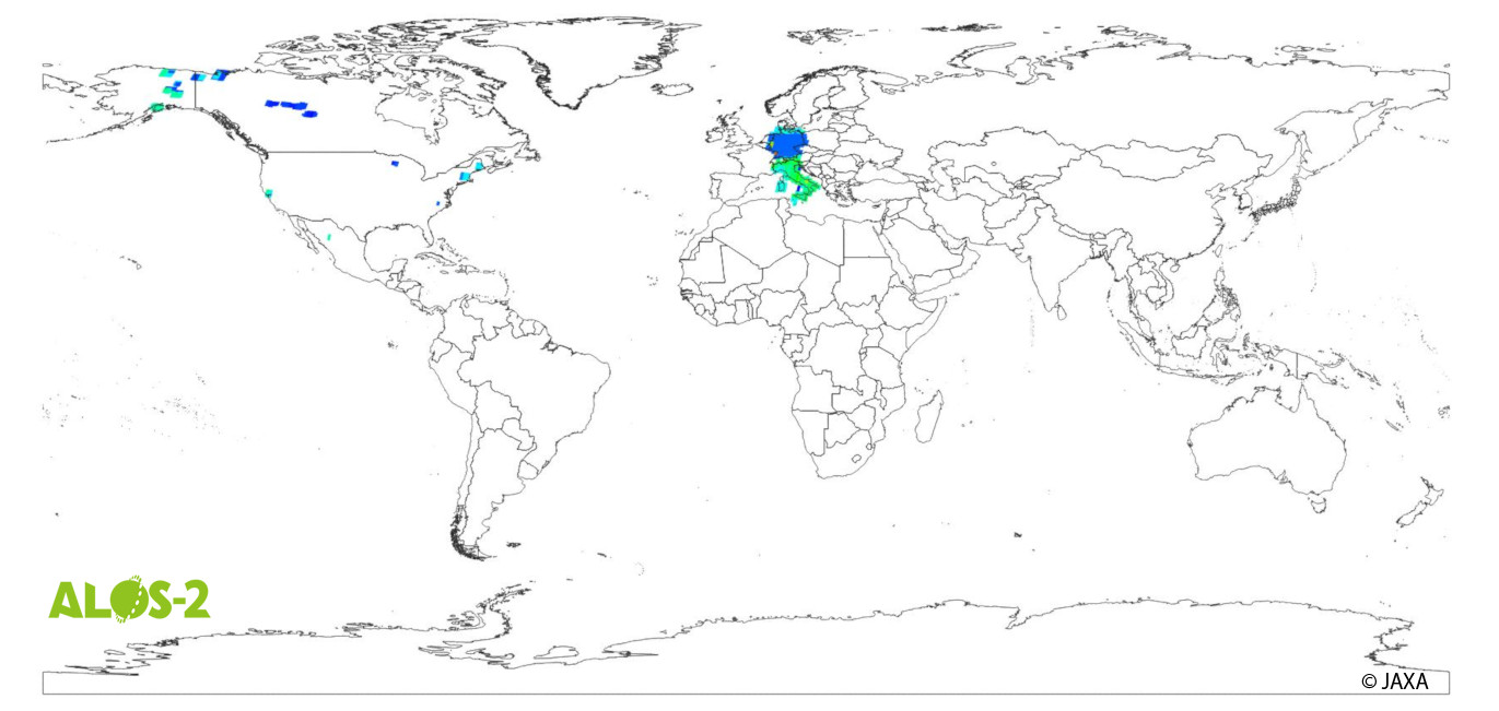
JECAM Supersites
 |
 |
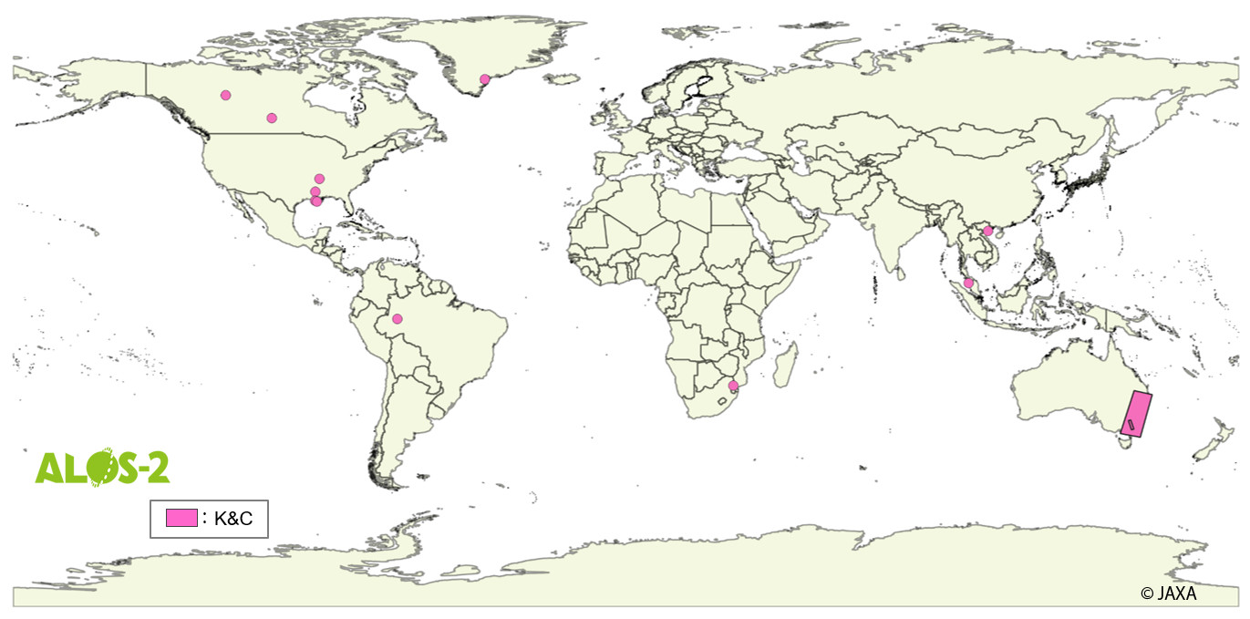
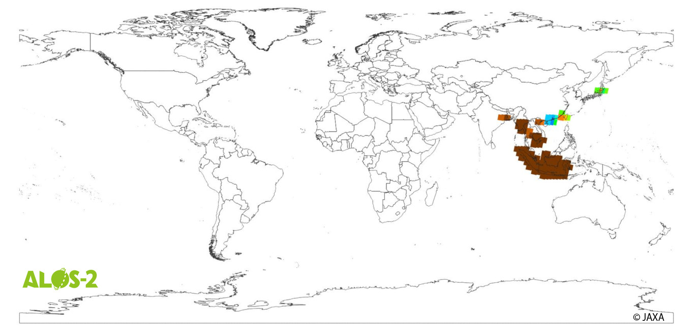
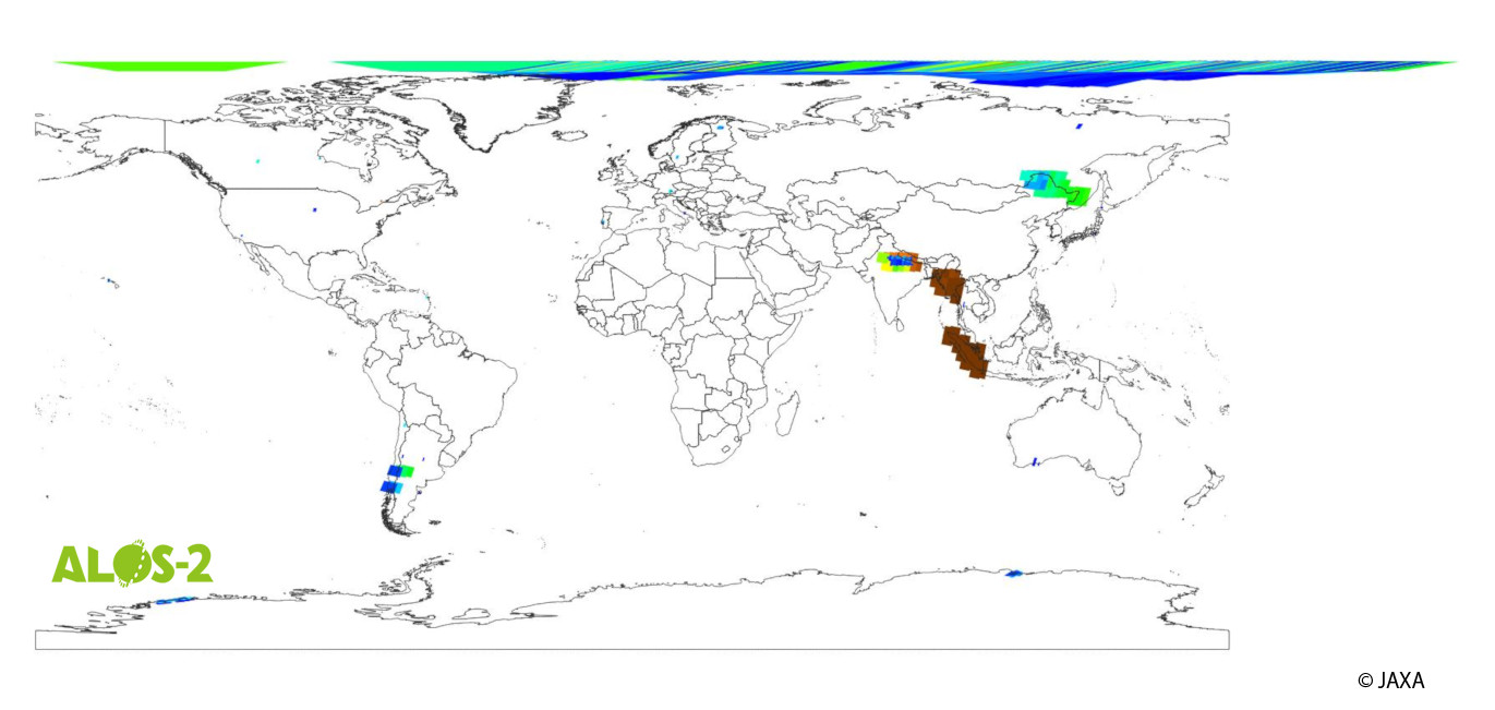
■K&C ■PI Supersites
 |
 |
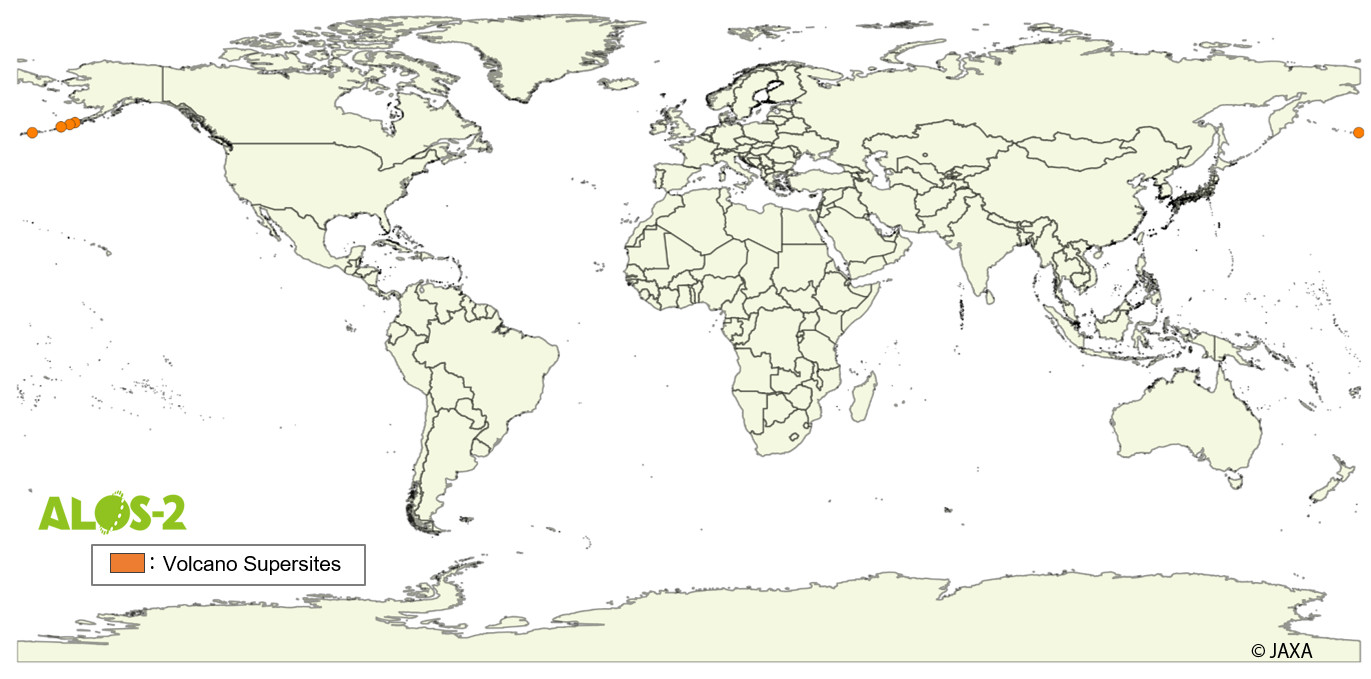
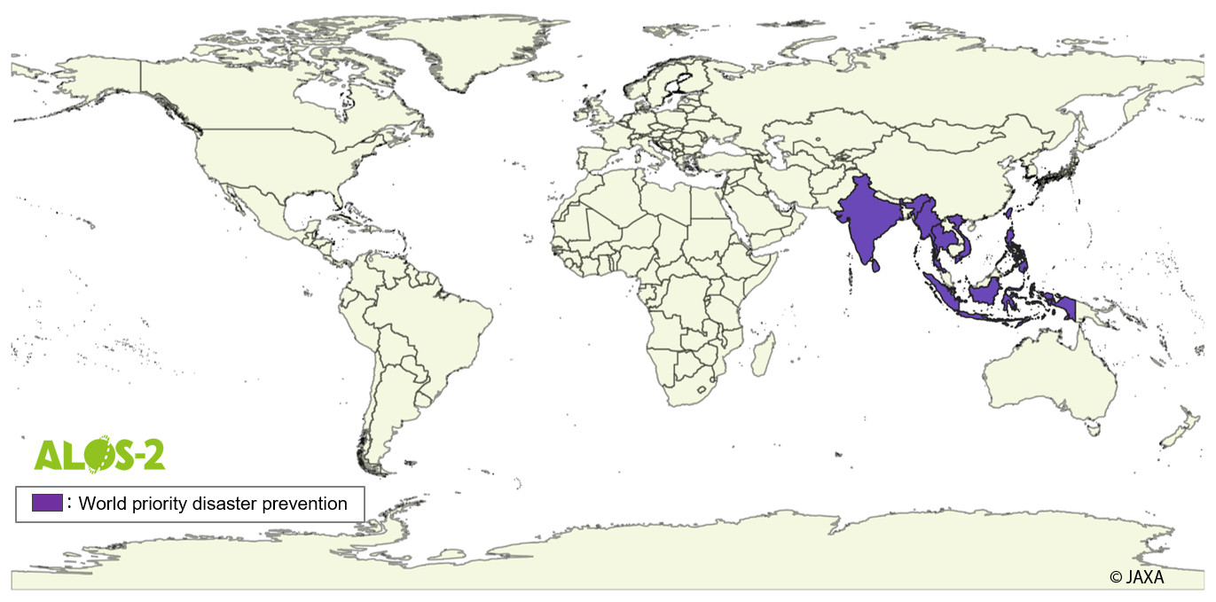
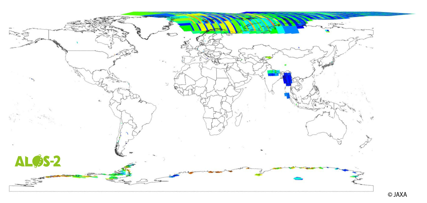
■Volcano Supersites ■World priority disaster prevention
 |
 |
Observation results of Supersites (from observation start date to present:2014/8/4~2020/12/13) are summarized in the KML files for each observation sites.
※There is no KML for the requests without observation results.
■10m Supersites ■Asia-RiCE/SAFE Project
 Descending Download KML(Zip compress) |
 Descending Download KML(Zip compress) |
■Asia-RiCE/SAFE Project Supersites and ■JJ-FAST Supersites
JECAM Supersites
 Ascending Download KML(Zip compress) |
 Descending Download KML(Zip compress) |
■K&C
 Descending Download KML(Zip compress) |
 Ascending Download KML(Zip compress) |
■PI Supersites
 Descending Download KML(Zip compress) |
 Ascending Download KML(Zip compress) |
■Volcano Supersites ■World priority disaster prevention
 Ascending Download KML(Zip compress) |
 Ascending Download KML(Zip compress) |
●Overview
Observation results of Supersites shows the number of observations for each scene during
the period 2014/8/4~2020/12/13. The results are summarized in the KML and JPEG format
for each observation Site Name respectively.
●Observation Mode
SM1(StripMap 3m), SM2(StripMap 6m), SM3(StripMap 10m)and W2(ScanSAR)are included.
●Information stored in KML files
The following table shows the contents of KML files.
| No. | Definition | Contents |
| 1 | Path number | 001~207 |
| 2 | Frame number | 0000~7190 |
| 3 | Number of observations | 1~over 60 |
| 4 | Beam number | Ex.) F2-5 |
| 5 | Orbit direction | A:Ascending D:Descending |
| 6 | Observation direction | R:Right looking L:Left looking |
●Beam Number
The following table shows the relationship between the beam number and observation mode/off-nadir angle.
| Beam Number | Observation mode | Off-nadir angle (deg) |
| U2-6 | SM1 (StripMap 3m) | 29.1 |
| U2-7 | 32.7 | |
| U2-8 | 35.4 | |
| U2-9 | 38.2 | |
| U3-10 | 40.6 | |
| U3-11 | 42.7 | |
| U3-12 | 44.7 | |
| U3-13 | 46.4 | |
| U3-14 | 48.0 | |
| FP6-3 | SM2 (StripMap 6m) | 18.0 |
| FP6-4 | 21.9 | |
| FP6-5 | 25.6 | |
| FP6-6 | 29.1 | |
| FP6-7 | 32.7 | |
| F2-5 | SM3 (StripMap 10m) | 28.2 |
| F2-6 | 32.7 | |
| F2-7 | 36.2 | |
| F3-8 | 39.3 | |
| F3-9 | 41.9 | |
| F3-10 | 44.3 | |
| W2 | ScanSAR | 34.9 |
●Definition of KML file name
The definitions of KML file name are as follows;
{Site Name}_{Beam Number}_{A/D※1}_{R/L※2}_
{The first observation day in storage data※3}_{The last observation day in storage data※4}.kml
※1
A:Ascending
D:Descending
※2
R:Right looking
L:Left looking
※3/4
Observation results period of this time
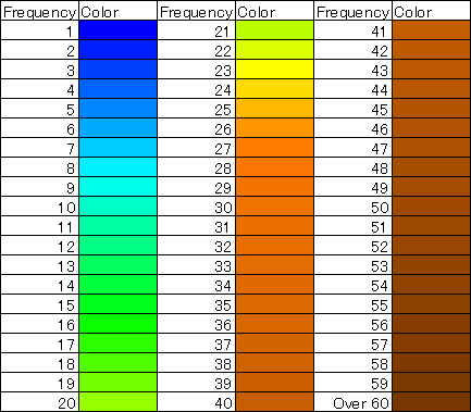
●Legend of color
The legend below shows the relationship between the color in the KML files and the number of observations.