Seen from Space 2010
Remains of a Diamond Mine: The Republic of South Africa
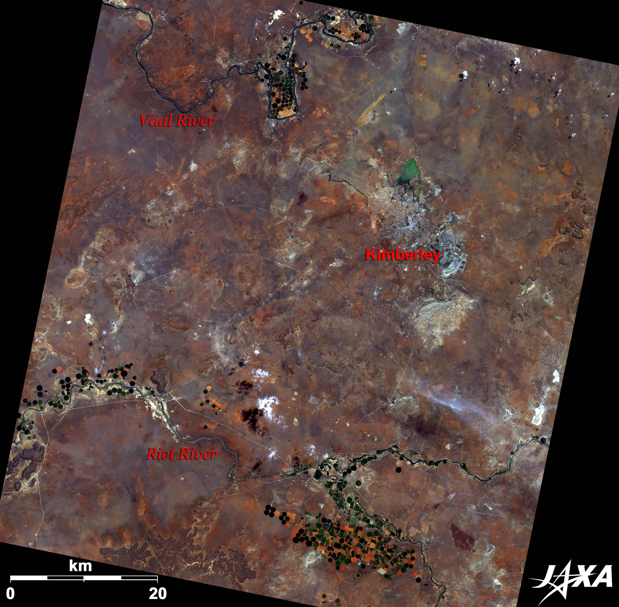 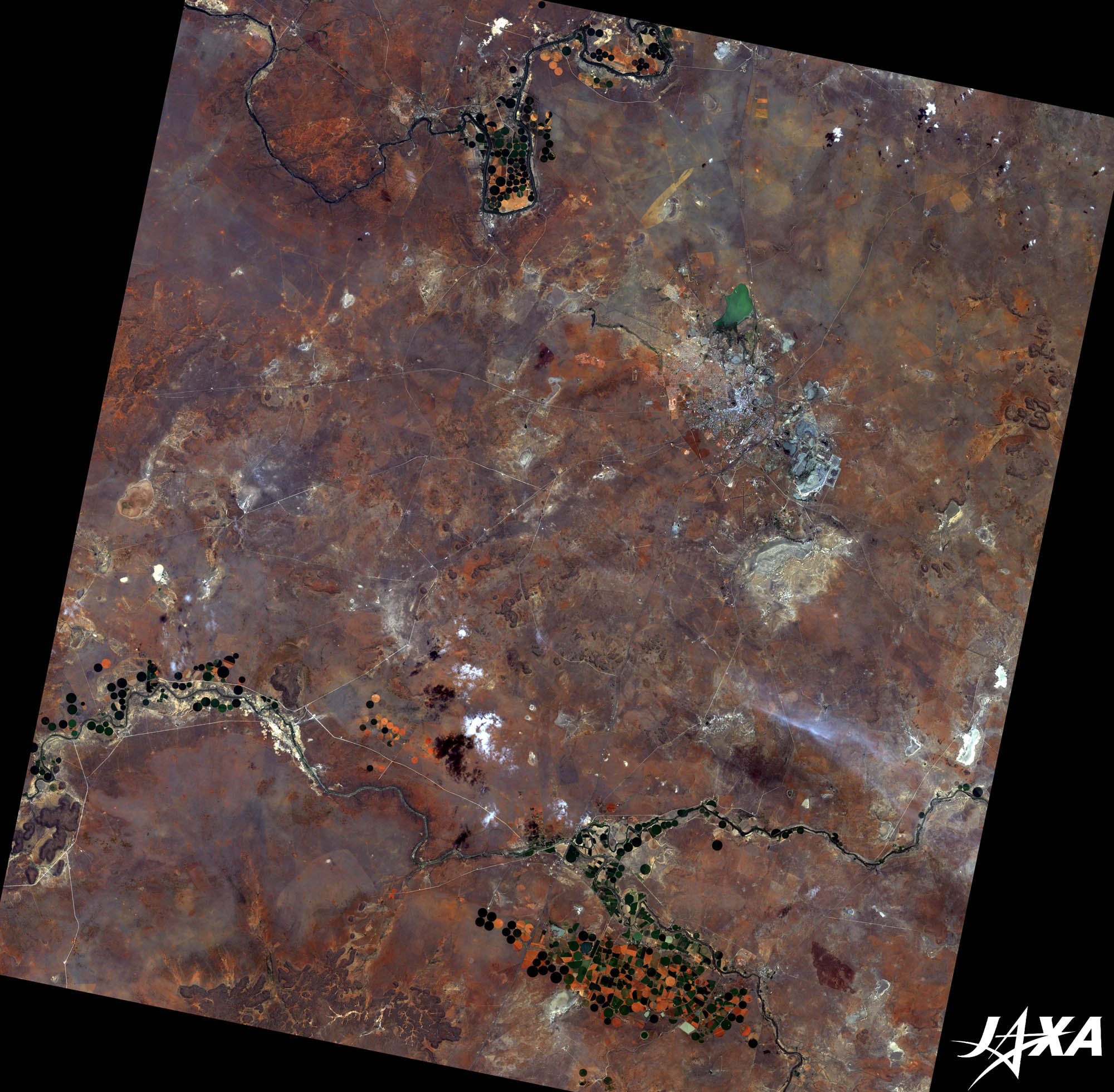 Fig. 1. Vicinity of Kimberley in South Africa
Figure 1 depicts Kimberley and its vicinity in the Republic of South Africa as observed by the Advanced Land Observing Satellite (ALOS) “Daichi” on October 19, 2006, and December 14, 2006. The bluish-grey area near the center of the image is Kimberley, which is located about 400 km southwest of Johannesburg, the capital of the Republic of South Africa. Two rivers are visible in the image. The river at the top of the image is the Vaal River, the largest branch of the great Orange River (120 km south of Kimberley), which flows westward through the central part of the Republic of South Africa. The river in the bottom is a branch of the Vaal River. Many orange or black circular fields are visible along the rivers. These circular fields with central-pivot irrigation systems are often seen in other arid regions as well. 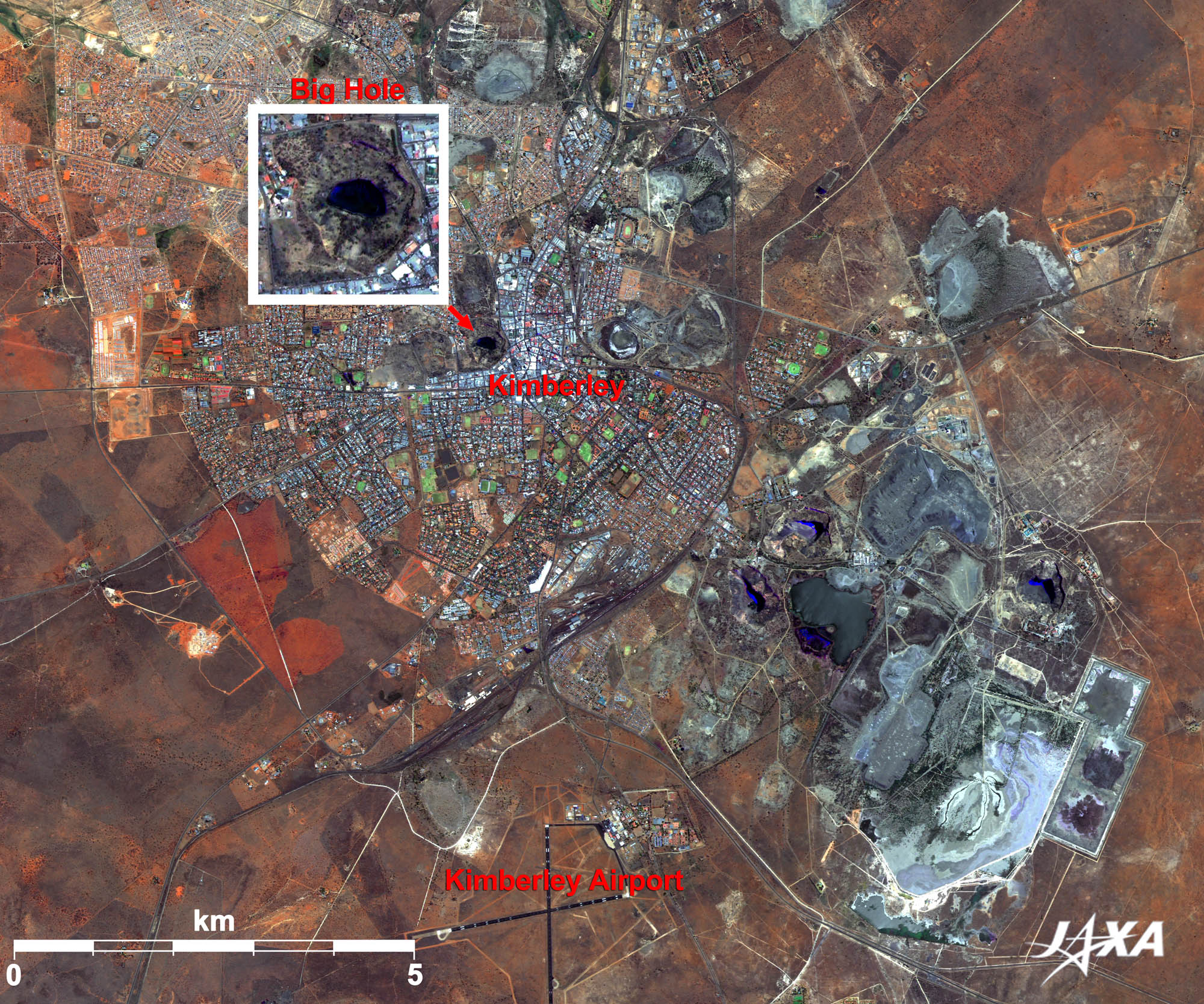 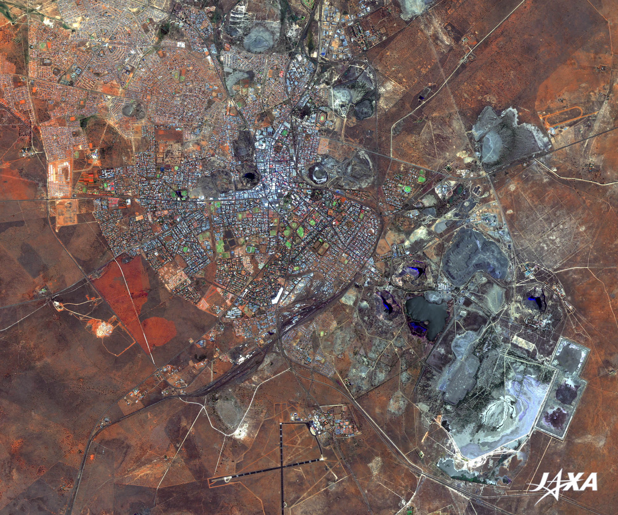 Fig. 2. Central Part of Kimberley
Kimberley (kmz, 4.16 MB, Low Resolution) as seen on Google Earth Figure 2 presents a close-up image of Kimberley. Kimberley Airport with crossed dark runways is visible at the bottom center of the image. Some holes in the pale white region on the right are mining pits at present. A dark semi-circular hole filled with water west of the city center is the remains of a pit called the “Big Hole.” Before being abandoned in 1914 it was the largest manmade hole in the world. The hole was 1.6 km around and 240 meters deep but it is now partially filled in. It is said that about 2,700 kg of diamonds were excavated before it was abandoned. There is a movement to register this area to World Heritage Sites for its historical value of diamond mining in South Africa. 
South Africa and DiamondsIn ancient times, diamonds were mined in India. Excavation rushes began in South Africa when rough diamonds were found at Orange River in 1866. The miners poured into Kimberley, and the place that they mined is the “Big Hole.” Unlike other minerals, no refinement process is necessary for diamonds; therefore, though many mining places are seen from the image the town is not large. 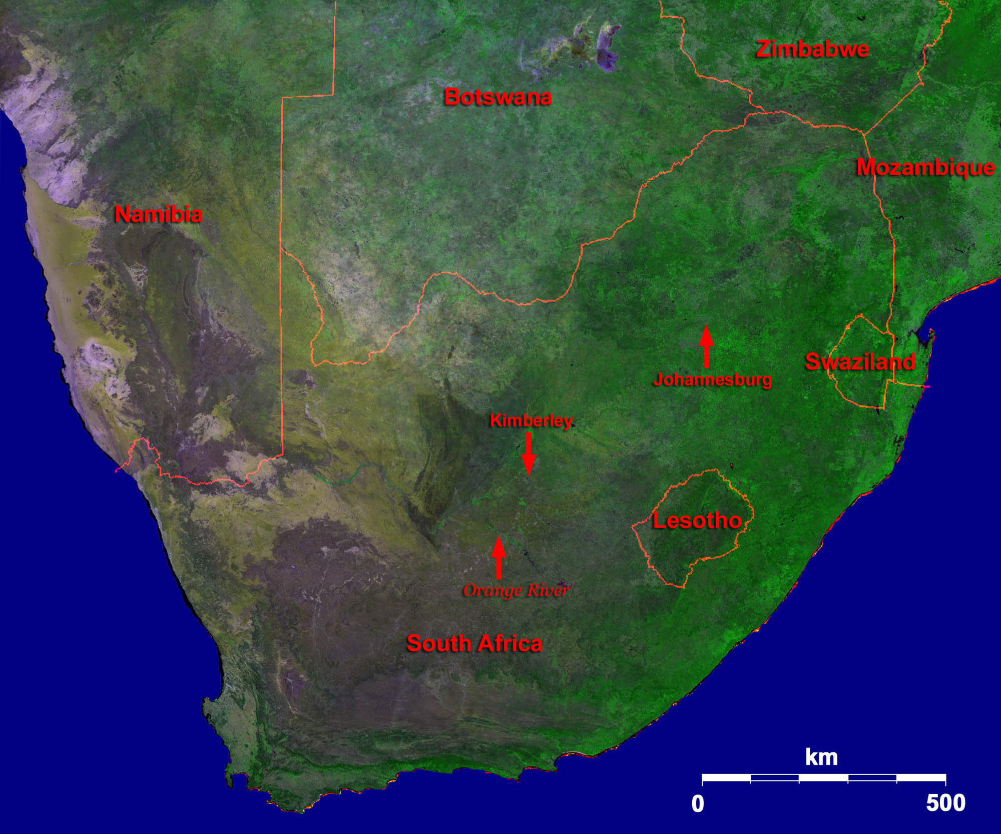 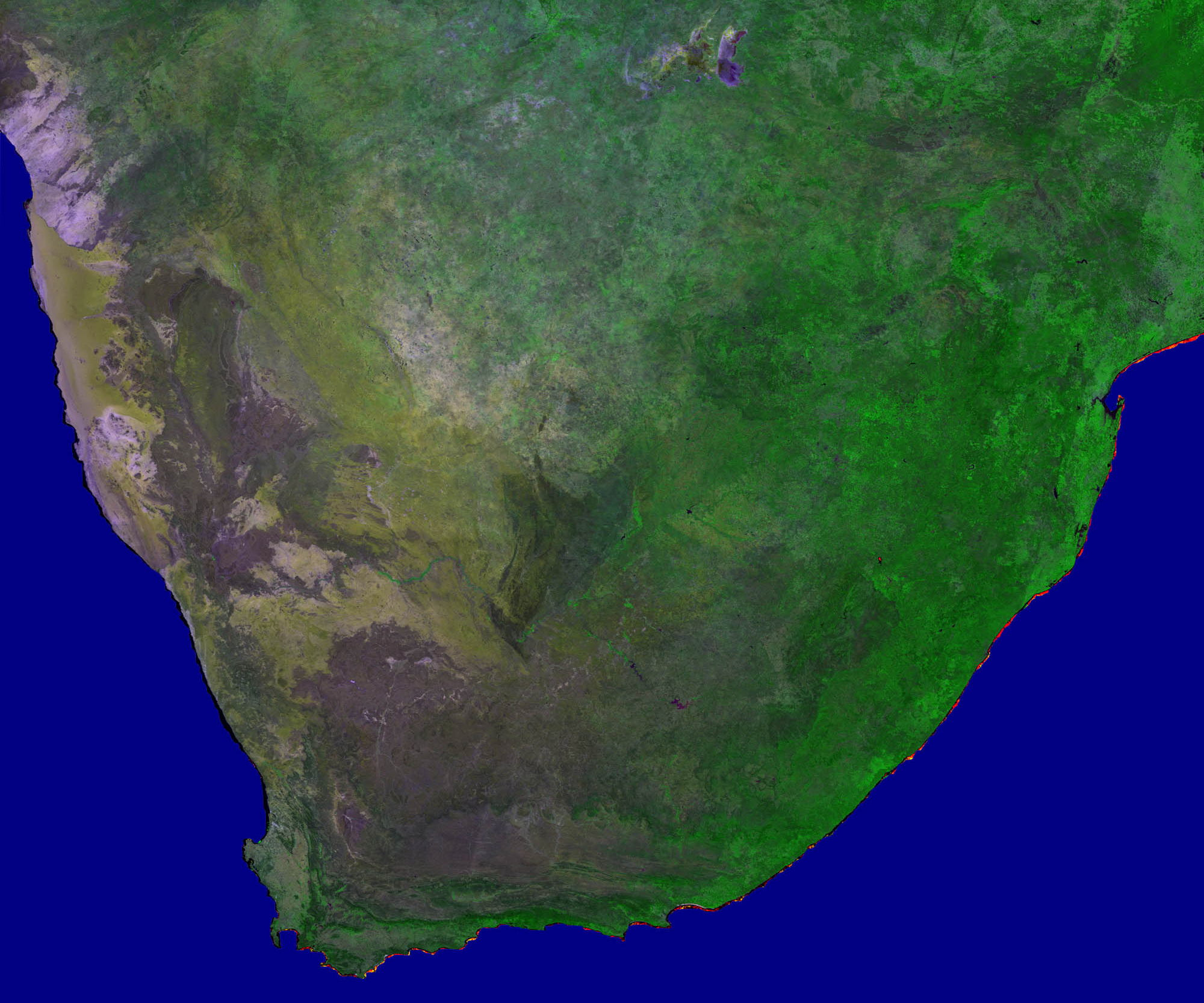 Fig. 3. Southern Africa
Figure 3 presents an image of southern Africa as observed by MODIS on board NASA’s earth observing satellite TERRA. Botswana is located to the north of the Republic of South Africa. The Orange River flows westward through the southern part of the Republic of South Africa, serves as the Namibia border, and empties into the Atlantic Ocean. FIFA World Cup 2010 South Africa will take place from June to July 2010 in South Africa. Remains of the Kimberley diamond mine may draw the attention of visitors. Explanation of the Images: (Figs. 1 and 2)
AVNIR-2 has four observation bands. The composite images are usually produced by assigning red to Band 3 (610 to 690 nm), green to Band 2 (520 to 600 nm), and blue to Band 1 (420 to 500 nm). The resulting images have natural coloring as if seen by the naked eye. Thus, the following colors designate ground objects:
PRISM is an optical sensor for observing ground surfaces with visible and near-infrared signals in the 520- to 770-nanometer (one-billionth of a meter) band. The acquired image is monochrome. PRISM has three independent optical systems (telescopes) to acquire images for nadir, forward, and backward views at the same time. Only the nadir image was used in this article.
|


