Seen from Space 2003
| ESTIMATED CLOUD-TOP HEIGHT OF THE INTENSE HURRICANE "ISABEL" |
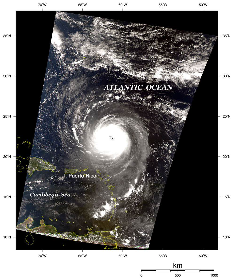
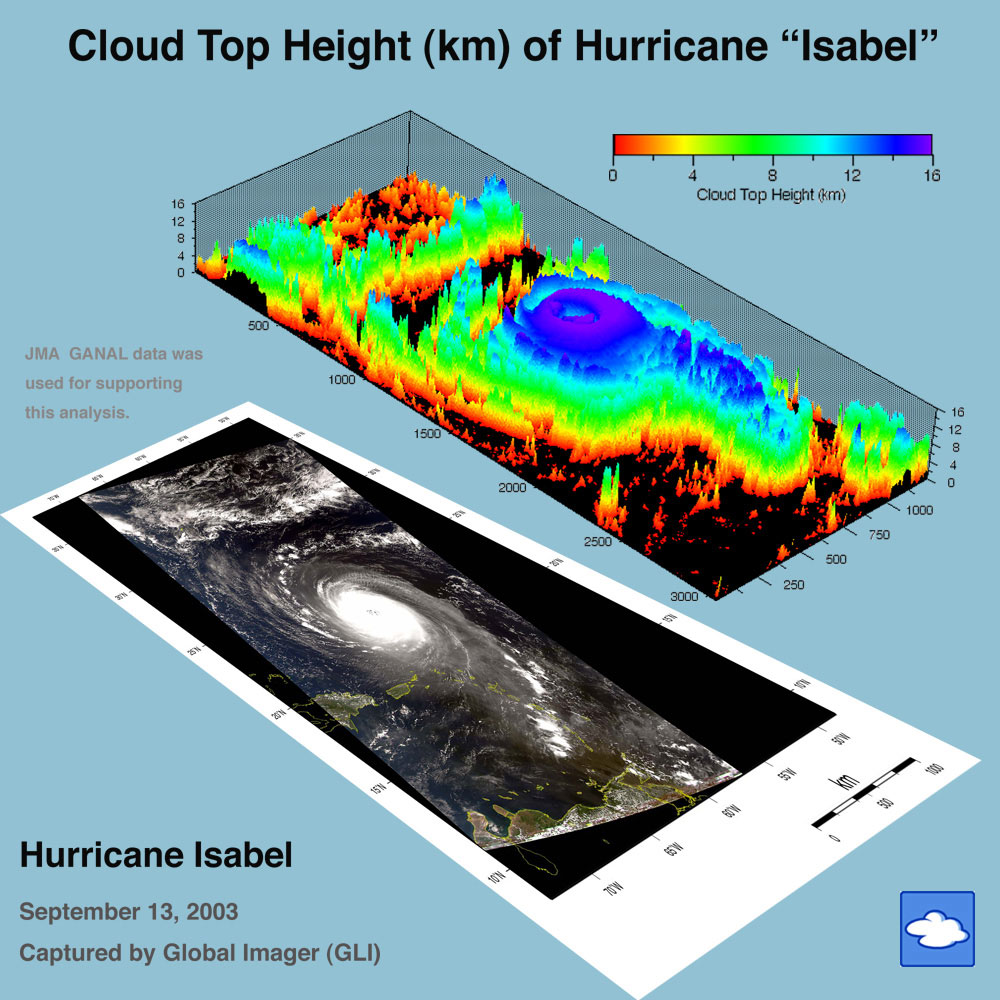
GLI acquired information about an intense hurricane, assigned the name "Isabel," over the West Indies on September 13, 2003. The Dominican Republic, Puerto Rico and Venezuela can be seen on the lower hurricane image. The upper image indicates cloud-top heights of the hurricane estimated from the lower image. The cloud-top reached 16km at a very low temperature (-70°C). A high cloud top is indicative of a strong hurricane. The two-track eye in the hurricane center is clearly visible. "Isabel" became an extratropical cyclone on September 19, then landed on the east coast of United States. It caused thirty deaths, a blackout in and around Washington, and temporary closure of federal offices. In addition to cloud-top height, the GLI analysis algorithm retrieves cloud-top temperature, cloud particle size, and so on. * This 3D graphic image was generated using a different color for each cloud-top height, which varied according to each area of the hurricane that was measured. Although the image indicates continuous clouds from the cloud-top to land surface, the three-dimensional cloud structure was not necessarily continuous. *When the maximum wind speed of an extratropical cyclone surpasses 32.7m/s, it is referred to as a "huricane" if generated in the Atlantic Ocean, Caribbean Sea or eastern North Atlantic; a "cyclone" if in the Indian Ocean and the Bay of Bengal; and a "typhoon" if in the western North Pacific. In Japan, an extratropical cyclone with maximum wind speed exceeding 17.2m/s is called a "typhoon." Reference Webpage: "Isabel" on the TRMM typhoon database website |